9/15/2023
Section: Milepost 957.3 to 929.9
Total Trail Miles: 2007.3
Distance: 28.79 Miles
Moving Time: 12:04 hrs
Elevation Gain: 4446 ft
Phew… i stink - these Good-to-go freeze-dried meals really do a number on my tummy. Trying to avoid using the rain tarp if we can avoid it for a little extra ventilation. Despite the general, low air quality in the tent, we were still a little slow getting out this morning. It was cold and damp by Return Creek adding to the challenge.
Day 122 starts with a stout 500 foot climb out of Return Creek onto a long, skinny plateau, traveling southwest and slightly downhill under Elbow Hill. The path winds through gorgeous meadows as it sinks 1000 feet over 7 miles to Glen Aulin where the PCT crosses Tuolumne Creek. The trail turns east here and makes another short but stout climb along Tuolumne Creek, crossing it in spectacular fashion a number of times. Shortly after Glenn Aulin, the trail widens and takes on a much more “curated” look as it passes through gorgeous meadows and stands of trees. Eventually, the trail breaks out into Tuolumne Meadows at a spout of water called Soda Spring before crossing the river and approaching the Tioga Road. Lots of smaller, nature trails crisscross the PCT here before the trail joins the John Muir Trail and turns due east, making its way 4 miles along the Lyell Fork river. At mile 17, the path turns south again and begins a long and very mellow ascent up the Lyell Fork river valley. Five miles more and the head of the valley is reached and the grade increases substantially, rising 2000 feet in over four miles up manicured steps to Donohue Pass, one of the first of the great passes between here and Forester. The stage ends just on the other side of the pass in a shallow basin.
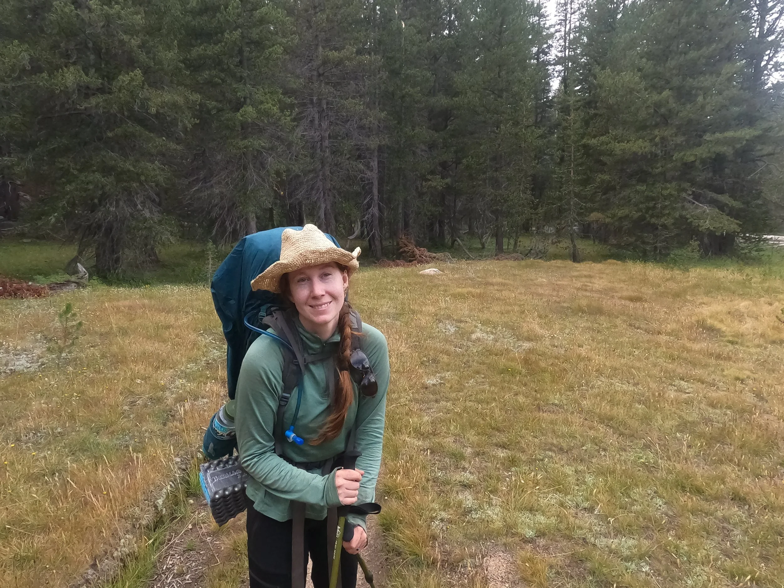
We crushed through the early climb of the day, out of Return Creek. The packs are getting real light which is a wonderful contrast to the early days of this stretch. After the climb, we were deposited onto a gorgeous long bench with bright yellow grass all around and granite domes on each side. It was amazing to be able to see so far south along it, like you could see almost all the way into Glen Aulin. We flew down the ramp, aided by the mellow grade. Overhead, the peace was occasionally broken by jets - I think we are on the approach for SFO, they were going over throughout the night. I feel like a park this famous should get a deviation by the FAA, but I guess nowhere is safe from the air traffic.
Eventually, we reached Glen Aulin. Trails went off Northwest and Southwest. Beautiful granite domes were visible in either direction and I was reminded of a backpacking trip Amanda and I had gone on with my sister six years back which was just 10-15 miles west of here, along the Tioga road. Trails transport you back like that, to another place and time when a younger version of yourself toiled up some nearby granite trail totally unaware that you would be back walking a similar trail not far away. I am so glad I got to do this. If you had asked me, back in 2017, if I thought I would get a chance to be here, having just turned the corner on 2000 miles along the PCT I'm not sure I would have believed you. We risked good careers and living in a place we loved for this but in the end, it has been so worth it to walk these momentous footsteps.
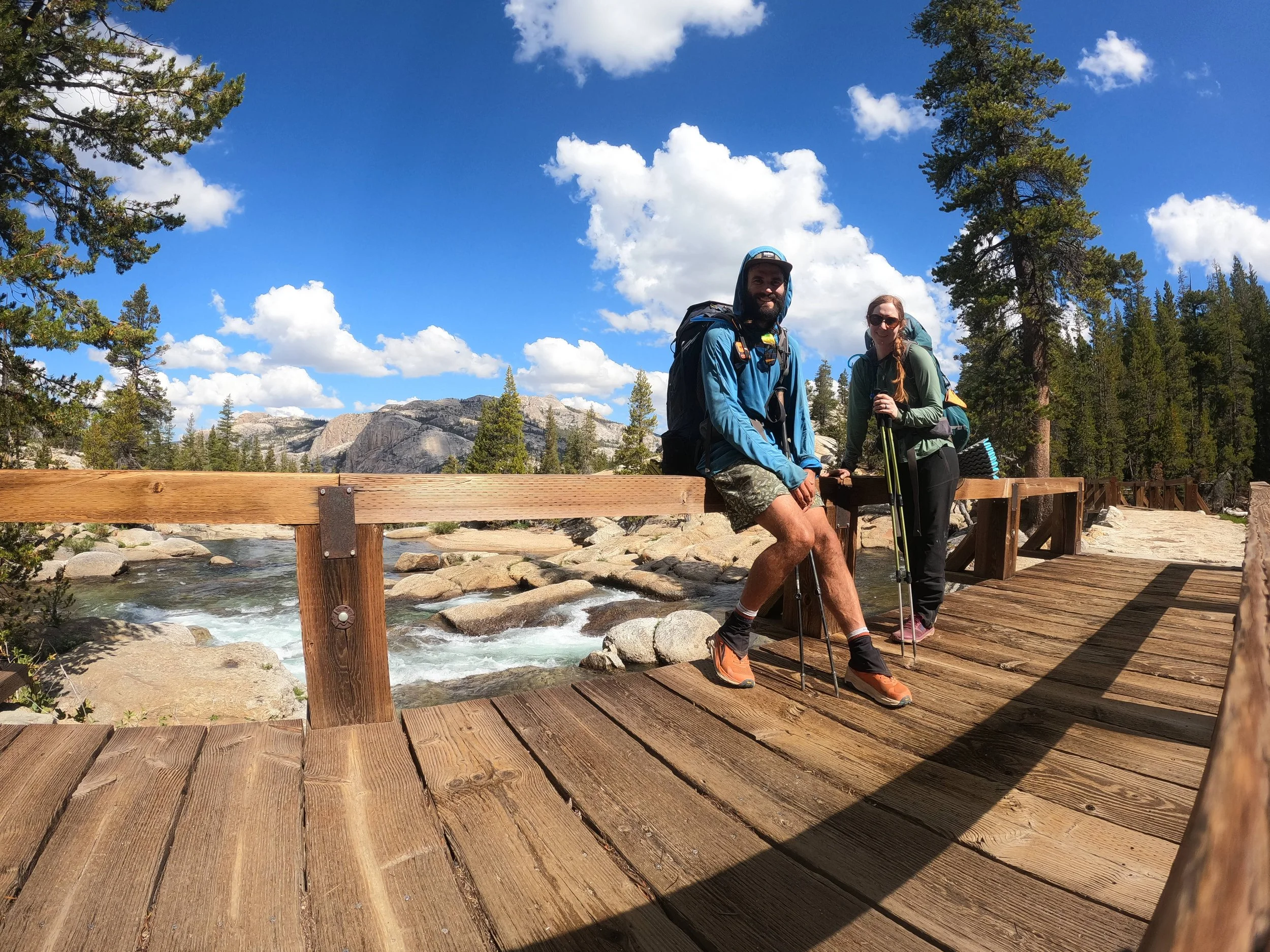
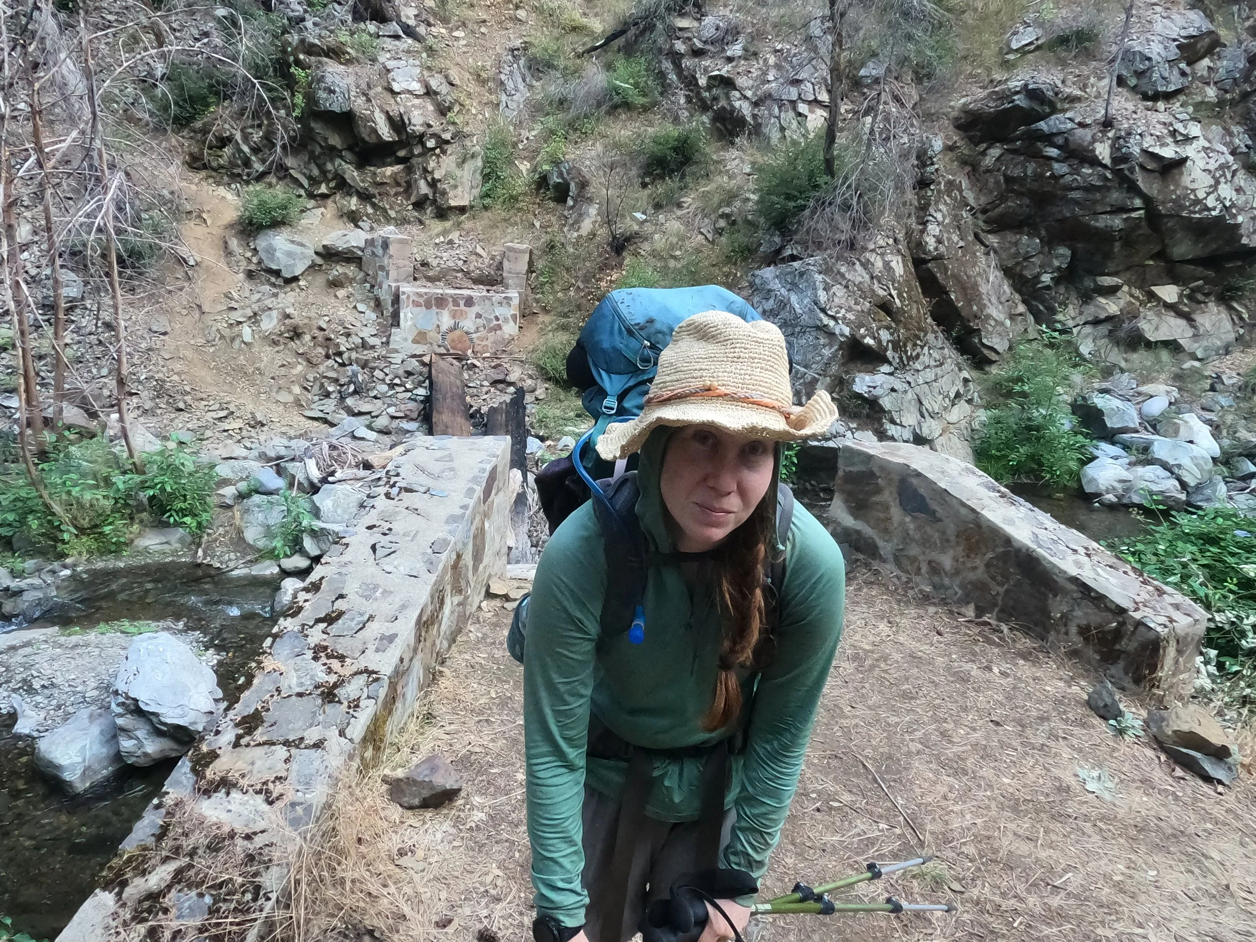
As we walked southeast along the Tuolumne river, people became more and more numerous. It was mid-week so the crowds were tempered somewhat, but still always a little bit of a shock coming out of the wilderness to a sudden surplus of fellow humans. We crossed the Tuolumne river several times on manicured bridges. This nature walk is a popular one for visitors of the park, being the PCT and one of the most picturesque sections of the park. Eventually, the sporadic stands of trees broke open in front of us and we were looking down on a wide meadow - the Tuolumne meadow. We doddled down through it, getting sidetracked in the labyrinth of smaller nature trails running about. There were couples getting engagement pictures done and children running everywhere but eventually we made our way though and reached the Tioga road - a road my dad had driven my sisters and mom up and down many times in their first RV - coincidentally named The Tioga.
Almost everything in Tuolumne meadows was closed. We had known this was going to be the case. The park had been clear that, due to the incredible snow over the winter, everything had been damaged beyond what they could repair in one season. This meant no visitor center and, more importantly, no general store which I was pretty sad about because it is one of the more notable stops along the trail. There’s nothing spectacular about it, just that it is the Tuolumne Store. We took a quick stop at the ranger station to see if I could get my mom a t-shirt. She had asked for one if the ranger station was open but we found it out of commission as well. We could have taken a shuttle down to the valley, but having both been there a number of times, we decided to skip it and move on.
We set out east and very soon came onto the junction with the John Muir Trail. The JMT is, arguably, as famous as the PCT. At 1/10th the length, it packs some of the greatest highlights of the PCT into 200 miles of it’s most famous dirt. It also gets A LOT of traffic. “Well, we won’t be lonely for the rest of California” I said to Amanda with a grin. We cruised due east through gorgeous meadows and eventually came alongside Lyell Fork. So many deer here. Like - we’ve seen our fair share of deer on this path but this was a biblical portion of deer, enough to stand out. The path up the Lyell Fork river valley is perfect in just about every way. It may be one of the most picturesque stretches we have been on so far. The grade is almost imperceptibly up and the scenery in every direction is awe inspiring. We cruised along, playing hopscotch with the JMTrs and day trippers, slowly lifting ourselves out of Tuolumne. The conditions were so good here we were hitting 4 mph in some places.
Late afternoon brought us to the doorstep of the first of the great passes. There are eight major passes on the JMT section of the PCT, of which Donnohue is the first. As we pulled ourselves out of the Lyell Fork cirque I started to understand the hype. First off - they are contrived, in the best possible way. Whenever I am outdoors I spend a lot of time looking up and off in the direction we are trying to go. I always like to know, generally, where we are and where we are going. When you look south, onto Donnohue, all you can see is the massive headwall of the Lyell Massif. There’s no discerning how you are going to get through - it’s insane, no picking out where to go. It’s a major contrast from the gentle, lazy climb up the valley below. The second characteristic that becomes very evident on the way up into Donohue is that these passes are manicured. On most passes along the PCT, you might notice a well placed stone or a convenient wooden step in places and be thankful for the volunteer that put it there. About halfway up Donnohue we encountered perfect stone steps, and not just 1 or 2 of them, several series of 50 to 100 perfect steps sculpted into the grade like climbing a staircase at home. At one point, about 25 steps in, I turned to Amanda with a look of disbelief on my face. She just shook her head, smiling.
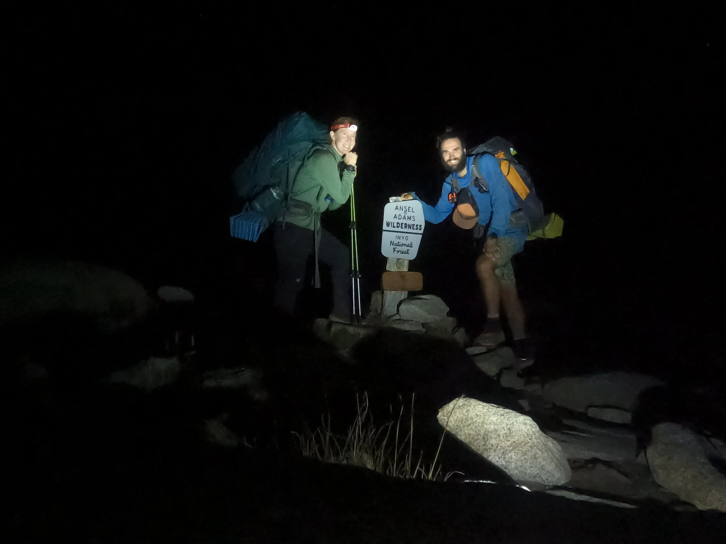
As twilight hit, we circled around the south side of a cirque with a highly instagrammable lake nestled at the bottom. It was inundated with the tents of overnighters and JMTrs. The path that had been obscured to me turned east and I could see that we were going to cross over a shoulder shooting north off Mount Lyell. We completed a huge switchback and dark set in on us as we approached Donnohue. A sign came out of the dark and we stopped to get a dark picture of ourselves exiting Yosemite. We said goodbye to the last of the great three parks in California and entered the Ansel Adams wilderness.
A German girl sprinted past us as we made our way downhill saying she had promised to meet her friends on the south side of the pass somewhere. The manicured steps of the national park were completely absent here. Instead, huge “horse steps” met us as we made our way down. I felt so bad for Amanda as she practically had to jump down off of these. Our knees and feet, tired from 9 days under too-heavy packs, were not having it and we slowed greatly. About an hour of this and Amanda was done.
We crash landed in a meadow, throwing the tent up in a clear spot. I got water from a small stream nearby but we didn’t even bother with dinner. We had to get to Red’s Meadow the next day by 5 pm where I had splurged for a hotel stay and shuttle pick up. “I know you are tired babe,” I said to Amanda “but we gotta be up in 5 hours.” All I got was silence as I packed up the last of our things. She had already passed out. I set my alarm clock for 3 as I looked up at the clear night sky, littered with brilliant white dots.

