10/5/2024
Section: Milepost 2588 to 2594.1
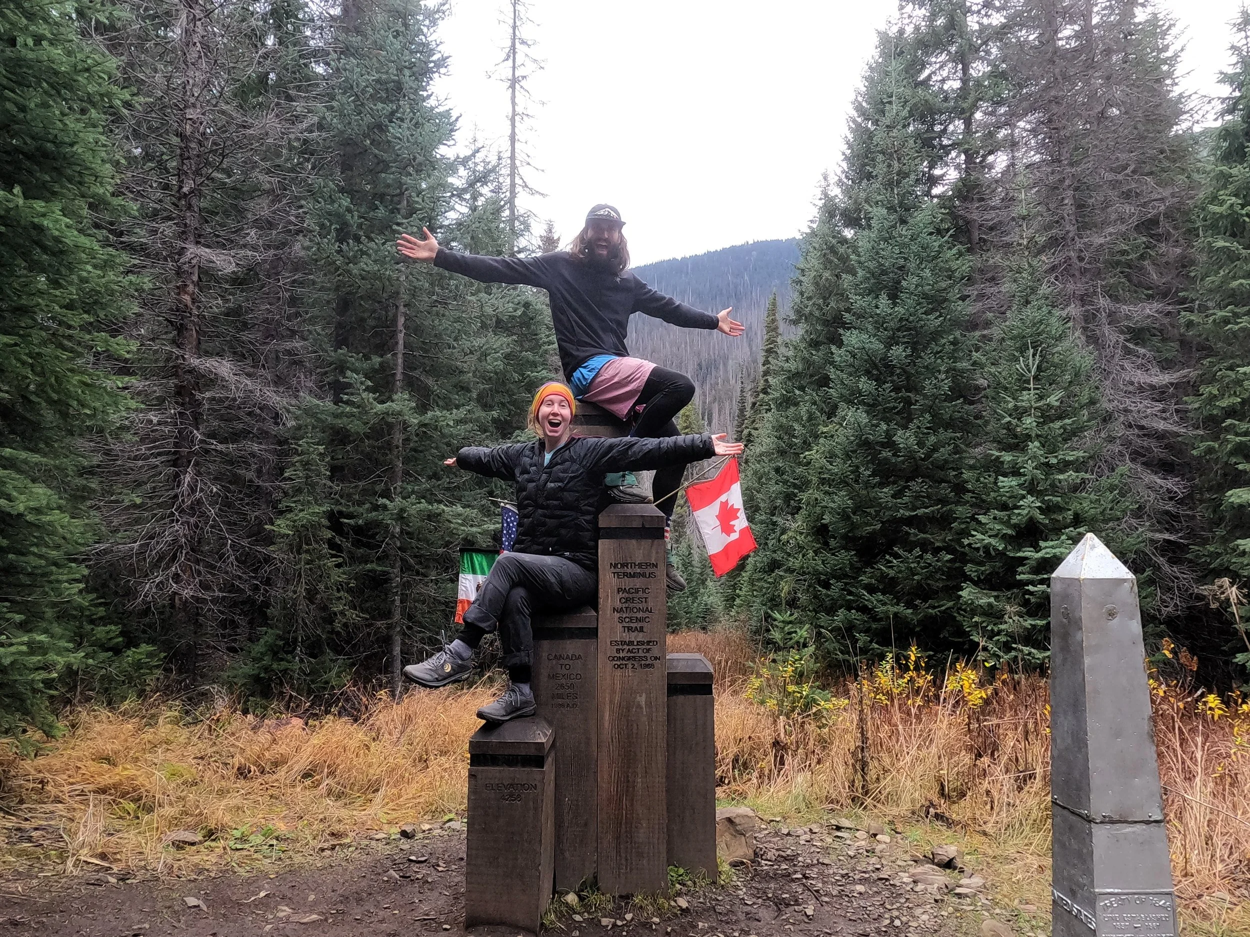
Total Trail Miles: 2661.1 Miles - all wrapped up
Distance: 5.61 Miles
Moving Time: 03:22 Hrs
Elevation Gain: 1379 Feet
Today is the day. The last puzzle piece falls in place and we can call the Pacific Crest Trail complete. One uninterrupted line from Mexico to Canada along the crest of the Sierra and Cascades.
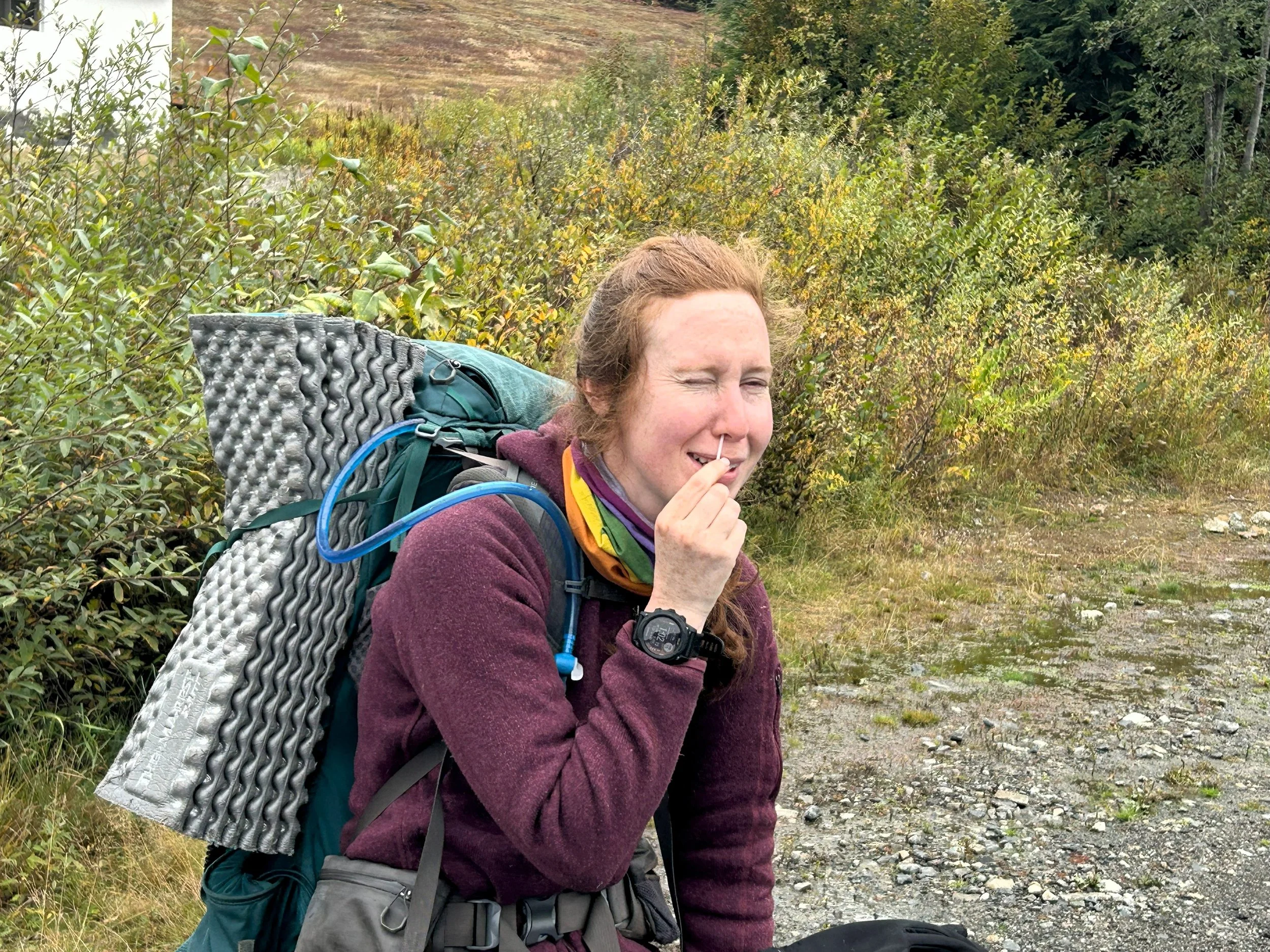
We slept in this morning. I had been able to get a signal out with the Spot to my parents at North Fork yesterday, when we were sure we could cross the creek, to come get us today. That was the good news. The bad news was that, because we don’t have a fancy In-Reach, I couldn’t actually send more than a binary message which means I could only tell them to get us on Saturday or Sunday. I couldn’t communicate exactly when on Saturday to come get us so I had pre-record the message to come get us on Saturday in the PM. My only hope was that my parents were watching and could see how close to Highway 20 we had camped last night. Otherwise, we would be sitting there for a while and with limited service in the pass, we would have to stay and wait for them until they arrived. So, given all that - we decided we didn’t need to depart all that early and slept in a little bit. Even still, we were up around 7 and underway just after 8 am. My Suunto has done incredible things with very limited battery life. For the last few days it has been surviving on single digit battery percentages and, presumably, still recording my location with the satellites.
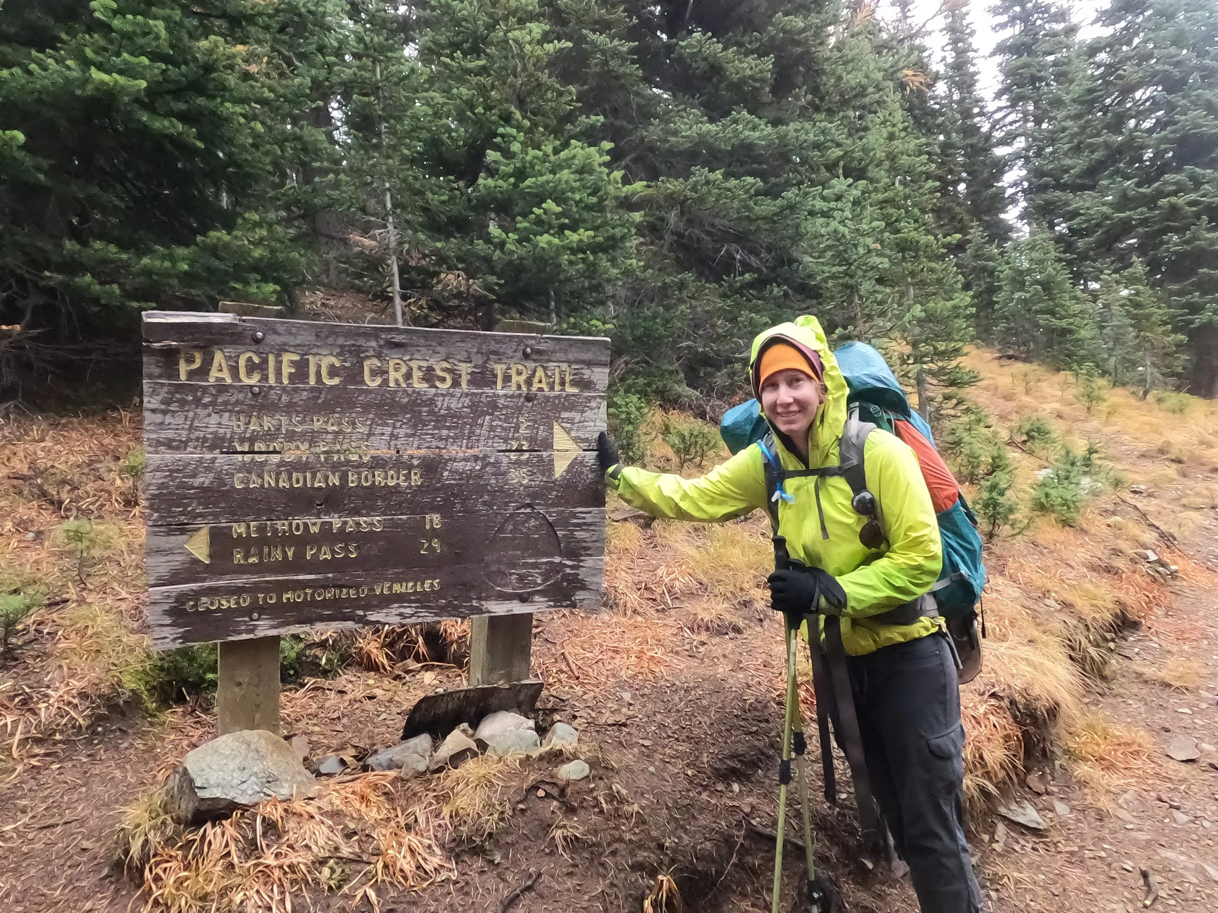
Our final stage of the PCT looks like an upside down scythe. It begins where we left off last night and heads due east, following Bridge Creek as it winds its way north, parallelling another path we followed in 2017 on a backpacking trip around Stiletto Peak. At a little over 3 miles in, the path converges with Hwy 20 and parallels it, turning briefly west before striking due north for the last half mile, where it comes to a close at the Rainy Pass trailhead.
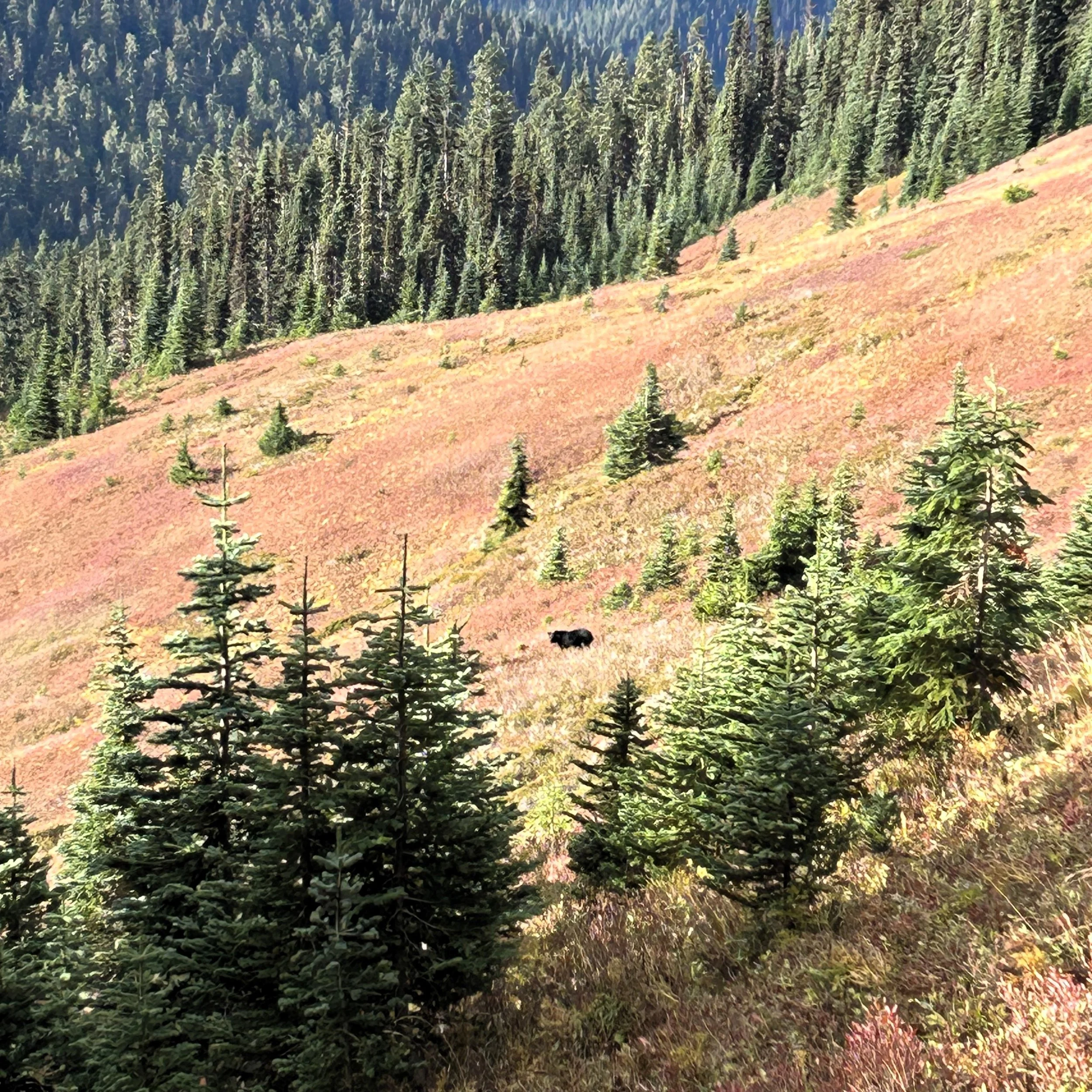
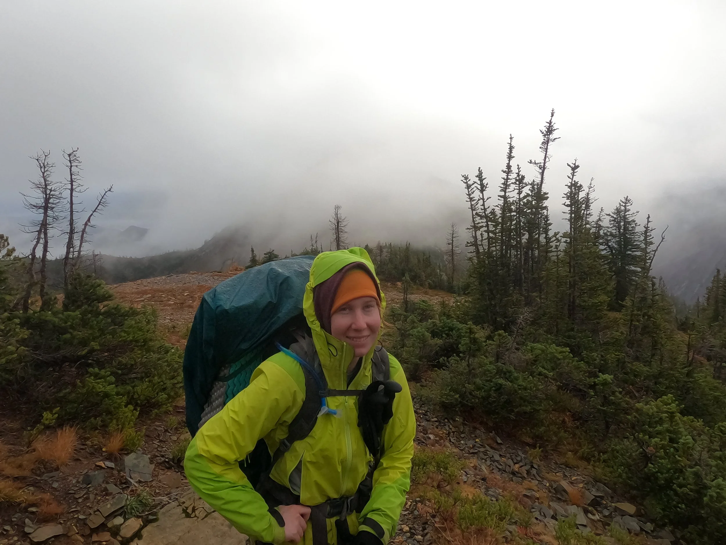
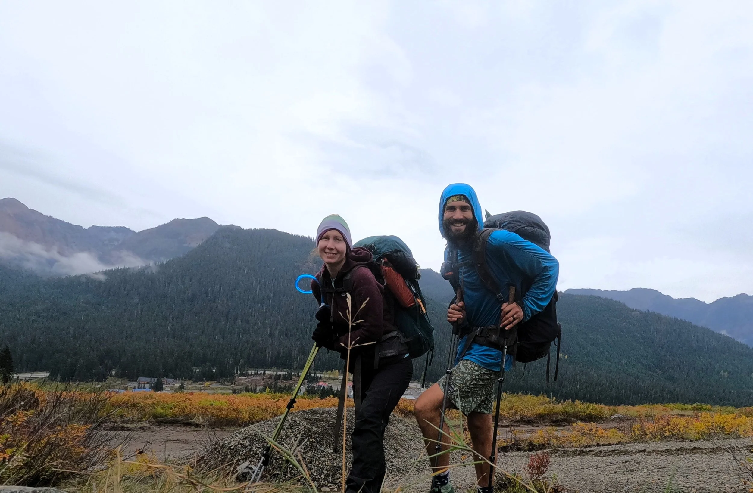
Amanda and I were cruising north by about 8:20 AM. The entire stretch today is just slightly uphill. A perfect grade to hold to a quick pace. The day was cloudy and moderately cool as we made our way along Bridge Creek. We passed the turnoff for Fireweed Camp and headed north. About 2 miles out we began encountering overnighters making their way into the backcountry. We stopped and talked to a few of them before continuing on. As we continued north, I looked to my right and was able to catch a glimpse of Stiletto Peak.
A bit further on, we started to hear the subdued roar of cars making their way up and down Rainy pass. “Getting close,” I said to Amanda, excitedly. We eventually caught sight of the road and I noticed a few cars parked along the berm. At the time I didn't think much of it, figuring people were just jumping on the trail a mile or so down as a head start. We were still a mile from the main trailhead but I thought perhaps they were just people doing Stiletto that didn’t want to park all the way back at the main trailhead. We continued on and passed out of sight of the road for a while. At the Bridge Creek trailhead I started to get a little more curious. At the turnoff we got a view of the highway and I noted cars parked all along both medians of Highway 20 as far as I could see in each direction and there were people walking the road back up towards Rainy Pass. “What’s going on?” I asked Amanda, like she had any better idea than I did. “Not sure,” she replied “maybe Rainy is closed for some reason?”
The final mile and half went by quickly as we cruised up to the Rainy Pass Trailhead. Every time I looked back at the road through a clearing in the trees I could see cars parked end-to-end up both sides of the highway. We arrived at Rainy to find it not closed but a cluster-fuck of activity. Horns, alarms, excited chatter - everything. Amanda and I looked at each other in our continued bewilderment, reiterating the question I had asked an hour before - what the hell is going on?
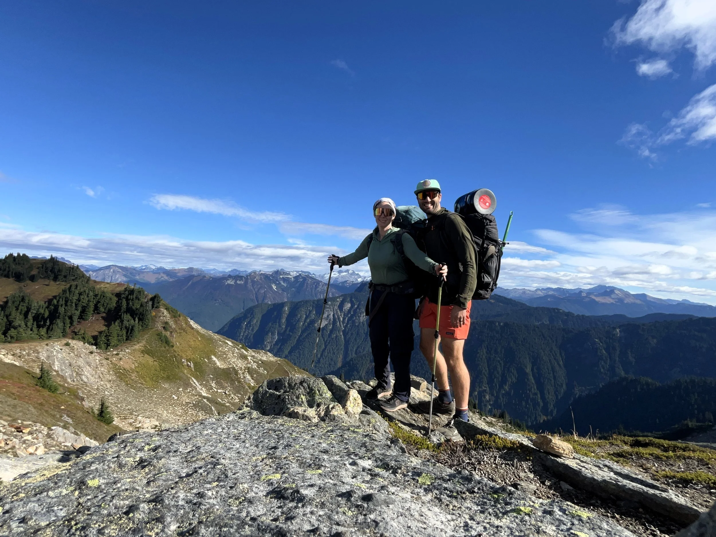
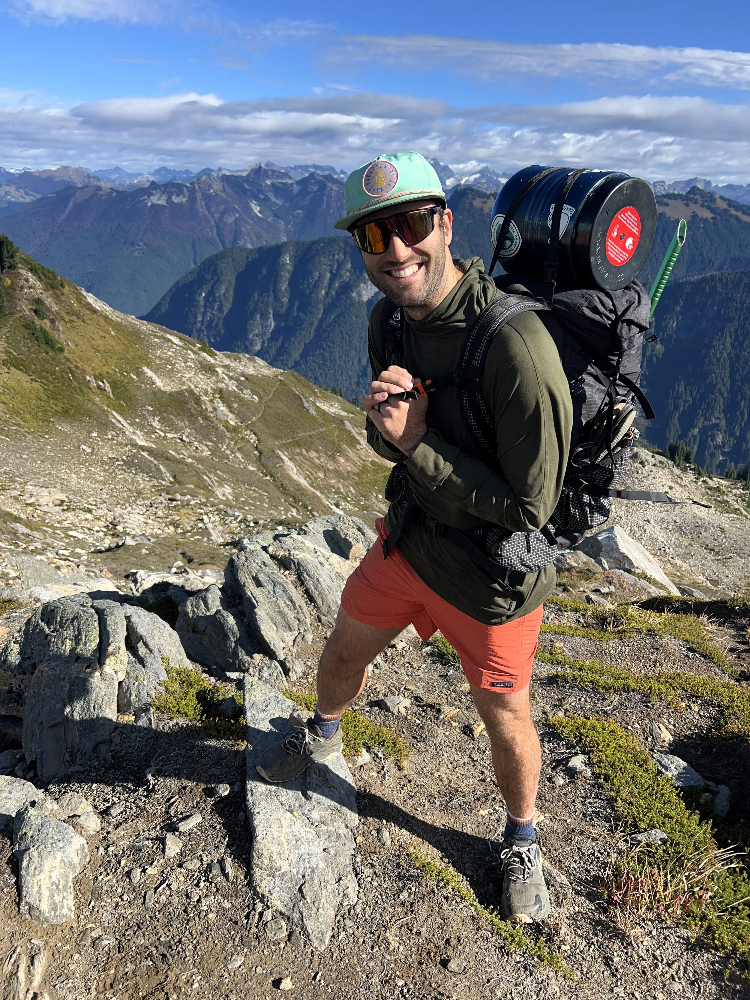
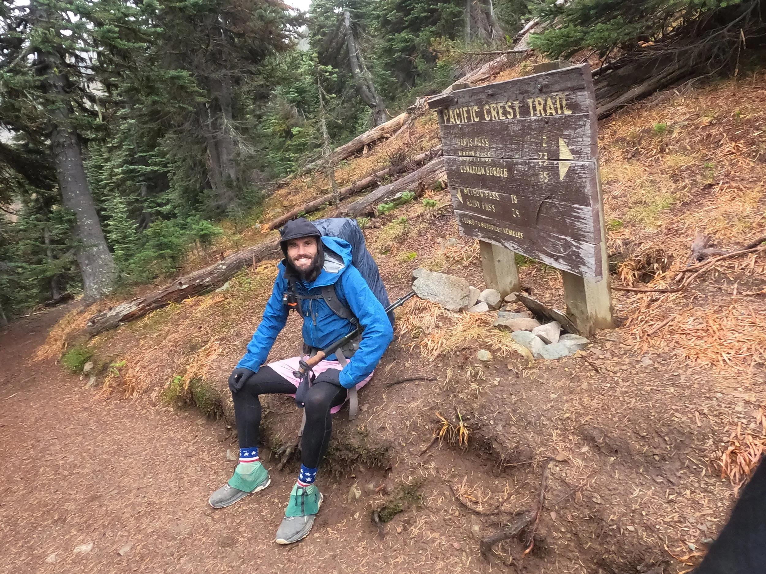
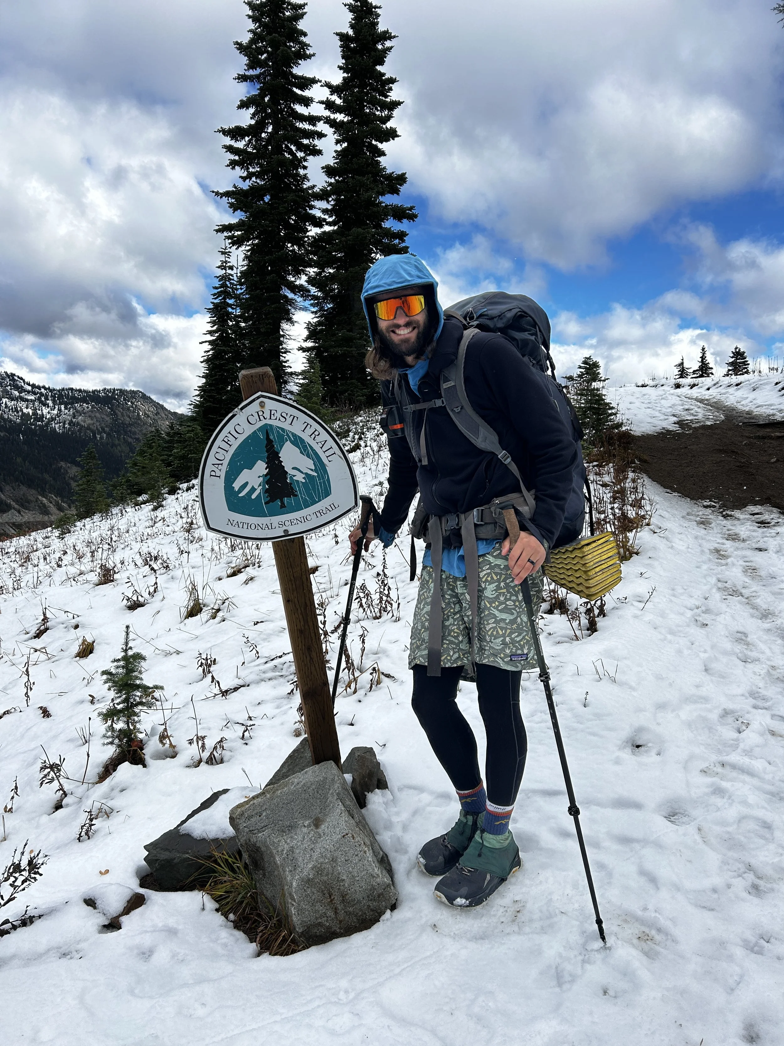
Rainy pass is a popular trailhead, for sure, but it’s on the far side of the mountains and all the times we had been to it we had never seen it more than a quarter full. We made our way to the Rainy Pass sign, wanting to get a picture of it as a pivotal mile marker of the trail. Droves of people decked out like they were in an REI ad gave us strange looks as we made our way across the parking lot, like we were the ones out of place. In front of the sign we were able to snag someone to take our picture. He happily obliged. Once he was done we asked him what was going on. A girl passing behind him that must have been part of his party chimed in with an accent that felt like it was more at home in Orange County saying “It’s the LARCHES.” Amanda and I looked at each other for a second, bewildered and then it clicked; it’s early Fall and all of the Tamaracks are turning yellow. It was the making for a natural backdrop that would make any hyperactive, King County Instagrammer uncontrollably cream themselves. Images of the I-5 exit for Mt. Vernon during the Tulip Festival and Leavenworth during the Christmas Light Parade flashed through my head. I turned to look East down the pass at the four-wheeled Seattle carnage that had choked a typically empty North Cascades highway to a standstill. “Fuuuuuuuuck” I quietly let out. Amanda turned to me “Your parents are never going to find us.”
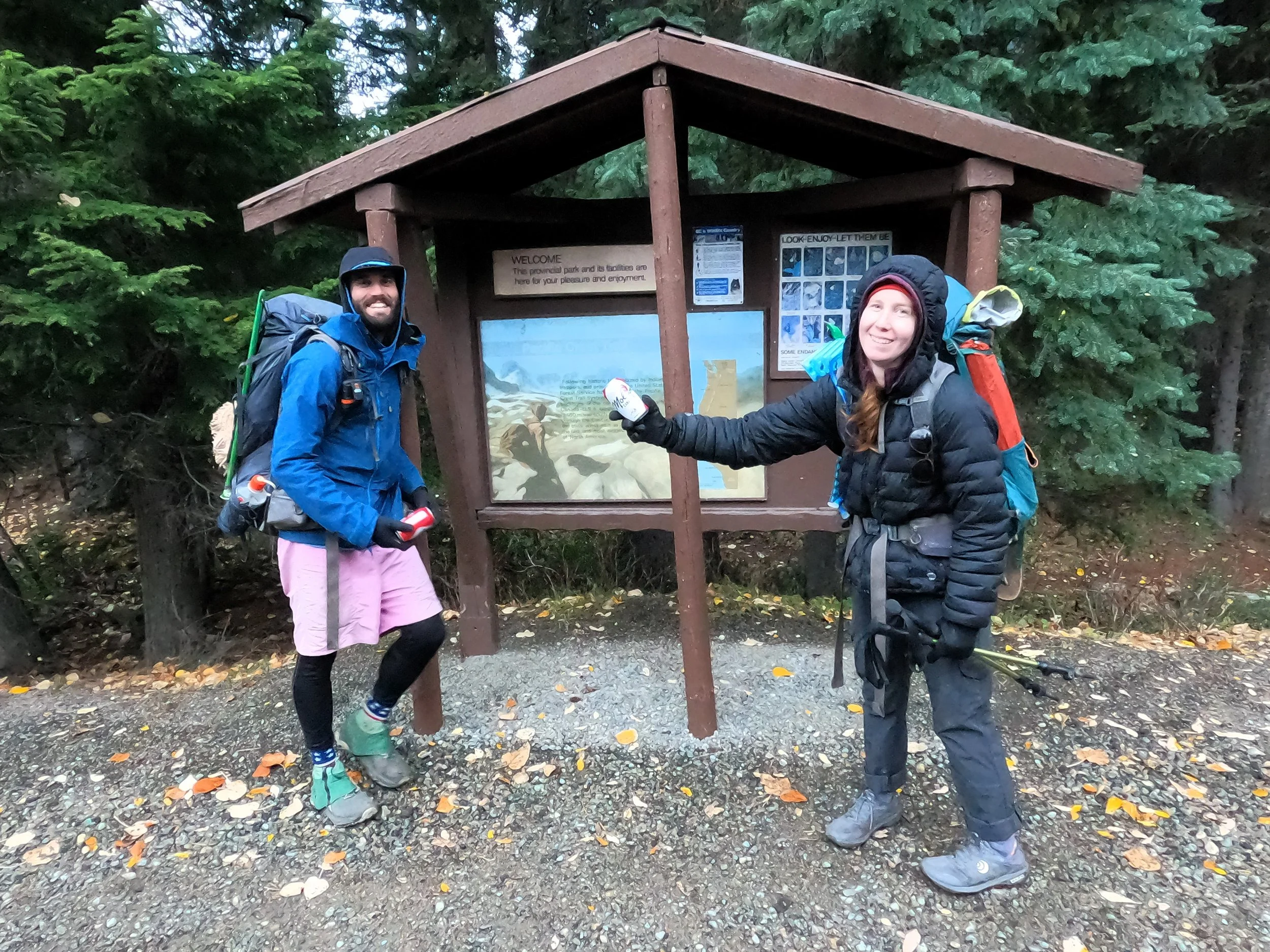
Both of our phones were dead but, honestly, that didn’t matter, we wouldn’t have had service anyway. I recalled that I had sent my mom directions to the north side of the pass, where we had left almost a year before to finish the segment north to Manning Park. I told Amadna that’s where we should wait and we were about to head that way when a kindly old man asked if we wanted some chips and gatorade. He had recognized that we were just coming off the PCT and was offering a little trail magic which, honestly, we were both in need of. He had his car parked just a few spots up the road and we walked with him to it where he opened the trunk and produced some oranges, chips and gatorade. We thanked him profusely and we talked, in wonder, about the madness all around us. “Yea, it’s crazy,” he said, “my group is doing some loop to the south but I'm not in shape to go with them so I offered to drive and stay by the car instead.” We stayed and talked to him for a while. Hundreds of people were crossing the road on both sides, some heading to the north side of the pass and others to the south. We talked to the guy for a while but I was getting anxious that my parents might be waiting or trying to find us. After a while, we said thank you to the kind gentleman and headed across the road. It was a short walk to the north trailhead. I looked at every truck and car that looked like my dad’s truck or sister’s Subaru but came up empty each time.
We arrived at the north side trailhead of Rainy around noon and sat down on the retaining wall just in front of the kiosk. “How long do you think we will have to wait,” Amanda said to me. “Honestly, I have no clue babe - could be hours if they don’t come ‘till 4.” A groan was all I got. “Hey, tell you what,” I said “we got some StarLink in our van when we were up here in June, why don’t I go see if there are any #VanLifers in the south parking lot that could let me send a message out.” I still had a little juice in my phone, just enough to get a message out to them if they were still in Bellingham to make a better plan. She agreed and laid back while I walked off down to the main parking lot. I circled for about 20 minutes without any luck. No vans seemed to have the tell-tale panels that signified the WiFi-from-anywhere I was looking for. I returned to Amanda and we hatched a plan to wait until 2 pm, at which point we would consider trying to hitch down the pass.
The good news was we only had to wait about 30 minutes before my sister’s Subaru pulled up and we let loose a cheer about the same time they did. Thank god they had decided to ditch my dad’s giant pick-up truck - it would have been brutal. I was also glad to see my sister, who had just recently moved to Bellingham, behind the wheel. I had no doubt that navigating the mess out on the pass took all of her mid-twenties patience. I gave both her and my mom huge hugs and explained to them what the mess was. “Larches?!” my Mom said “are you serious!?” Making a few heads swivel towards us. We loaded up our things, got one final picture and got into Claire’s Subaru Forester. I took one look up the trail to Manning Park, remembering the cold morning almost a year before we had set out to finish that final section. I gave a look to Amanda and we both turned our heads south, back on almost 2600 miles of trail that we had now finished between here and Mexico. The journey had finally come to a close.