10/22/2023
Section: Milepost 2619 to 2644
Total Trail Miles: 2514.7 Miles
Distance: 23.1 Miles
Moving Time: 09:42 Hrs
Elevation Gain: 4384 ft
The mice were literally cartwheeling off of the tent last night - little dipshits. They have really been part of the theme in Washington and I can’t, for the life of me, figure out why they get so bad just north of the Columbia. Sandy had reloaded us with granola when they picked us up at Stevens pass so we were flush with the breakfast yummies, which lifted the generally soggy mood we woke up in. It had also poured last night - hard enough that mud was speckled on the underside of the tent rainfly. We were packed and fed before the sun was up and were underway just after first light, around 7:30.
The day’s stage starts where it left off, under the watchful bulk of Syncline Mountain and continues it’s traverse north along the ridgeline, passing below Tatie Peak as it windes east and eventually back north around Cane Mountain. At 3.5 miles, the path passes through the Brown Bear trailhead, which is the first sign of Hart’s Pass, which the stage eventually reaches 2 miles later after circumventing Hart’s Peak. From the pass, the trail ascends 700 feet and traverses northwest along Slate Peak Ridge, reaching Buffalo Pass at just under 10 miles. The path continues due northwest, descending to Windy Pass and then making a short climb over a prominent shoulder of Tamarack Peak. The trail descends a mile to Foggy Pass before meandering northwards through Jim Pass and around the Oregon Basin. At 16 miles, the PCT makes a short descent to Shaw Creek and then commits to a long descent down to Holman’s Creek. After the creek, the PCT then makes a steep ascent, 3 miles and 1500’, to Rock Pass before dropping and regaining 500 feet and ending just before Woody pass.
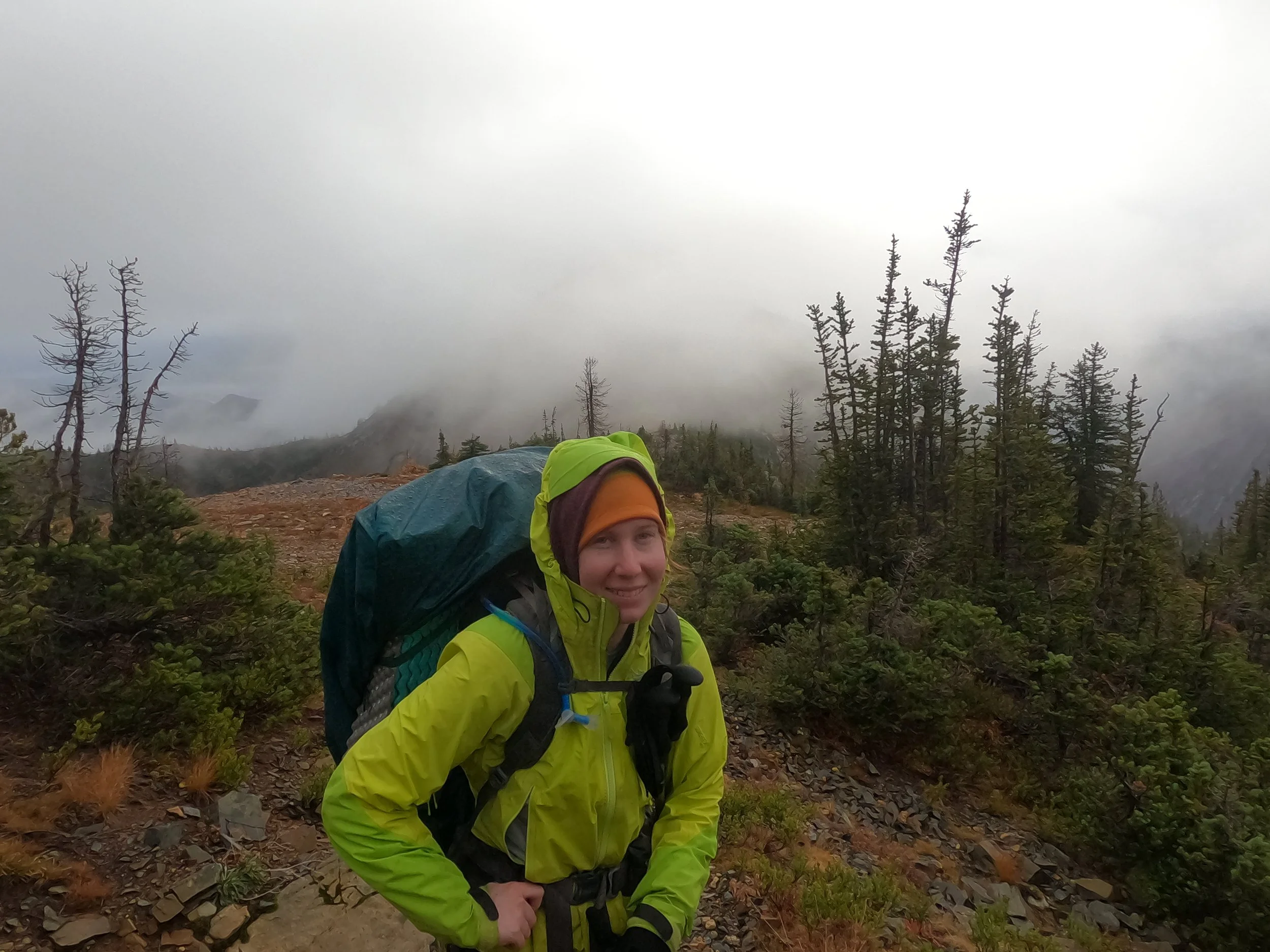
The day looked like it was going to be highly variable as we started out in the early morning light. Definitely one of those days where the jacket goes off and on many times throughout. It started raining just after we began and we quickly shifted into our rain gear. About an hour in, the rain shifted to snow and then, about 30 minutes beyond that, we were treated for some sunshine.
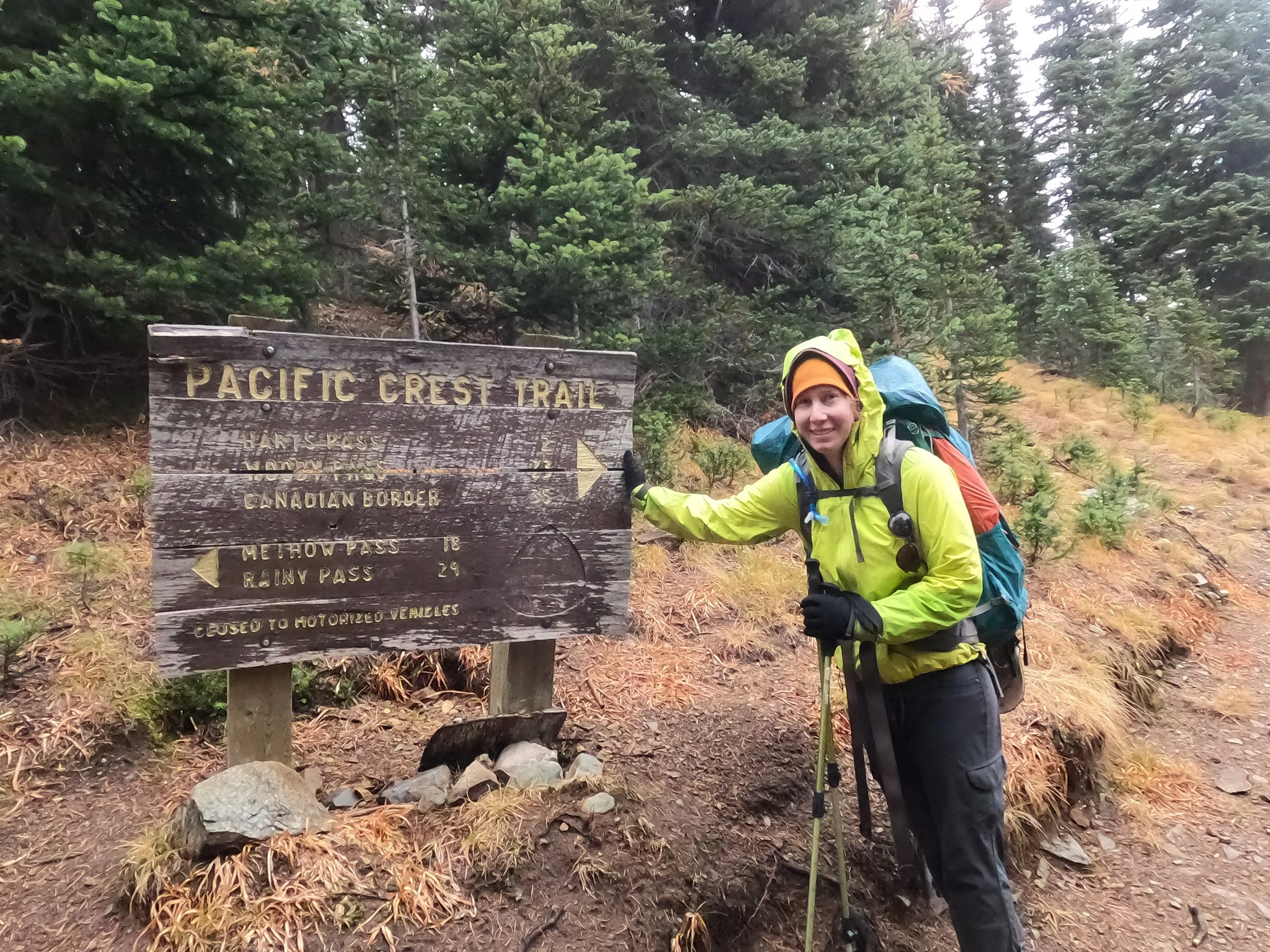
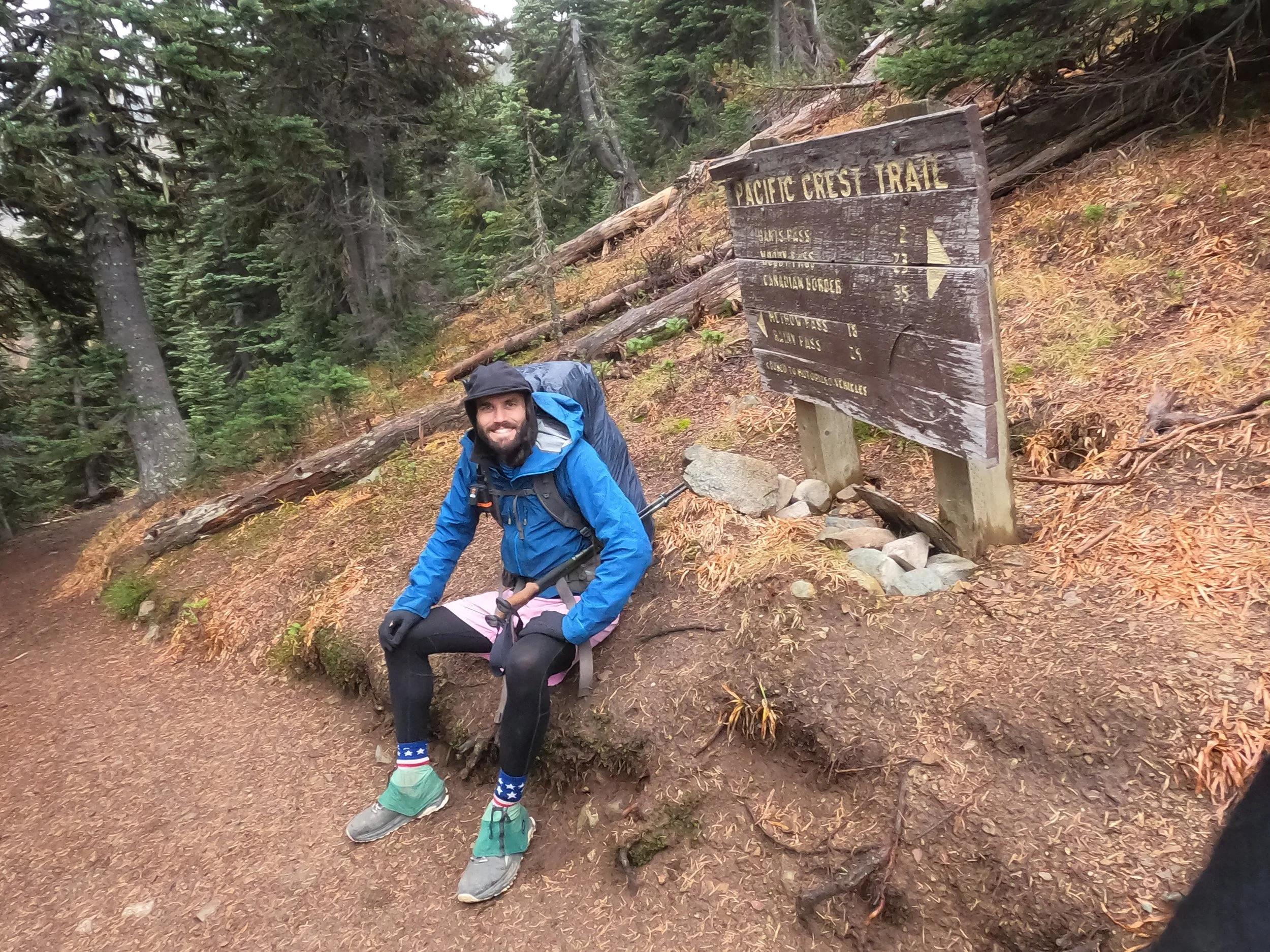
We reached Hart’s Pass around 9:30 am and stopped for some pictures. We had come here in 2014 to do a 4-day loop around Buckskin Ridge and we were back now finishing our epic walk from Mexico to Canada. Lots of incredible memories from this part of the North Cascades. It was amazing to retrace some steps we took almost 10 years before. After a quick break and a bite to eat, we departed, making a short climb out of Hart’s Pass. We ran into 2 guys, a German and an American, coming back from the border and congratulated them on their accomplishment. They told us the trail ahead was clear and we shouldn’t have any trouble. This year, because of the late lifting of COVID regulations that temporarily blocked PCT hikers from passing into Canada, a lot of our compatriots are making what is known as the “Victory Lap” back from Canada. Basically, it's the last 30 miles from the border back to Hart’s pass, high fiving everyone all the way. We had plans and permits to go into Canada but we had heard it was actually kinda fun to do the 30 miles back and see everyone behind you.
We continued on from Hart’s pass. Heavy snow began to fall on us as we made our way northwards. At one point, I saved my 4th balloon on the trail. Really sad to think that many of these things probably land all over our public lands, but I save the ones I can whenever i swee them! Bonus - saw a lil’ grouse shortly after. Love these little mountain chickens! As we traversed further along the Slate Peak Ridge, we ran into a group of trailrunners coming back through the snow and gave them a “Hello.” They smiled and kept going. Must be nice to get back to a warm car, cold beer and a roof over your head at the end of the day.
We walked on and on. We aren’t really taking breaks any more. It’s kind of like the last 50-100 yards of a long race where you have a little energy left and you just burn it to sprint to the finish line. That’s where we’re at
Towards the late afternoon, we descended to Holman Creek and began the long climb up to Rock Pass, reaching it just before sunset. We made a quick stop to top up our calorie reserves before the last small section to our camp spot just before Woody Pass. Shortly after, we descended down Rocky Pass which would have been very spicy in the snow. Definitely some exposure and traversing above bad substantial cliff faces which you eventually pass back below at the bottom of the descent. By this time, the sun had set and we began our climb back up to Woody Pass. We crawled up a few switchbacks and found our target campsite among a few small, shallow basins and some patchy tree copse.
It was cold and windy as we set-up the tent. We made dinner and ate quickly. It was already below freezing with the sun now down below the horizon. It’s quickly transitioning to wintery conditions. After dinner, we haphazardly cleaned up, keeping in mind the varmots that had already taken a few charges at us. After a hasty dinner and a quick peek up at the stars, we got into the tent and out of the wind. Once inside I did some typing while Amanda did some reading and we both listened to the wind above us, occasionally buffeting the sides of the tent. Shortly after, we were both passed out, willfully ignorant of the sounds of little pawprints trying to get to our stuff.


