10/1/2024
Section: Milepost 2518.4 to 2534.2
Total Trail Miles: 2601.2 Miles
Distance: 15.66 Miles
Moving Time: 06:22 Hrs
Elevation Gain: 4187 Feet
Along the 2600 miles of the PCT there are many low points as well as days of incredible elevation gain and loss. Today was one of those notorious days. We knew it was coming. Everyone talks about the incredible highs of the Sierra but one “low” in particular gets a lot of attention and that is Milk Creek in the Glacier Peak Wilderness. I recall looking at the elevation trends on Gaia in January of 2023. I had the whole thing just about totally plotted out at that time and I remember scanning from the deserts of southern California all the way up to the Pasayten and I distinctly remember seeing this insane elevation profile one day. A day where you drop waaaaaay down only to climb straight back out of the pit. Today…was… that…. day. It has such a stupid name too - Milk Creek? Like, couldn’t have given it a better name?
In any case, we got another slow start in the early hours of what was another gorgeous day. I don’t know - it’s Fall and maybe our ancient human roots are telling us it’s time to hibernate. Whatever the case, we were up, packed, fed and caffeinated by 8:30, on the trail headed west.
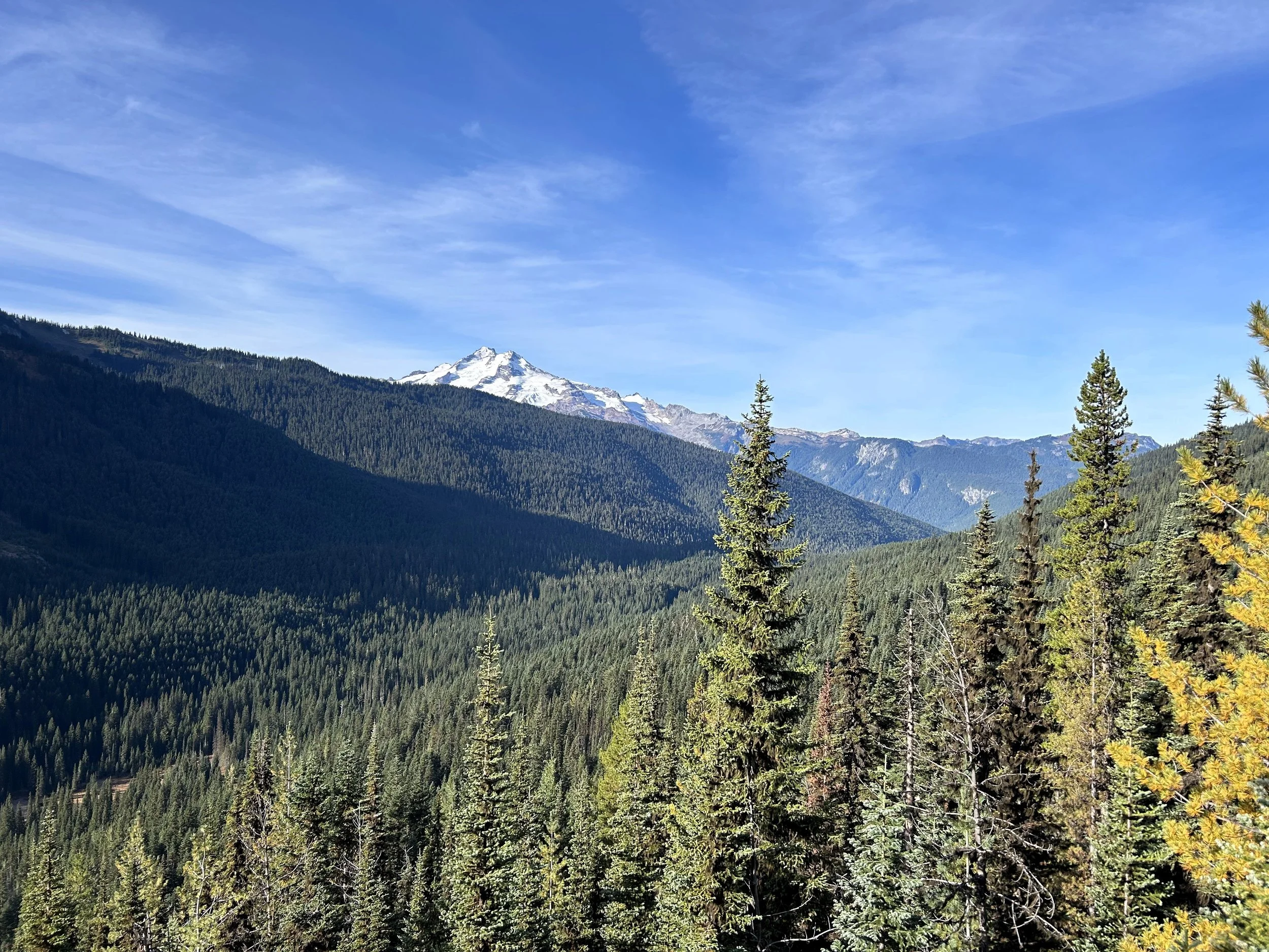
The path starts today headed away from Glacier peak. An arm sticks off the northwest side of the mountain that creates a challenge to get around and so the path starts heading west to circumnavigate this feature, the Milk Lake Glacier arm. It soon turns north, descends to Fire Creek Pass and then engages in a 1000 foot climb which achieves the high point of the day above Mica Lake. From this point, the trail descends to Mica Lake and then begins what many consider the most epic descent on the entire PCT. The trail drops 3000 feet in 6 miles - all the way to Milk Creek at 3200 feet, only to then cross a sad little bridge and immediately climb nearly 3000 feet back up to the East Fork Milk Creek Cirque which it slings its way around to the adjacent Dolly Creek Cirque. Here the stage ends on the extreme north side of Glacier Peak.
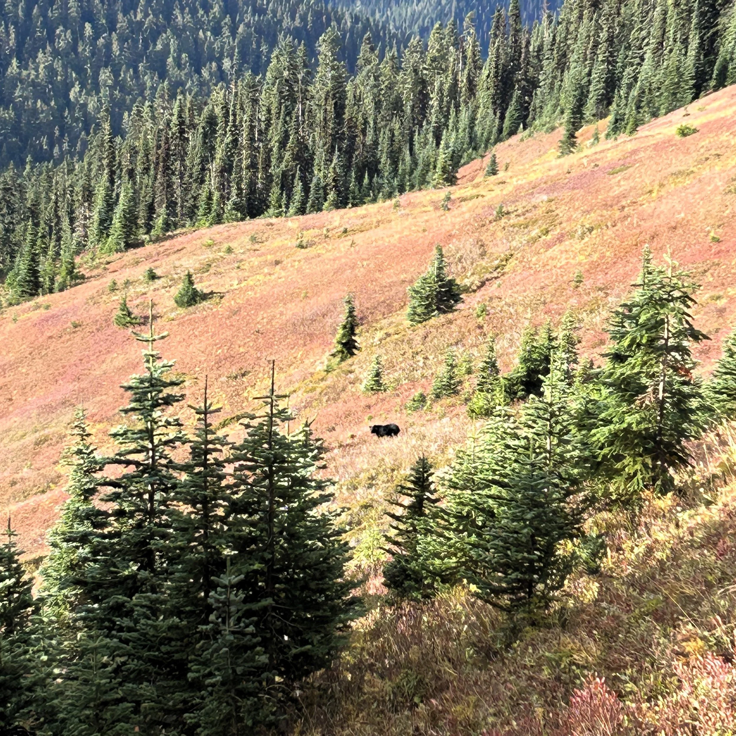
We plodded west, again, dipping in and out of little drainages as we made our way around the Milk Creek arm of Glacier Peak. It was slow going - lots of little ups and downs that are not conducive to making good time. We overcame a little rise and committed to a short descent. As we did so, I took a moment to look across another drainage that we were about to enter into and noticed a stark, black shape against the green backdrop of the opposing ridge. “Amanda,” I said, pointing across the little drainage. It took her a second before she replied “Oh! A Bear!” “I think so,” I replied. Sure enough, as we stood and watched, the little black shape began to move across the ridge. We could see the trail about 30 yards above him and so continued on.
We wound around the little drainage and quickly closed the quarter mile to arrive above the shape which I had immediately named Oscar II. Side note, seven years ago Amanda and I completed the Copper Ridge Loop off of the Mt. Baker Highway and had come very nearly face to face with a little black bear, which we had called Oscar. Now this, much bigger black bear, I decided to call Oscar II. I completely recognize this isn’t that original but i like that name for a bear and it stuck, okay? We eventually got to a point where we were about 20 yards from Oscar II. We talked the entire way to make sure he knew we were there but he still didn’t recognize our presence until we were pretty close to him. He turned to look at us as we stopped to look at him. I got my iPhone out and turned it on. I had no way to recharge it but, hey, this was totally worth the risk of running out of battery. I snapped a few pictures before Oscar II decided we were too much of a threat to stick around and began running down the ridge away from us. Someone told me once that bears can’t run downhill - let me tell you right now, that is total bullshit. They run very fast downhill.
We watched Oscar II for a while until he disappeared into a copse of trees. He had such a shiny black coat we could pick him out for a long time. After he was gone, we turned and continued our traverse around the Milk Glacier Arm. 160 days of walking last year and we had never seen a bear. As Amy Lu had so eloquently put it, we were always “bear adjacent” but never actually saw one. Well, one year later and 2600 miles into our hike that had changed, we had finally seen one. I mean, we have both seen bears in our lives - many bears - but hiking 2650 miles, you expect to see at least one!
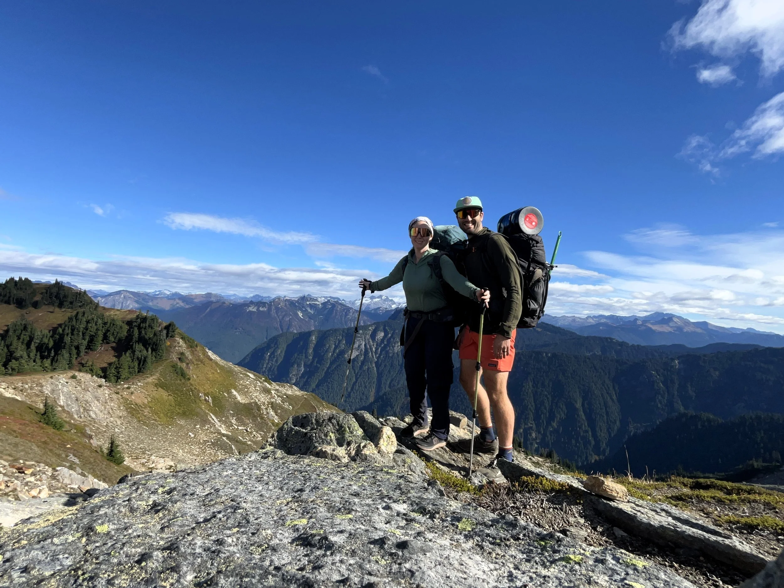
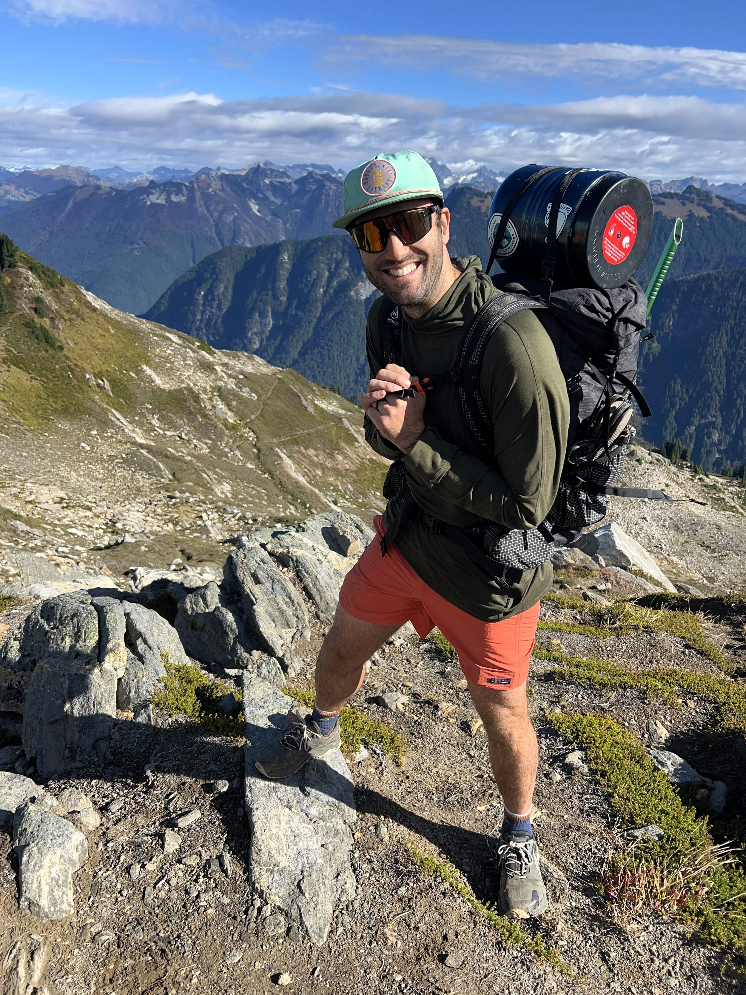
From our bear sighting we climbed 1000 feet to the top of the Milk Glacier Arm. We reached a broad saddle and stopped to take it all in. Way to the north we could see the impressive Dome Peak Massive and its Chickamin Glacier. We ate a little and I wrangled Amanda into a few selfies with the grand vista behind us. After, we descended to Mica Lake - a gorgeous jewel nestled in a small cirque. We stopped again at the lake, just trying to put off what we knew would be a pretty terrible descent below us. I put down some more chocolate trail mix from WINCO but we didn’t dally long.
After the lake, the trail went down…and down… and down. It seemed to go on forever. I don’t know what it is about the way these sections of the Cascades were formed but they just seem to have some really deep cuts and this is one of those. On we went down. In the beginning it was clear, and the trail was nice, soft and spongy but, as we dropped lower, the trees started to give way to patches of slide alder. The weather also started to degrade. Clouds that had been forming far off now moved in and the sun had a harder and harder time getting through to us. As we continued on, the avy chutes covered in alder became more common and thick. We fought on, cutting through severely overgrown trail. Just when I couldn’t take it anymore, the bridge across Milk Creek came into sight. We descended for another 30 minutes but eventually reached it. Once there we stopped and threw down our packs - completely exhausted.
We hung out on the bridge for quite a while relaxing after our downhill battle. We weren’t really paying attention to anything besides our tired legs so, it was a little startling when a middle aged guy showed up and crossed the bridge. “Hello,” I said, mouth full of Cliff Bar. “Hello” he answered back in a vaguely Eastern European accent. He introduced himself as Dave from Prague and told us that he was a forest ranger back in the Czech Republic which gave him time in the Fall and Spring to come do sections of long trails like this one. He had been in the Sierra earlier this year and last year and we commiserated with him for a while about the massive snowpack from 2023.
We talked for a little longer but eventually, Amanda and I knew that we had to get going or we were not going to get up to the top of the opposing ridge before sunset. I didn’t really have a campsite picked out, I just knew we were going to stop “somewhere up there.” We said goodbye to Dave as he began up the opposite side we had just come down. He was thinking of staying at Mica Lake this evening which, if i’m being honest, i’m a little jealous of. We got underway and, annoyingly, seemed to drop a little more elevation after the bridge, but soon we were headed back uphill. We climbed, fighting through more avy chutes and eventually passed a cut-off for the Milk Creek Trail. It’s possible that, here at the Milk Creek Trail, we are in the midst of one of the most desolate places along the PCT. Like, no joke, it’s a loooong way to anywhere from here. The Milk Creek trail would take us out to a parking lot that is way off the Mountain Loop Highway, which is a ways off from Darrington which is even farther from I-5. The Glacier Peak wilderness is no joke - definitely makes the so-called “Desolation Wilderness” feel ashamed of its name.
We climbed up and eventually got out of the horrid avy chutes. I hate slide alder. It’s always funny to see them all grown up as big trees, but as little saplings they are really annoying. They make keeping a trail clear almost impossible. As we cleared the last patch, the rain started coming down. We ducked into the shade of a grown up alder and got our rain gear on. An hour or so more brought us to the last 10 switchbacks. Amanda was running out of energy so we counted out the number of switchbacks we had left and counted them out loud as we rounded out the last of them.
Ten switchbacks brought us to the top of the ridge and we threw our hands up in celebration. We were tired, it was raining and we were ready to be done…which brought us to our little problem. We had no water and we were now back above the treeline. It is always ironic to me when we have to search for water in the midst of a rainstorm but, indeed, that’s where we were. As we continued to progress up and down along an unnamed, northern ridgeline of Glacier Peak I scoped out the water in front of us. There were good camping spots on this ridge, but no water and we were out. We had decided that the climb out of Milk Lake was bad enough and we didn’t need to add 4-5 pounds of water to that ascent so we had carried on.
The next water was at the East Fork Milk Creek cirque. We arrived at the first drainage in heavy rain which was also blowing sideways. I told Amanda to continue on while I stopped to fill bladders. I caught up to her about 10 minutes later, cold but continuing on down the trail. We looked everywhere as we continued to sling ourselves around the cirque but every potential spot looked very exposed and miserable to spend a night in, so we continued on. Eventually, we left the cirque behind and climbed onto another ridge adjacent to the cirque. I knew another large descent was just ahead of us down to Vista Creek, but we were in no shape to take it on tonight. Hurriedly, I flipped on my phone and saw that there was supposed to be a very nice campsite just below us. “How much further,” Amanda groaned. “I think we have something just a few hundred feet beyond,” I replied half heartedly. Honestly, I had no reason to believe it would be any better than the other places we had seen - very exposed, very wet and downright awful, but I hoped it would be better.
We descended a little towards the treeline and, blessings from on high, a sturdy copse of trees came into sight off the side of the trail with a beautiful flat and dry pad for a tent, sheltered from the now blowing rain. “Oh thank god,” Amanda and I said in unison. We dove into the trees and quickly got things set up, taking care to keep everything as dry as possible. We could see the wind whipping by outside the little stand of trees and said another thank you for this little haven from the storm. I put the guide-lines out on the tent, though it probably wasn’t necessary given the shelter the trees were providing, and made dinner while Amanda got things organized in the tent. We ate inside - the hot food revitalized us quite a bit. Afterwards, I made a half-assed attempt to get the bear cans away from the tent before returning to dive inside. Once inside, we relished our wonderful little shelter and cuddled till we fell asleep, listening to the wind howl over top of us.


