7/14/2023
Section: Milepost 2124.0 to 2104.7
Total Trail Miles: 834.6
Distance: 19.77 Miles
Moving Time: 08:46 hrs
Elevation Gain: 4,409 ft
Click here for current location

I’ve lived with a good view of Mt. Hood for much of my life, but today’s views were absolutely stunning. Of all the volcanoes, Hood has the most “Matterhorn-ish” look. Avoiding the more typical “flat-dome top,” Mt. Hood shoots into the sky in stark contrast to its northern neighbors like Adam’s, Rainier or Baker. It’s a beautiful mountain that I never miss an opportunity to gaze at.
Today’s route starts in the shadow of Devil’s pulpit and passes between Lost and Bull Run Lake. Lost Lake is one of my sister, Katie’s, favorite lakes for kayaking and I totally get it - very nice, quiet lake for an afternoon out. Shortly after the lake the trail drops to Lolo Pass Road where the day hikers get much more common. The trail climbs from Lolo Pass road to the Top Spure Campground before zigging west and zagging back east to the flanks of Mt. Hood. Here, the PCT crosses over a number of dependable, glacier fed streams, sometimes dipping down into old moraine to cross them. The stage ends at Lady Creek, where a nice campground stands surrounded by a number of small glacial streams.
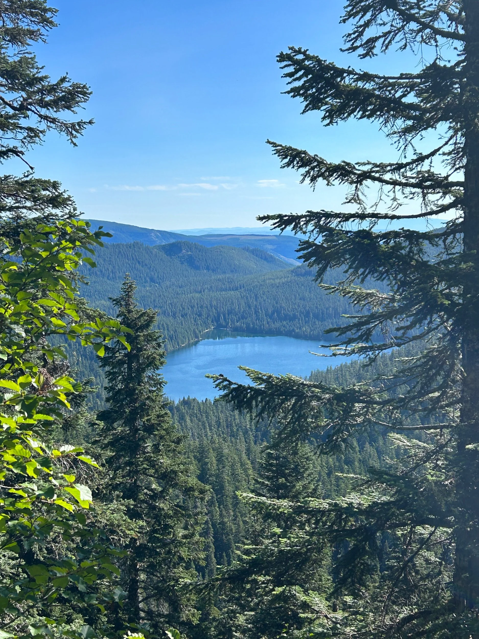
Amanda and I started a little late today. Oregon definitely has a more laid-back feel on the PCT as opposed to the first 800 miles. There’s also no big push to get started super earlier. No more hot desert days or slushy snow to try to avoid with the early hours of the day. So we started closer to 8 am, which is one of our later starts. The grade to begin was nice and slightly down, but there was lots of blow-down to contend with, which slowed us down. The logs always seem to be at the worst height for Amanda. Not long after, we came into views of Lost Lake which I took a picture of for Katie. I was cycling in and out of 1 bar of LTE service from Verizon, so the picture never actually went off. The trail wound down to Lolo pass road and as we went we were barked and growled at by 2 sets of dogs. “It’s a rescuuuuuueee” Amanda and I each quipped with each other as the groups moved past us.
Once at the road, we began the long climb up and out of Lolo pass road. So…many…switchbacks. Oregon isn’t particularly hot yet, but it is muggy and the Mosquitos were an absolute menace at times. From the top of the climb out of Lolo the trail turned southeast and then southwest and descended again. I’m remembering now - lots of up and down in the cascades, especially when circumventing one of the volcanoes - there are no small amount of glacial ridges that have to be gone over.
At the bottom of the descent we were delivered to an older moraine which now had lots of foliage growing in it. From here the big climb of the day began - almost 3000 feet in the last 7 miles of the stage. We trudged on in silence for several hours, occasionally catching beautiful views of Mt. Hood and south to Mt. Jefferson and the sisters. At the top, we reached Lost Creek, which sported a beautiful tent site, so we decided to stop a mile early and enjoy the evening. It was 8 o’clock at that point, and the distance had taken most of the day. Things slow down a bit when most of the stage is a climb. We made dinner - ramen - and Amanda turned in early while I cleaned things up and filtered water. We now have a new CNOC filter bag that I can hang and let gravity do the work overnight through the Sawyer, so that is excellent. My sleeping bag smells like hell - hoping we can take the time to wash them in Bend!

