6/25/2023
Section: Milepost 558.5 to 578.1
Distance: 33.35 Miles
Moving Time: 11:577 hrs
Elevation Gain: 7,086 ft
Click here for current location

Wow, today was an adventure - not really the kind you wish for, but one none-the-less. For context, almost every hiker on the trail has some sort of GPS beacon. Most use the Garmin In-Reach Mini, but some of us are still kicking around with the Spot we have had since 2015 and that works just fine - when it is actually on your person. The idea of these little things is that you can share your location - kinda like the FindMyIphone app but distributed to a wider audience. Anyone who has clicked the “Click Here for Current Location” link I share above has seen the location as reported by my little Spot locator. The devices also have a nice SOS button you can click to have someone come get you in a helicopter which, thank god, Amanda and myself have never had to use. Anyway, today is the story of how I lost… and regained that little beacon.
We woke around 6:30 and started moving. The town day yesterday had been one of our more organized and the tidyness of our bags reflected that. At 7 we went down for some breakfast and all of the old people stared at us for the second day in a row. We aren’t that disheveled but there’s also not much going on in Tehachapi. After breakfast we went back up to the room. I attempted to organize an Uber without luck and we started calling down the list of trail angels we had snapped a picture of at the trailhead. On the second try someone picked up and an elderly lady on the other end said she would be delighted to come pick us up.
At around 8:15, a lovely woman arrived at the lobby of the Best Western and we loaded our things into her car before she drove 20 minutes back out to the Willow Springs Road trailhead, telling us all about her grandchildren on the way. At the trailhead I gave her 10 dollars and we unloaded our backpacks. We waved goodbye as she rolled out of the parking lot and, just like that, we were back on the trail.
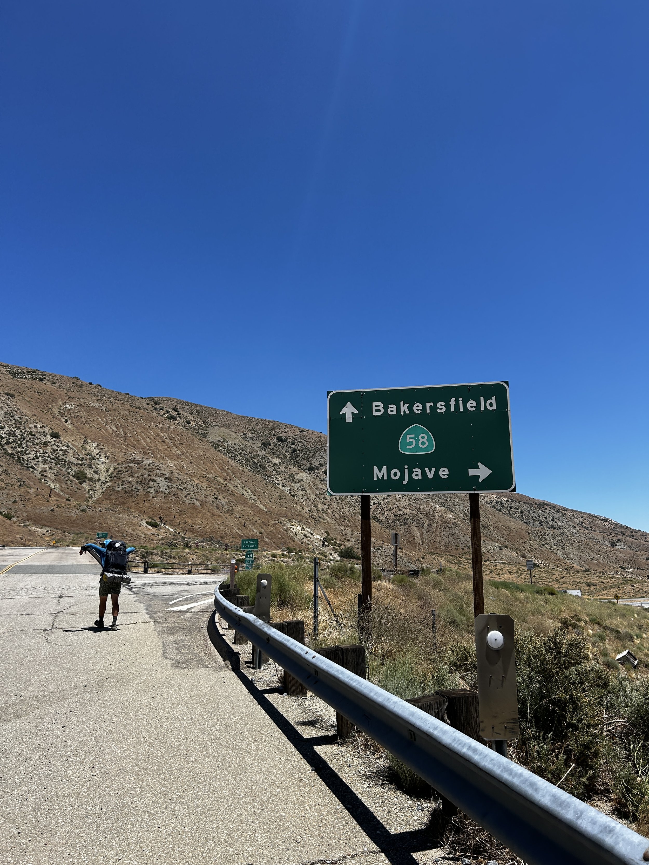
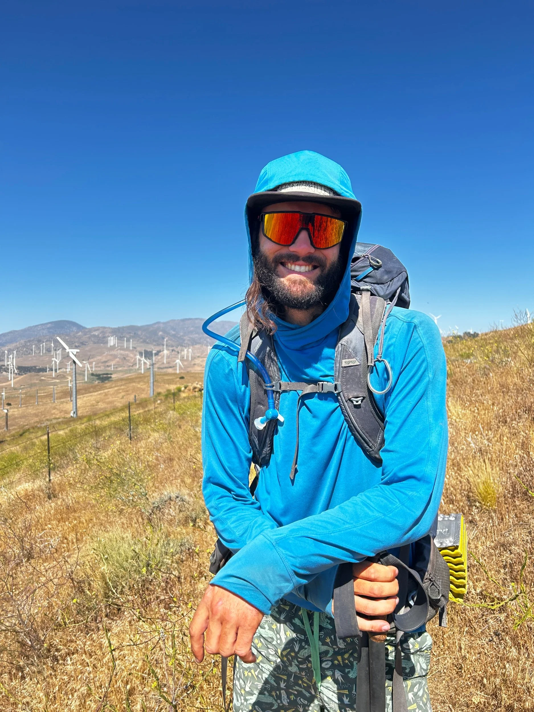
From Willow Springs road, the PCT heads northeast, rising slowly up through the hundreds of surrounding turbines. The Boy Scouts manage the trail in this area and, have to say, they do a great job. The trail crested a few miles along and then started a long wind down to highway 58. Along the way, we hopscotched with the Czech and Slav pare Sam and Alesh as the trail switchbacks down to the highway. At the bottom we found a smiling woman in front of her Subaru offering drinks and fruit. She had just dropped her husband, Wildfire, off at the trailhead and saw us coming down so decided to offer a little trail magic. We thanked her profusely and I enjoyed a cold Pacifico while Amanda had a soda. We talked with her for a while before she departed, giving myself and the other guys another beer for the road.
After the switchbacks, the trail follows Cameron Road to highway 58 where it crosses the highway and comes to a water cache. Here the four of us refilled our water bladders and topped up our water bottles. It was another 20 miles to the next water… a phenomena that will not be a problem in a few more stages but will also not be missed as a facet of the desert. From the cache, we left the 2 guys who were going to take a lunch break and started down the trail. From the road the PCT stayed relatively flat for about 2 miles, paralleling the highway before turning north and up to climb into the Tehachapi mountains. The day was warm, though still much cooler than it should have been this time of year. Amanda and I began methodically climbing the switchbacks for about 1000 feet before taking a break under some Joshua trees. From the trees the grade lessened some and the trail proceeded in a more direct manner up a ridge before winding between some local hilltops. The wind was crazy which is why I may have done a quick check on my backpack to find, to my horror, an empty holster where my Spot GPS beacon should have been. “Amanda,” I shouted “I think the beacon fell off.” We stopped and I looked at the Spot app, thankful that I still had service. It appeared to have fallen off at the water cache and was still sending a signal from there. I quickly put out a notice to our parents that it had been lost and a comment out on the FarOut app to let people know that it was mine and see if someone was willing to bring it up. We carried on, but I couldn't let it go. Finally, Amanda said “do you just want to go down and get it?” The Spot was 6 miles back and 2400 feet down. “Kinda,” I said. We agreed on a campsite and I jettisoned my backpack in some bushes taking the daypack out of it as well as some water and snacks. Amanda continued on and I headed down.
The descent was brutal, knowing that i was in for a 30+ mile day and over 6000 feet of elevation gain. On the way down I ran into the younger guy with highlights that we had first met at Silverwood Lake a few weeks before and again at Tehachapi. When I told him about the Spot he grimaced and said “oh yea, i picked that up on the trail back near Willow Springs and set it in the hiker box. Sorry man, would have brought it up if i'd known it was yours.” I told him no worries and thanked him for grabbing it before continuing on. On the way down I ran into more people including Push Pop and Izzy who both light-heartedly told me I was going the wrong way. I explained the sitch and they told me good luck.
It was sundown before I reached the bottom and dark by the time I had done the first 1000 feet back up. Thankfully I remembered my headlamp. The wind was insane as I climbed back up to the backpack. I had a run in with a bobcat and prayed that that was the largest cat I would see. I eventually reached Amanda at 11 pm. She had left her sticks out on the road, which the PCT was briefly following, for me to see. We cowboy camped that night, not worrying about the tent. The stars were amazing and I was so glad to be lying down after what will probably be the longest day I will do on the PCT.