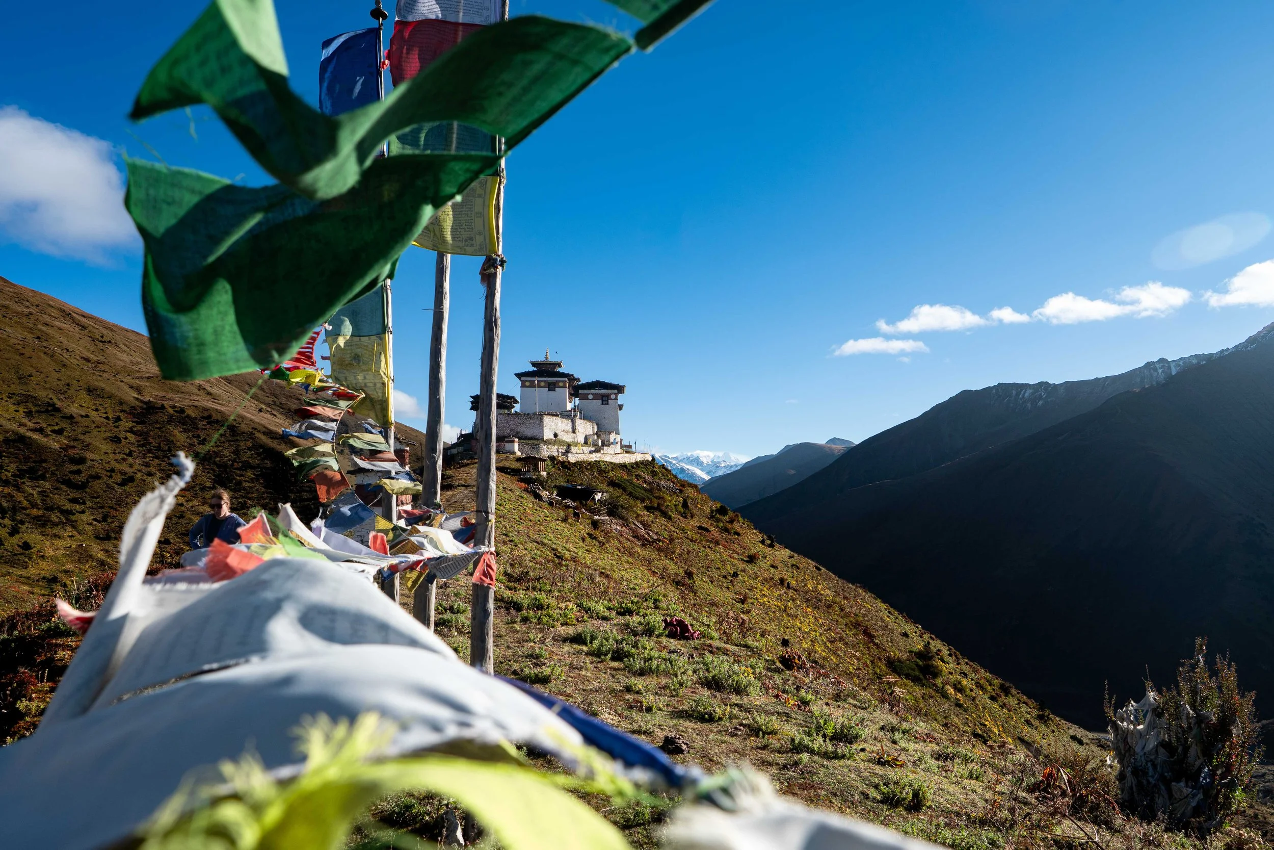
Trekked October 2026
Written October 2026
Intro
Bhutan had been on our radar for a long time. A totally unformed goal that sits in the back of my mind is to make it to every country that touches the Himalaya. We started with Nepal in 2016 then India in 2022 to do the Markha Valley trek and hemmed in the Northern Himalaya with a trip to Tajikistan in 2025. That last one had left us a little scarred so, when we started to look across the globe in 2026, our eyes settled on the little country nestled between two superpowers and we decided it would be our Autumn destination.
It’s not cheap and it’s also not conducive to our typical do-it-yourself approach but this little county is home to some of the biggest mountains in the world and hosts what many say is the hardest trek of them all. Along the way you will find the quietest tourist traps and nicest people in the world to help make your trek a dream. This is Bhutan and there really isn’t anywhere else in the world like it.
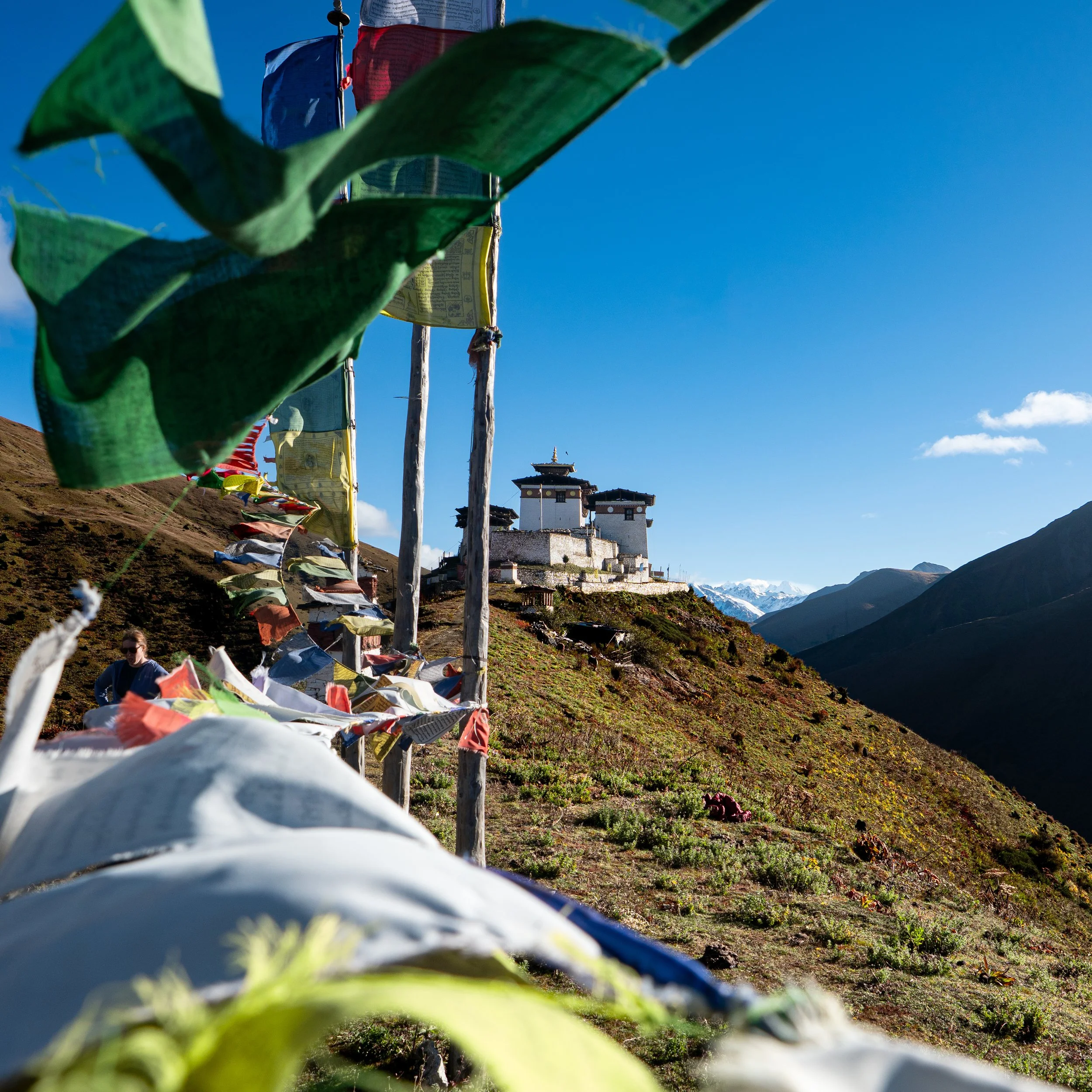
Linghzi Za
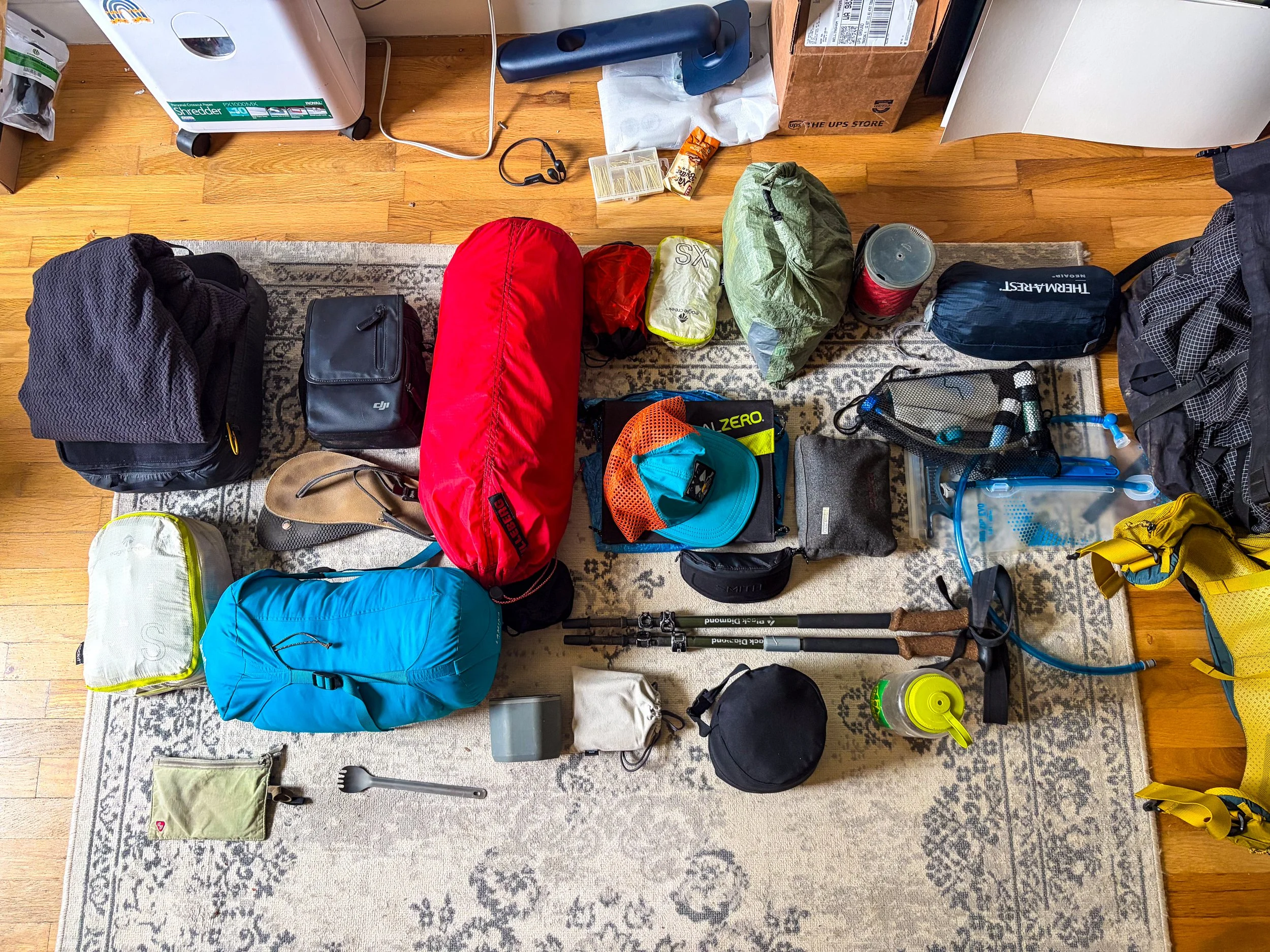
Packed and ready to go!
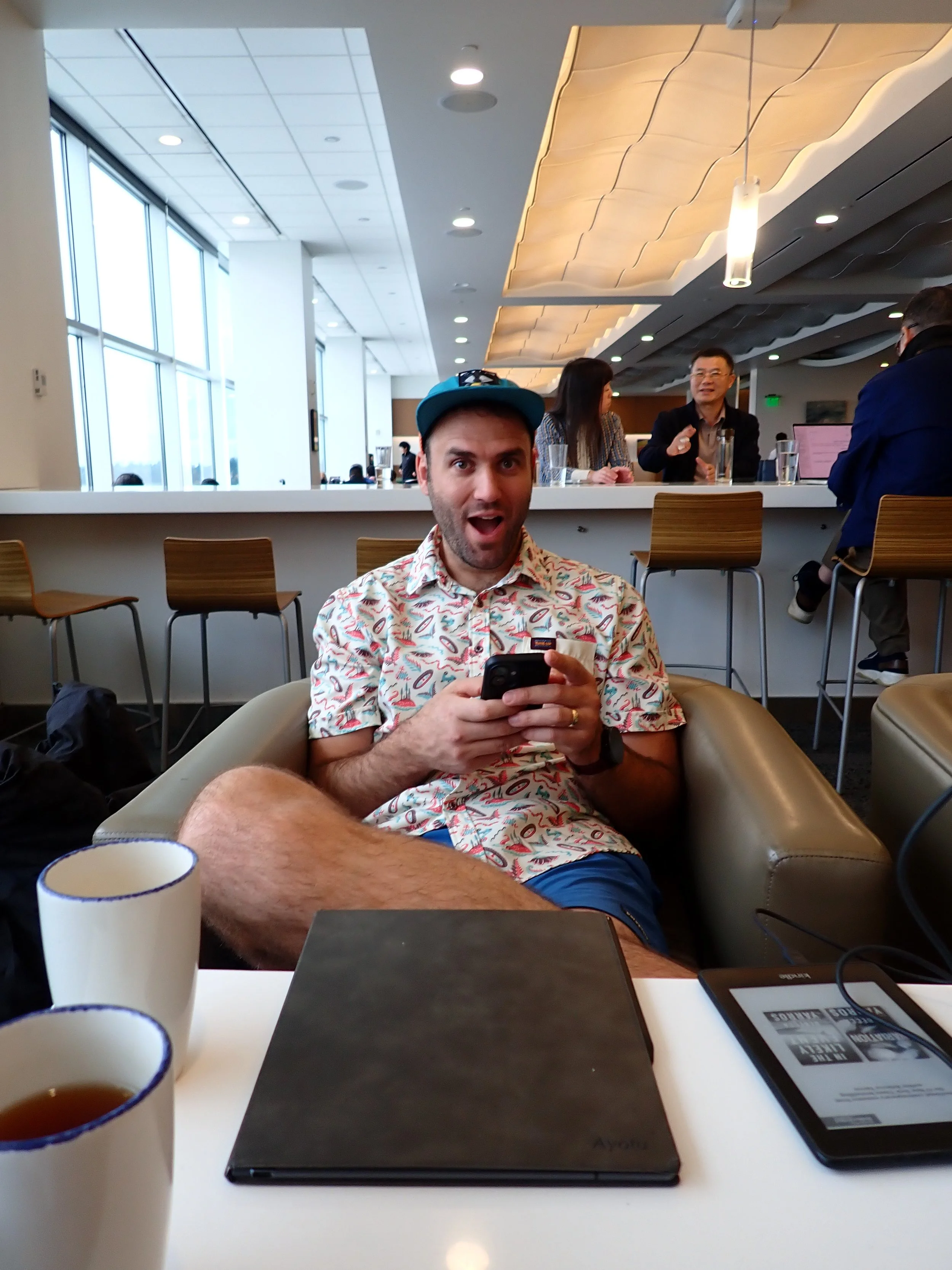
Staying positive despite the delay
Day-3: False Starts and Airport Carts
October 2nd, 2026
Well, this trip is off to a brutal start. Two months ago I spent a Saturday morning piecing together the flights for this trip. Bhutan is NOT an easy place to get to. It is serviced by exactly three airports - Kathmandu, New Delhi & Bangkok. Needless to say, no carriers offer connected itineraries from Seattle or Vancouver, BC so... I had to go through Kiwi.com. Kiwi was able to piece together a ridiculous itinerary for Seattle to Paro, then Paro to Beijing and finally Beijing back to Seattle, though I had to massage it in a few places where it wanted me to make a 30-minute connection. In the end I was able to get it to connect Seattle to New Delhi via Istanbul and then into Paro from there, following an eight hour layover in New Delhi. All was good.
But actually, all was not good. Upon arrival at Seatac, Amanda and I made our way to the check-in counter and handed over our passports, upon which we were asked by the nice gentleman behind the counter "can I see your Visa for India?" "We don't have one," I said "we are transferring in India, not staying." I pulled out my very expensive Bhutanese visa to show him I wasn't a complete idiot but he wasn't super impressed. "Your Turkish airline ticket is for New Deli,” he responded “I can't issue your ticket without an India Visa.”
So initiated a mad scramble between Amanda and I to try and fix the situation. I embarked on three chat messages with Kiwi.com, all with an AI Chat bot and all which led to absolute dead-ends. Basically, I hadn't sprung for the 200$ extra help fee with them so I could go to hell for all they cared, though the chat bot assured me it felt terrible about the situation. Amanda looked to see if we could get Hail Mary Indian visas or if we could use the ones we got for our 2022 trip there, all to no avail. I did eventually get a hold of a real person at Kiwi. The dialogue from their end was horribly garbled which, I'm fairly certain wasn't an accident, but I was able to make out that they couldn't do anything on their end, again, because I was a plebeian who had bought a discount service. I even asked if it would be possible to just truncate the trip to Istanbul so we could figure things out from there but it started to feel like things were difficult by design and no one was going to go out of their way to fix anything for us. They did tell me to call Turkish which I did and that team was pretty helpful but, by then, it was 15 minutes before the gate closed and the chance was gone. So, for the second time in our life, we watched a very expensive flight leave without us.
At that point we had a decision to make. We could use the latter 2/3rds of the Kiwi itinerary, the 100$/person/day SDF Visa and the gold-plated trekking experience we had already paid for or we could call it quits and retry something else. The good old sunk-cost fallacy came in big for us here and we shelled out another 4 grand to Cathay Pacific to get to Kathmandu the next day and on to Paro the day after. We would arrive 18 hours later than expected but our guide, Nim, assured us it wouldn't be a problem.
We got a hotel in Tukwila and ordered some Chinese food, talking about what went wrong over a pork belly bao. We have travelled so much, I was honestly kinda surprised this hadn't happened before. We have used kiwi.com before for tricky places before as well but what got us this time was changing carriers in a country that requires an advanced visa, which I would have been happy to get if I had known about it. Seems like something Kiwi could send an email about a few weeks ahead of time - just saying. In the end we laughed it off before heading to bed, steeped in the knowledge that, honestly, there wasn't a whole lot more we could do.
Day -2: Seattle to Kathmandu
October 3rd, 2026
We got a better start today, waking up refreshed and ready for the marathon to Kathmandu. We packed quickly and took advantage of the continental breakfast before boarding an airport shuttle and connecting into SEATAC. The shuttle dropped us as far as it seemingly could from Cathay Pacific's boarding gate and we wove our way through the now much busier departure terminal. Despite our unfounded apprehension of getting turned away again, the lady at Cathay just said "visa on arrival in Kathmandu?" to which we nodded and she completed our check-in. From there we flew through security and were soon boarding our flight to Hong Kong. After almost two hours of delay, the plane took off and we were under-way.
I always forget how miserable any flight over 6 hours is. I didn't sleep for any of it, watching a wild assortment of videos - from Moana (live action of course) to Basic Instinct. We landed in Hong Kong around 1830 local time and were escorted through the airport by a quick- footed air-stewardess to make our very condensed transit window. I was a little sad, initially, because Hong Kong is one of the few airports to have one of the new Chase Sapphire lounges - or, I should say, was because evidently Chase sold the lounge in January of 2026 so, alas, it is no more. We boarded our flight to Kathmandu without incident and were soon in the air again. I slept for about half the flight - exhaustion finally taking over, waking up several times to the sensation of drool running down my chin. Four and a half hours brought us into Kathmandu where we disembarked without issue. We did the typical visa-on-arrival dance and were through in about 1 hour.
At the baggage carousel a woman came on the loud speaker calling out Amanda's name - which is never a good sign. Turns out, her checked bag had not made the condensed time window and was sitting in Hong Kong. The lady coordinating the lost bags was confident she could get the bag to Paro though and took down a ton of our information before saying we would be able to pick the bag up in Paro the following day. My bag, for some reason, did make it and we left the airport shortly after picking it up.
We fought our way through a parking lot of locals and emphatic taxi drivers to the Hotel Black Diamond whereupon a bored looking youth checked us in. From there we made our way up to the room, took stock in our stuff, washed up, checked-in with the family and passed out.
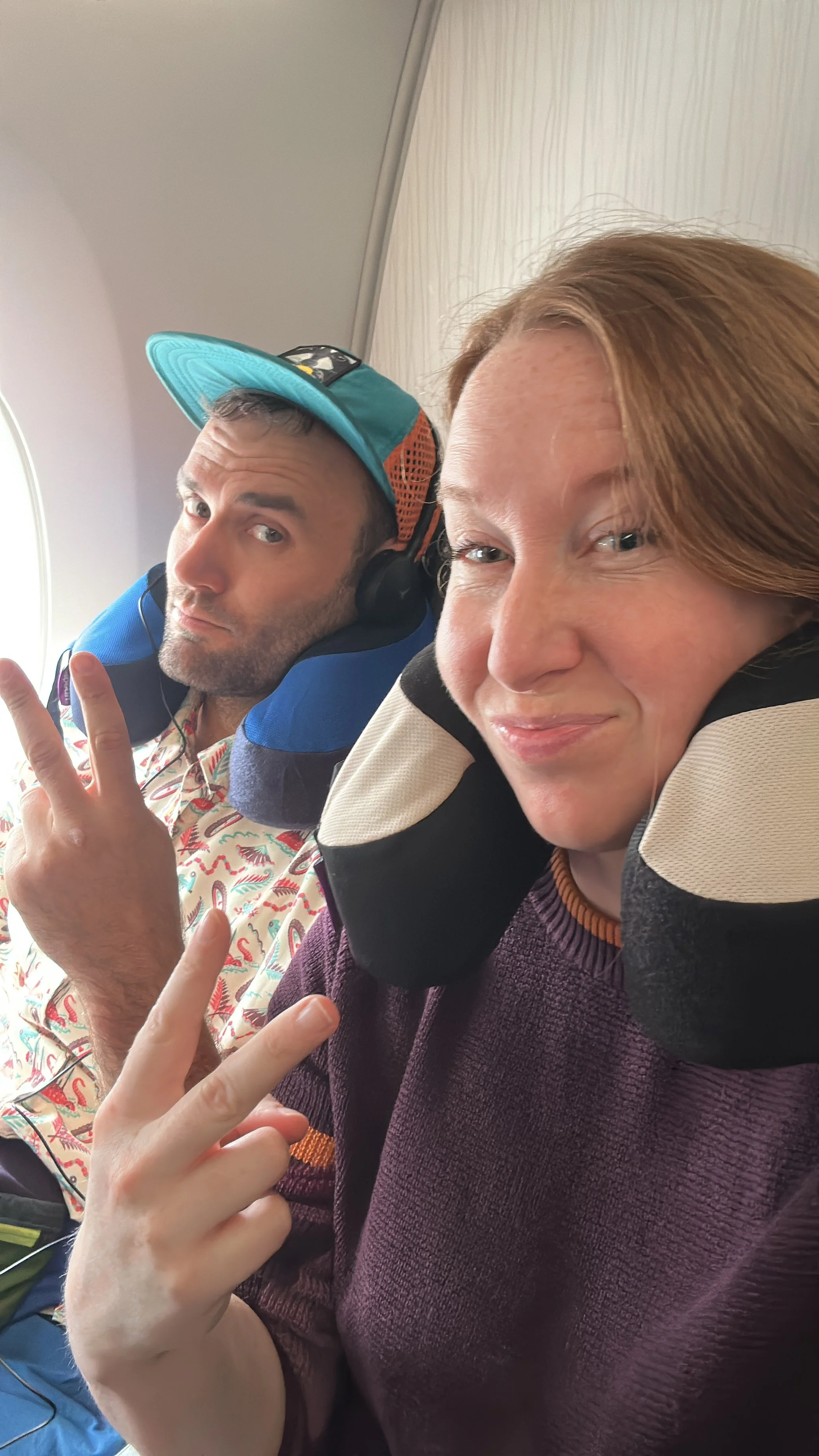
Keeping cool despite the mishaps
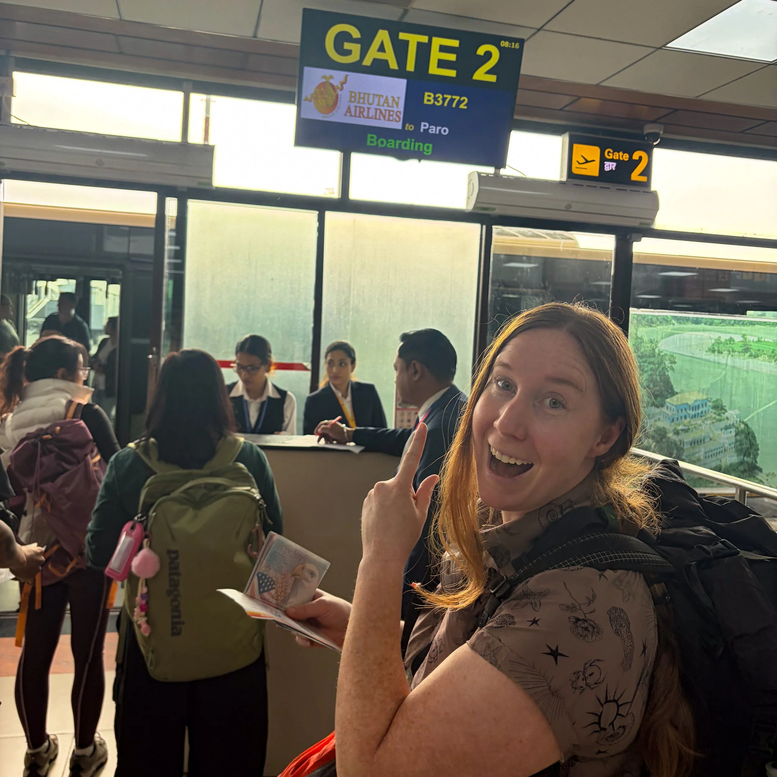
Amanda - always early to the gate…
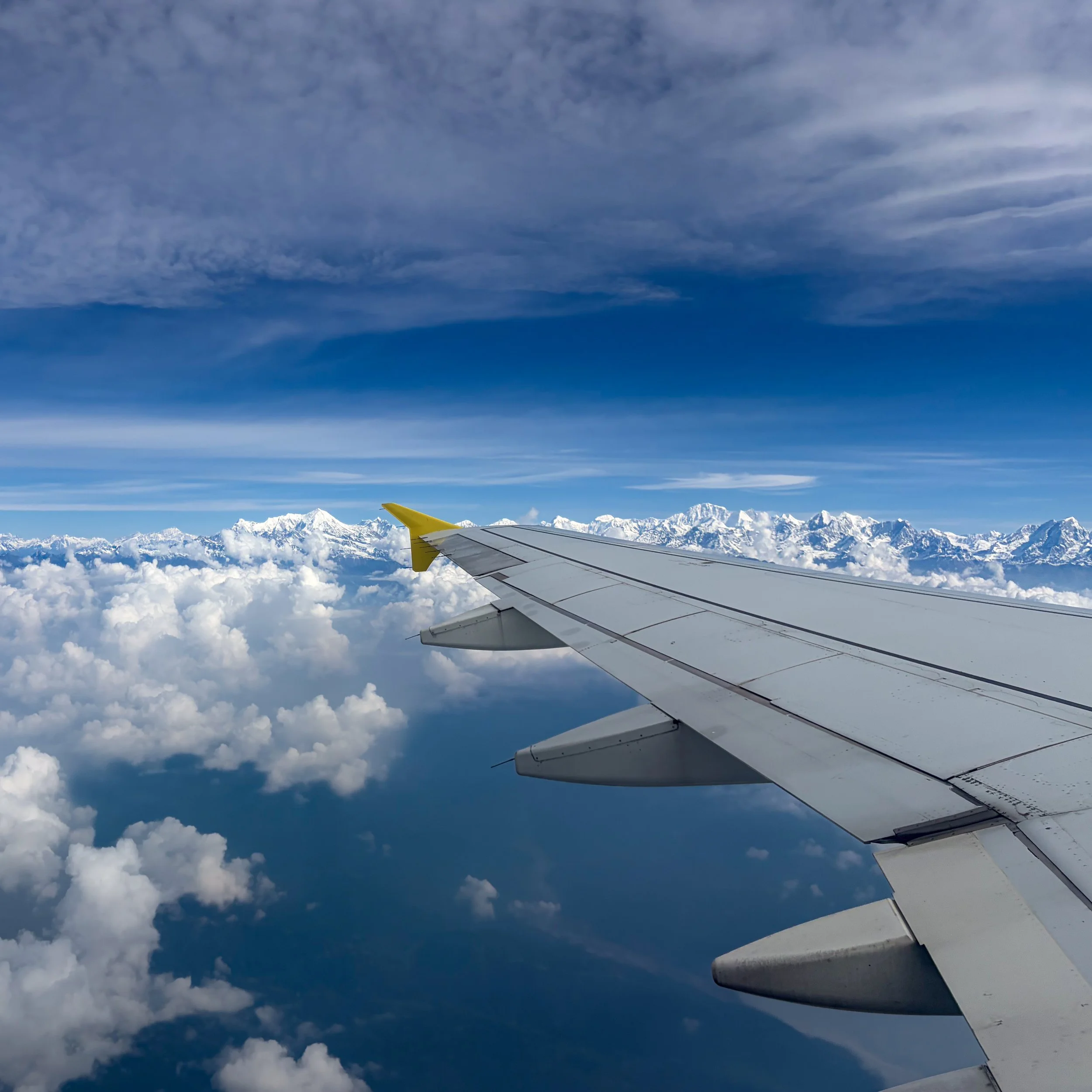
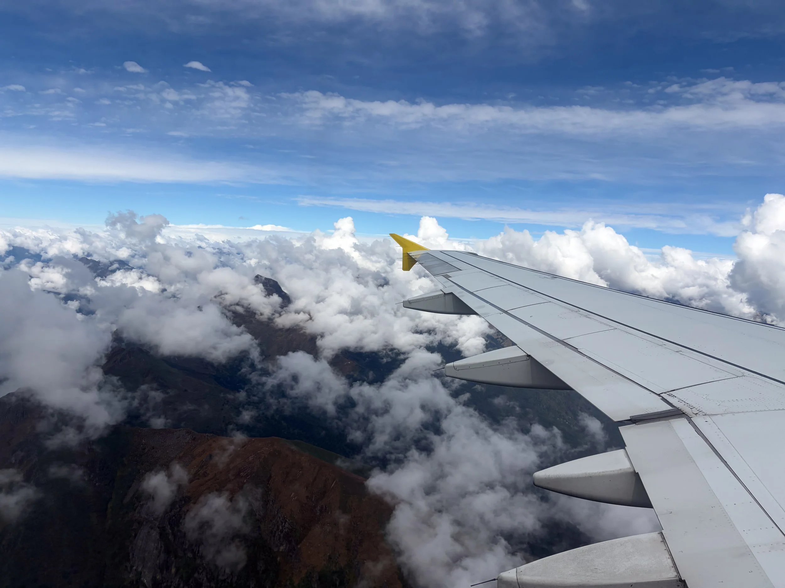
Flight along the south side of the Himilaya
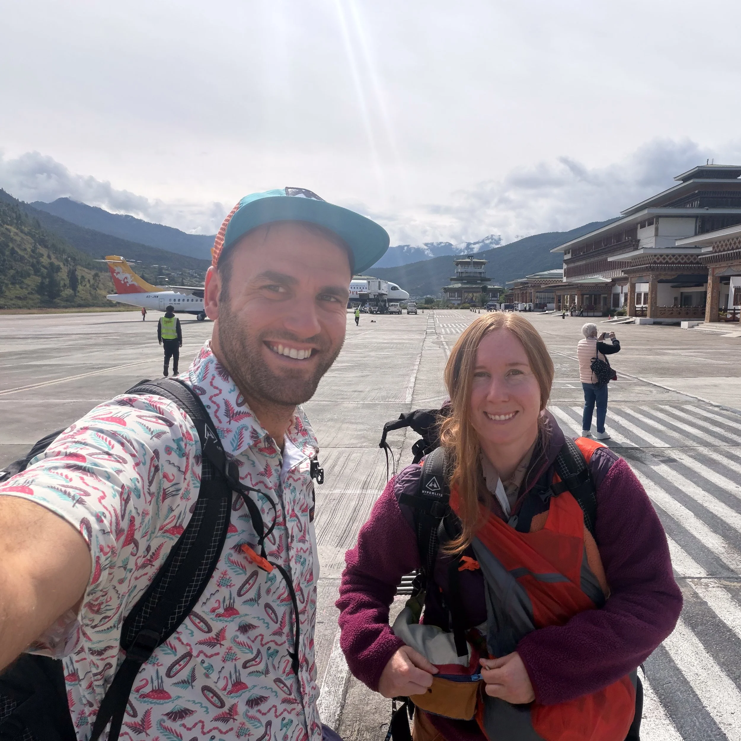
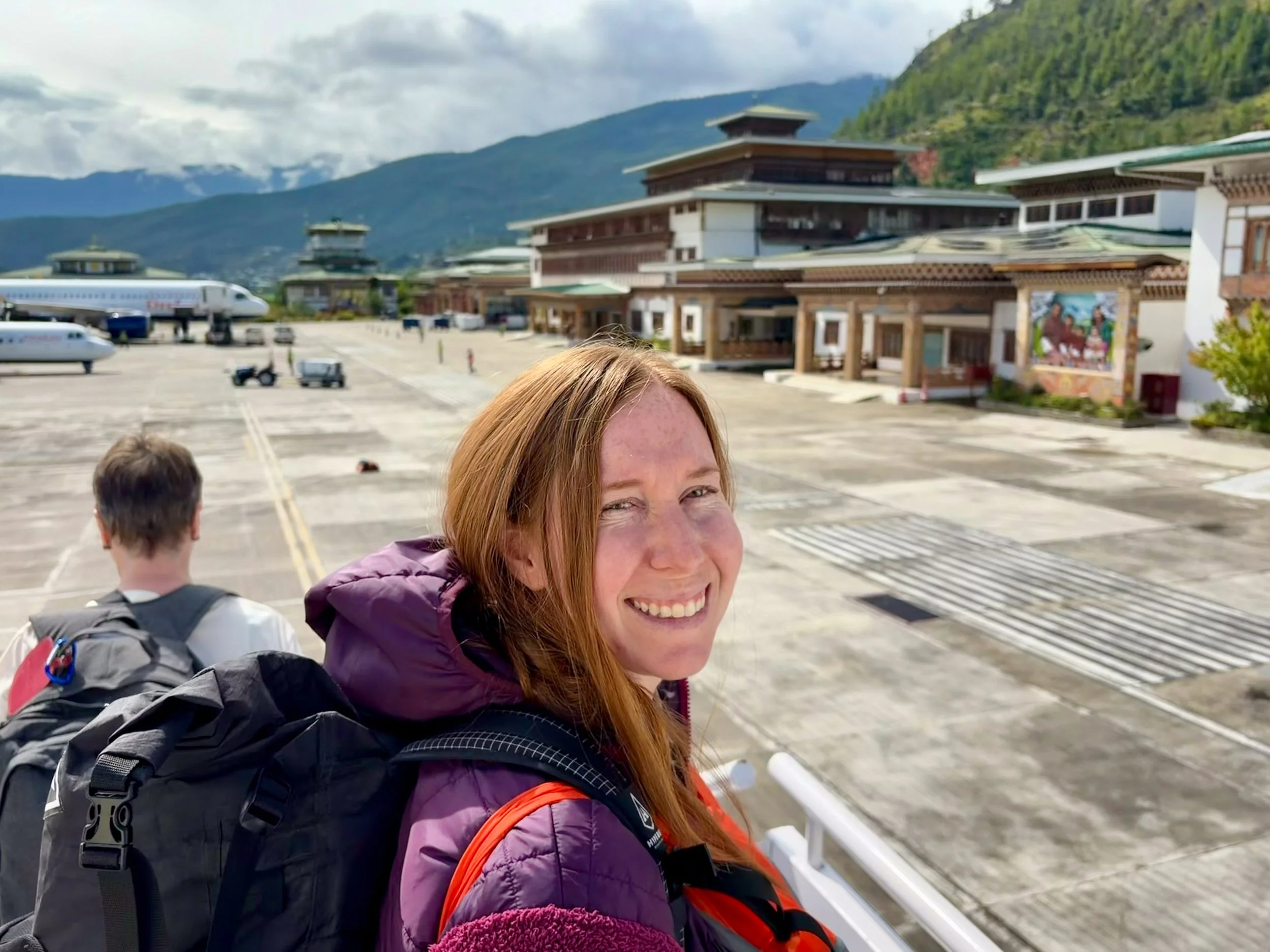
Arrival in Paro
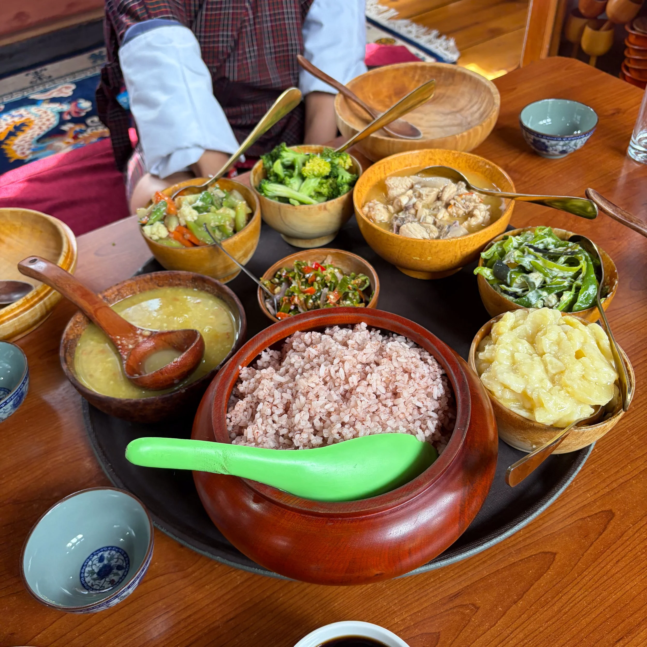
A quick Bhutanese feast!
Day -1: Paro Monastery & Citadel
October 5th, 2026 (Lost a day over the dateline)
As is usually the case, sleep was tough to come by, this being the first day into a twelve hour time shift. Amanda was up around 3 AM and started reading. I was able to push to about 4 am but couldn't go much farther than that. Our agreement had been to get up at 5 anyway, as it's always tricky to know what getting through customs in a country like Nepal is going to be like.
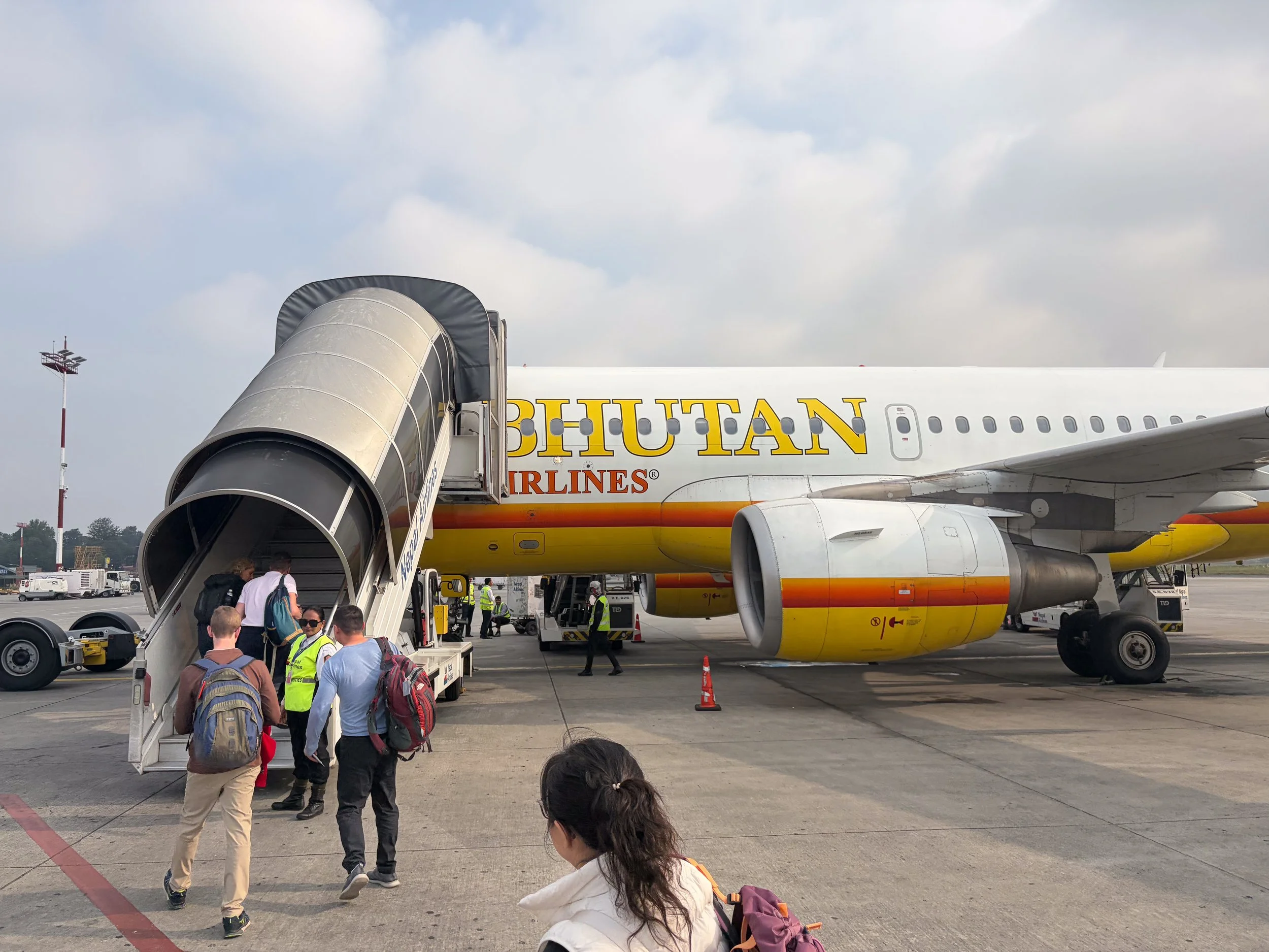
At 5, we got our things organized and were walking across the parking lot in front of the airport by 5:30. At the airport we checked in with Bhutan airlines and made our way upstairs to customs. Customs was a breeze and so we clocked a little time in the priority pass lounge which, for some reason, was before security. I definitely got my fair share of automated coffee machine cappacino's in the hour we chilled there waiting to go through security. The bacon was also surprisingly good but when is bacon ever not... After about an hour in the lounge, Amanda's travel anxiety got the best of her and we returned to the security counter, flew through and made our way to the departure gate. Once there we read and chatted with a nice older guy named Peter who was going to Bhutan on our flight for a two day stint. Eventually, they called us to the gate and we loaded up in the bus with a surprisingly low number of people and drove out to the plane. I took some pictures as we loaded on with our little cohort.
Once on, it became apparent how few people were actually riding with us, maybe thirty at most, so I split with Amanda and took a window seat to see the Himalaya enroute. Right on time we took off and about twenty minutes brought us up to cruising altitude and an amazing view of the high mountains. I've seen this range from the air about 8 times now but am always overwhelmed at how imposing they are. We got a pretty good view of Everest before the plane turned SE and headed towards Bhutan. We cruised along the south side of the Himalaya for about thirty minutes before the pilot began what has to be one of the most impressive approaches to an airport in the world. For the last 20 minutes of the flight, he slalomed our Airbus through the lowland valleys of Bhutan on approach to Paro airport - it was incredible. He was still coming out of a banked turn over a river - 100 ft. above the tarmac before putting it down effortlessly in the middle of the Paro valley.
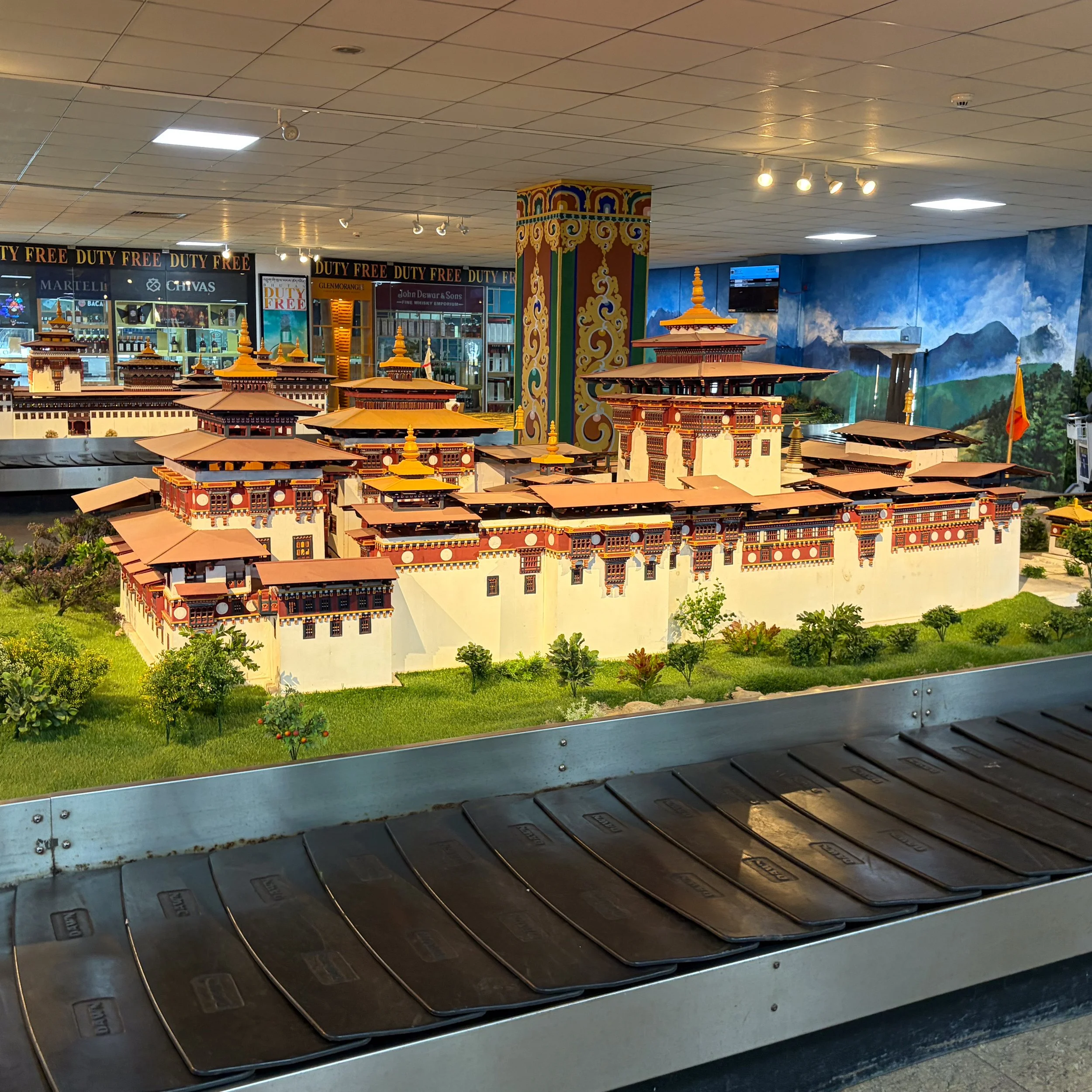
We disembarked and I started taking pictures of Paro's gorgeous airport. We stepped inside and the surprises continued. I had printed out my visa so I would have it on arrival - expecting something like Nepal’s haphazard customs but no, Paro is equipped with automatic customs gates that scan your passport, take your pick and biometrics and let you right in. It was also my first experience ever being in an airport with a total of maybe 50 people. All-in-all, easily the best airport experience of my life. The baggage carousels even have miniature guest houses built on them in immaculate detail.
We grabbed my checked bag, hoping that it would be joined by its wayward partner soon, and exited the airport. Now it was time to find the mysterious character we had sent 2800 USD to earlier in the week. Sure enough, as we left the airport, Nim was waiting with the sign he said he would have. We smiled and shook his hand before he showed us to the car. He introduced our driver as Mr. Phub and we took a picture together in front of the airport before heading to our hotel. As we drove to our hotel, both Amanda and I found ourselves supremely impressed by Bhutan. It is so organized & clean and all the houses are required to be built in the same, beautiful style. We went through the middle of Paro and Nim explained that the "World Peace" festival was ongoing which brought much of Bhutan into Paro so it was a little busier than usual.
We turned off the main road and, a few minutes later, were at our hotel. Nim said we could take a few hours to relax, which we did in a fabulous room with some lemon ginger tea. After we had recuperated, we went out to get me a pair of long pants, as mine were in the lost bag, and then to get lunch. We were both starving so we were very happy to arrive at a farm-house style guest house prepared with an amazing feast. There were scalloped style potatoes and lentil soup. There was chicken dahl and rice as well as mixed veggies but our favorite was the national dish of Bhutan, which is a hot roasted chili mixture cut up and mixed with cheese. It was definity a slow burn though that got out of hand quickly.
After lunch we talked for a while before leaving to go see the National Museum of Bhutan, which is housed in an old fort high on the hillside overlooking the Paro valley. We toured the museum for about two hours before making our way down to the fortress below, where much of the city's administration now takes place. Here, we looked around for another hour before ending our walk in the center of town. As we finished up, a massive thunderstorm rolled through and we got in the car just in time. Back at the hotel, we thank Nim and Mr. Phub and made our way up to the room. We ate a semi-satisfying dinner at the hotel before waging war against bed time and eventually passing out.
Day 0: Tiger's Nest
October 6th, 2026
Twas another fruitless night of sleep. For some reason, the initial 1-2 hours after I fall asleep are like attaining nirvana but right after that it's wide awake. I had an especially enjoyable experience at like 0200 AM when, for no reason at all, I woke up with my cortisol factory at like 100% output. Hard to box breath for about 30 minutes just to calm back down. The human body really is an amazing thing - just not the way you want it to be. It might have had something to do with Bhutan's signature dish, which I enjoyed several helpings of, but which was later trying to burn a hole through my intestinal tract. So maybe my body had every right to be freaking out.
Anyway, we were up at 5 without any issue, getting ready for our day trip to the Tiger's Nest Monastery. It is the tourist attraction of Bhutan and, even if you know nothing about the country itself, you have almost certainly seen a picture of the beautifully built Buddhist monastery perched atop a sheer cliff. Because of its popularity, Nim wanted to get an early start and that suited us just fine because we weren't sleeping anyway. We were in the car at six and bouncing our way up the road from Paro towards the same trailhead we would be embarking from the next day. About 30 minutes in, Mr. Phub turned off and we crossed the Paro river. From there, the road turned uphill steeply and we switched back our way up about 1000 feet. Eventually, we came to a trailhead parking lot where we got out and suited up.
We started up around 6:30, a few other early riser groups heading up with us. Occasionally, the fog would clear high up on the mountain and we would catch a glimpse of Tiger's Nest above us. We pressed on through the early morning, weaving our way up through Black Oak trees and Rhododendrons. There were a few groups being shuttled up on horse-back and a few others on foot but otherwise it was nice and quiet. About half way to the top we stopped at a really nice little cafe run by the Bhutanese government and complete with an espresso bar. We had some basic fruit for breakfast and a cappuccino while watching Tiger's Nest come and go in the mist, now much closer. We also learned about Bhutan's camp robber bird, the magpie. The magpie native to Bhutan has a super long white and black tail and will steal anything not closely guarded.
After breakfast we continued up the mountain side, passing beautiful stupas along the way. Another 30 minutes or so brought us to the famed overlook where so many pictures of the Tiger's nest have been taken. We stopped here and I took a ridiculous number of pictures, trying to get some cool misty shots. From the viewpoint, we descended maybe 200 feet to a little gully with an amazing waterfall cascading down from above. We took our share of artsy waterfall pictures before beginning the climb back to Tiger's Nest. At the monastery we checked in our things, including cameras and phones before ascending the stairs. Just before entering Nim stopped us and had us do a breathing exercise, which we struggled with given the altitude, to get centered. Nim then gave us a very brief overview of the Tiger's Nest.
Paro Taktsang, widely known as the Tiger's Nest, is a prominent Himalayan Buddhist sacred site and temple complex clinging to a sheer cliffside 3,000 feet above the Paro Valley in Bhutan. Its origins date back to the 8th century when Guru Rinpoche (Padmasambhava)—the figure credited with introducing Buddhism to Bhutan—allegedly flew to this location on the back of a tigress. He is said to have meditated in the site's Taktsang Senge Samdup cave for over three years. The formal monastery structure was later constructed around these holy caves in 1692 by Gyalse Tenzin Rabgye.
Tiger's Nest serves as the cultural and spiritual heart of Bhutanese Vajrayana Buddhism. It acts as a living testament to the nation's spiritual heritage and remains an active pilgrimage site for Buddhists worldwide seeking merit, protection, and enlightenment. Despite devastating fires—most notably in 1998—the monastery was meticulously restored, demonstrating the profound resilience of the Bhutanese faith. The physically demanding hike required to reach the four main temples is viewed by pilgrims as a reflection of the inner spiritual ascent toward enlightenment, cementing Taktsang as Bhutan's most iconic architectural and religious landmark.
At the temple we shuttled through a series of alcoves, each with a unique spiritual meaning. Nim was very knowledgeable about the various Buddhist deities that were ensconced on the walls throughout and spent plenty of time answering our many questions. We toured through the temple for about 90 minutes before finishing at a deep cave that burrowed into the floor of the Temple.
The crowds were really starting to build and we got out just before the rush, heading back under the waterfall and making one way up towards the viewpoint. It was here that Nim insisted we stop so that he could put us into traditional Bhutanese garb. This was a surprise to both of us and teetered on the edge of cultural appropriation but we didn't want to be rude so just smiled and took pictures as Nim & Mr. Phub wrapped us up in the bright red garb. I was fortunate, at least I got to take my pants off - Amanda had to wear the whole thing over her hiking gear, and the day was really starting to heat up. Nim directed us up the hill we had descended but, at the main observation point, we left the main flow of people and continued to climb even higher. We spiraled up, sometimes using metal stairs stapled into the side of the mountain, and eventually reached another, smaller monastery about 500' above the Tiger's Nest. Here, we sat and chatted for a while. A Swiss guy came up shortly after and we swapped stories for about thirty minutes while snacking on Doritos that two random Bhutanese boys shared with us. Nim told Amanda she could change out of the traditional garb so it wouldn't trip her up on the way down, but I kept mine on, firmly devoted to the character. We took a final few pictures and then began our descent, weaving through some outbuildings that Nim said the monks-in-training live in.
We descended without issue, eventually reaching the cafe where we stopped for lunch. I definitely got some stars in the garb. After lunch... and another cappacino, we descended all the way back to the car, hopscotching with some older german ladies. One of them made a strong point of passing us towards the bottom which gave me some major PTSD from our two years living in Deutschland. Back at the car, we took one last look up at Tiger's nest, which was now plainly in view with the clouds gone, and loaded up. Dr. Phub drove us back to the hotel where I spent a few hours writing and Amanda spent that same time trying not to sleep.
Around 5 pm we walked into Paro from the hotel and Nim took us to one of his favorite Local restaurants - Momo something. I got some Hot Honey Fried potato fritters and Amanda and I shared some Fried Rice. From there we walked around until we couldn't keep our eyes open and Mr. Phub drove us back to the hotel. We did a brief bit of packing and then quickly passed out.
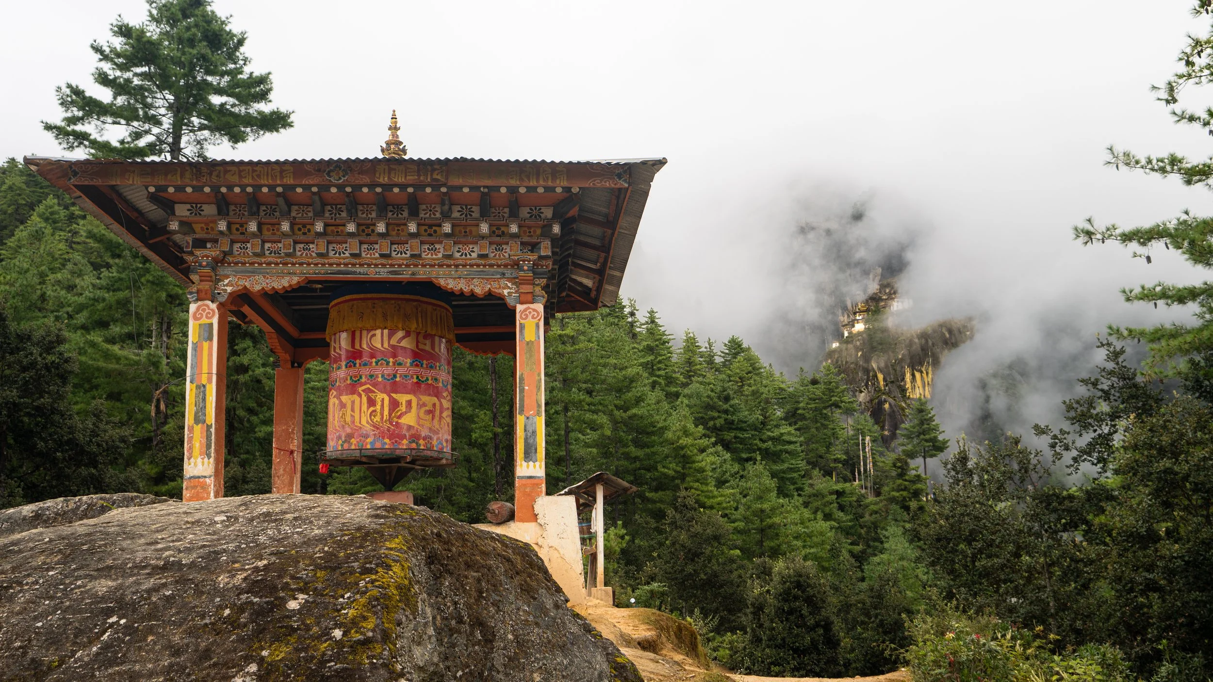
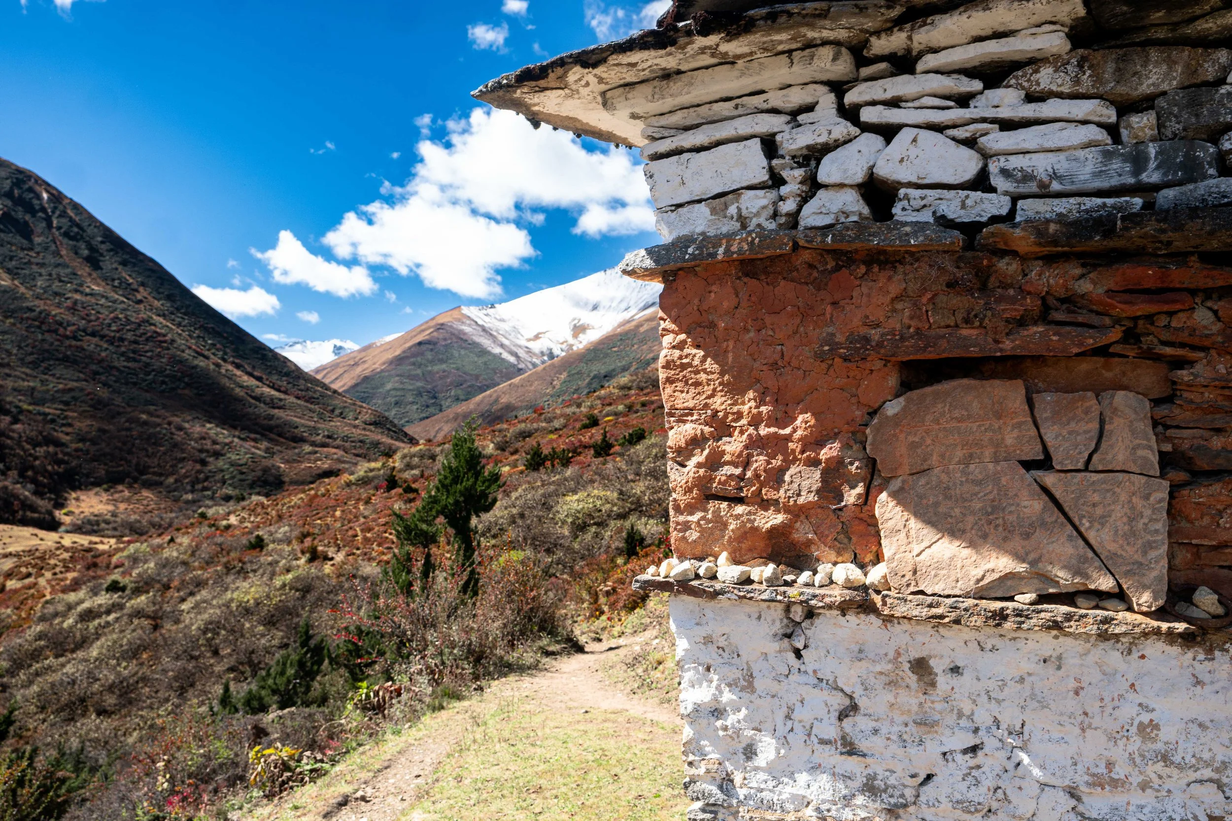
Stupa on the way to Tiger’s nest
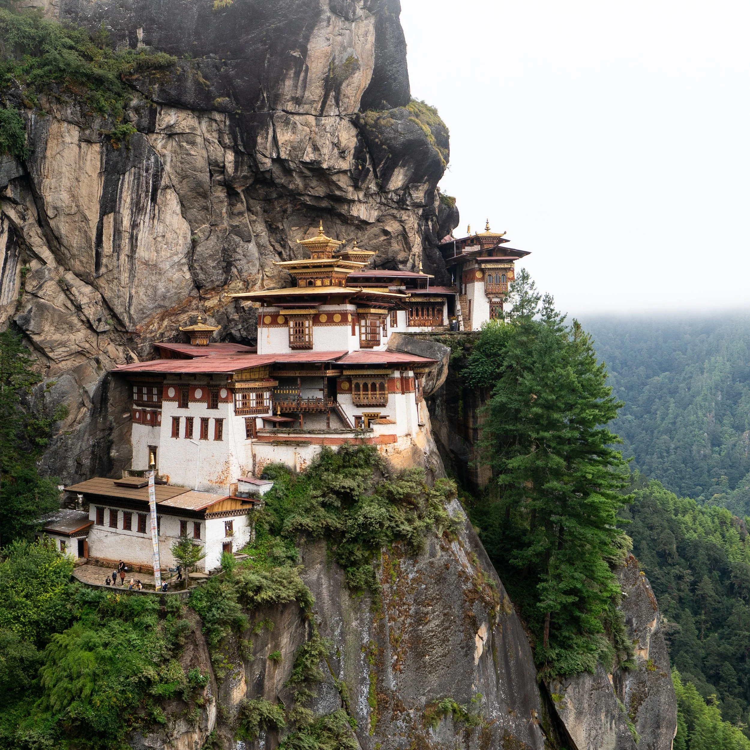
Tigers Nest Monastary
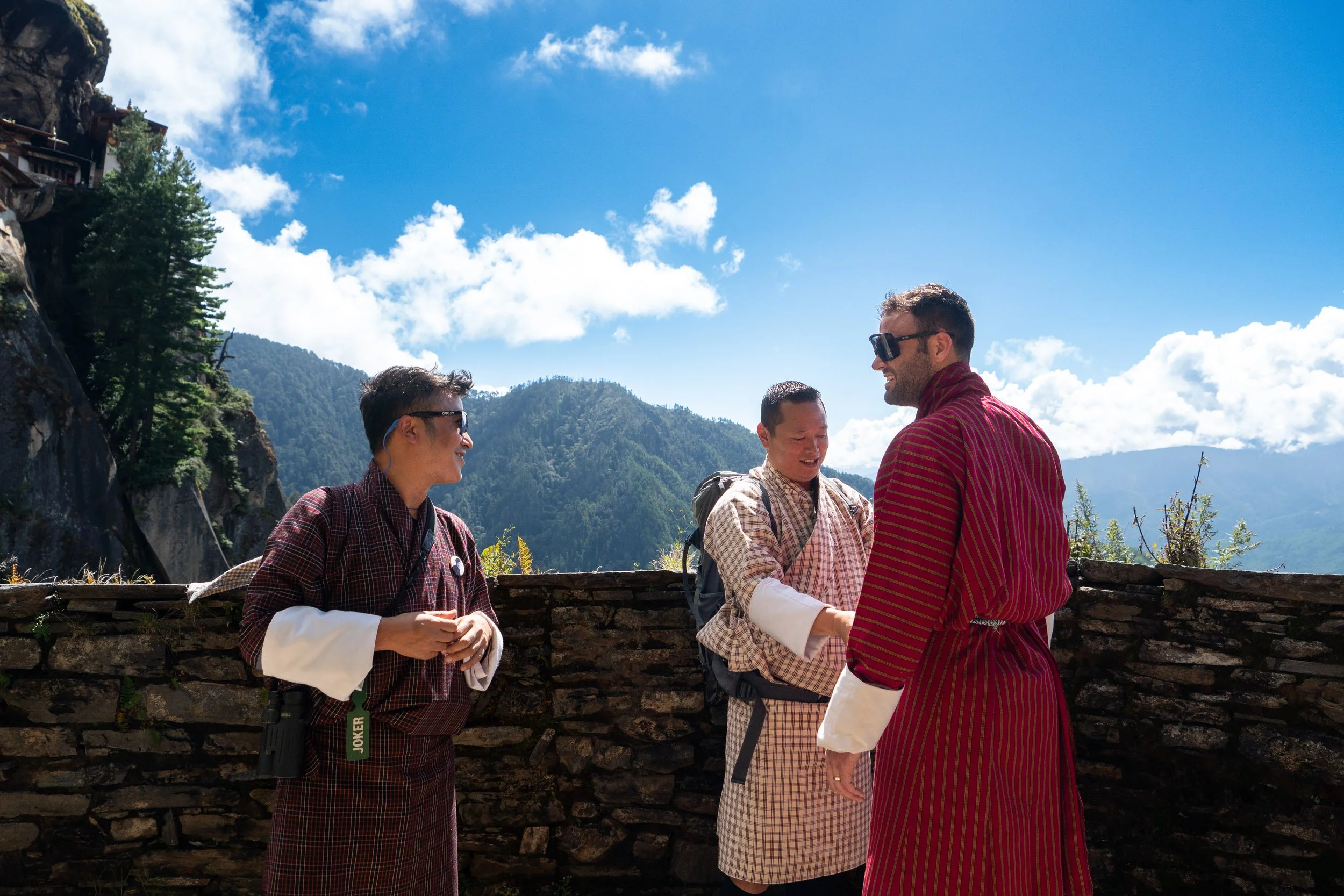
Surprise wardrobe change!!
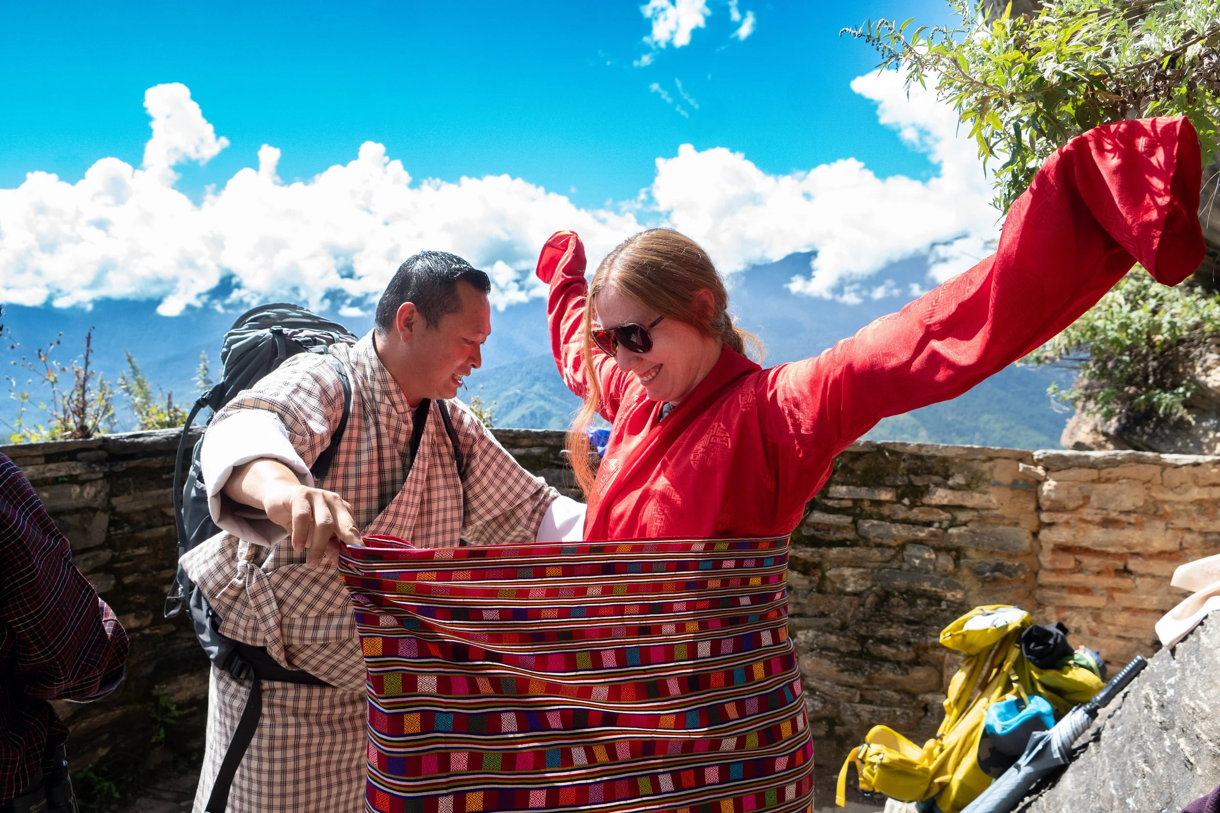
Looking good in red!
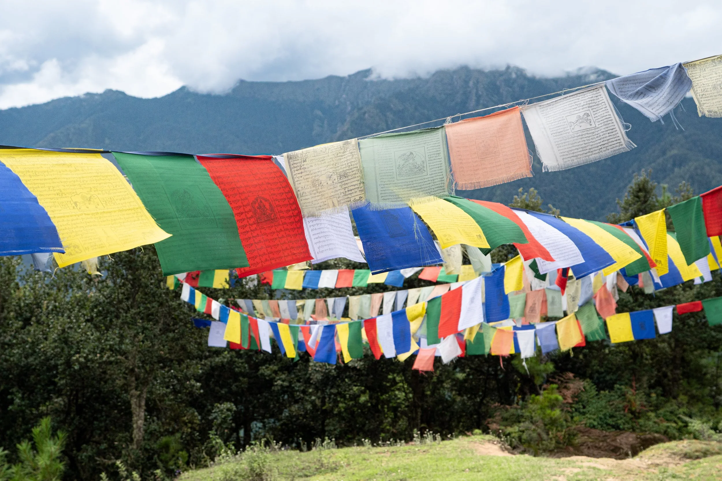
Prayer flags on the way down
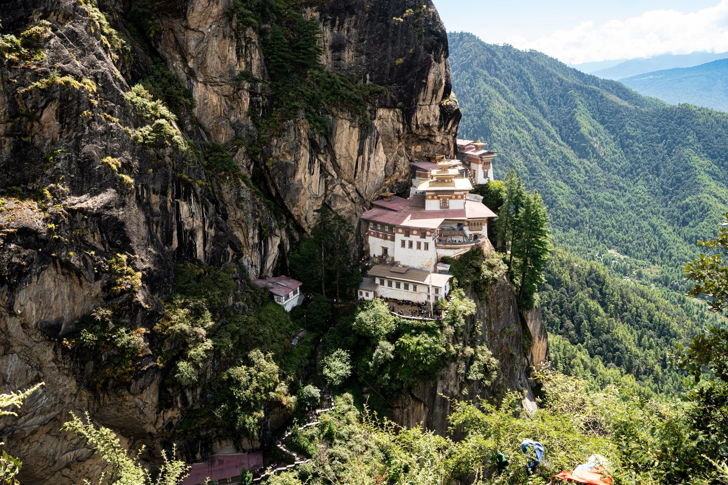
Some beautiful spires
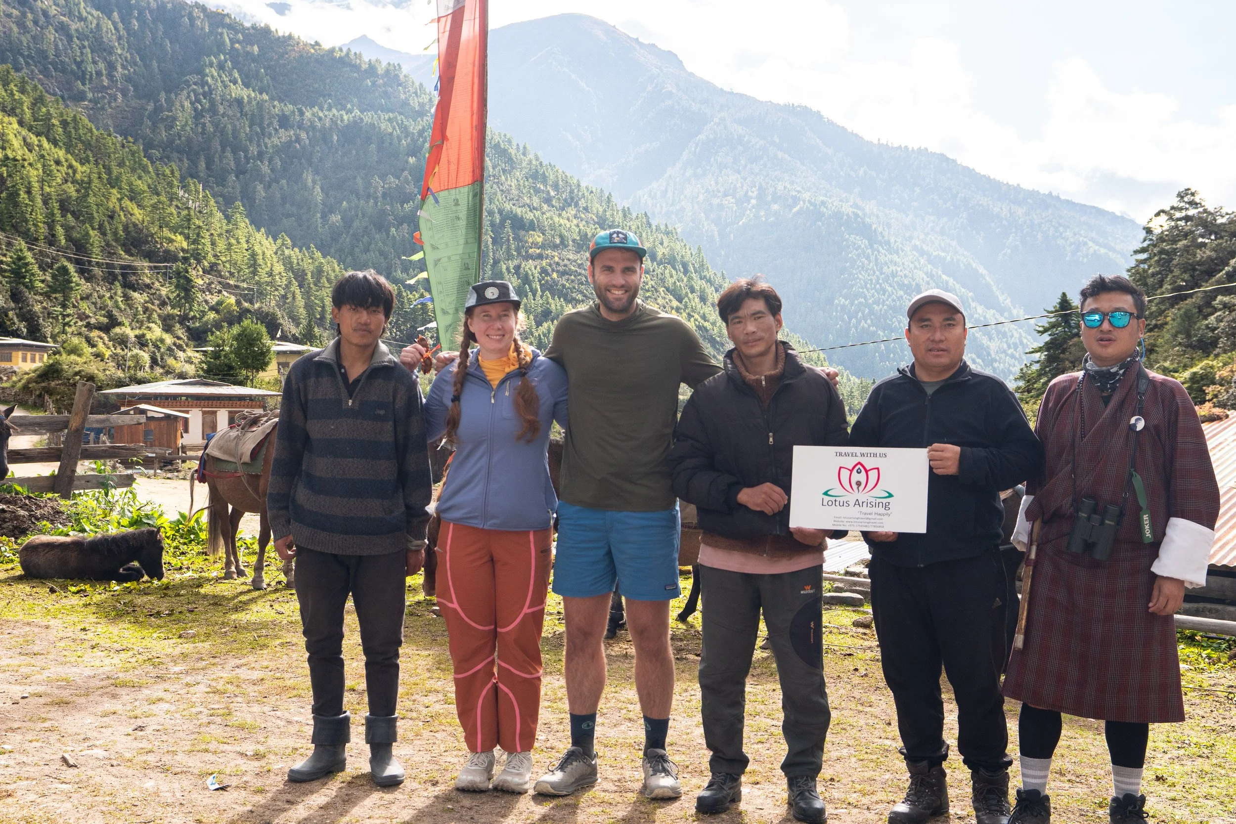
From left to right: Solumn, Amanda, Payden, Phub, KaKa and Nim
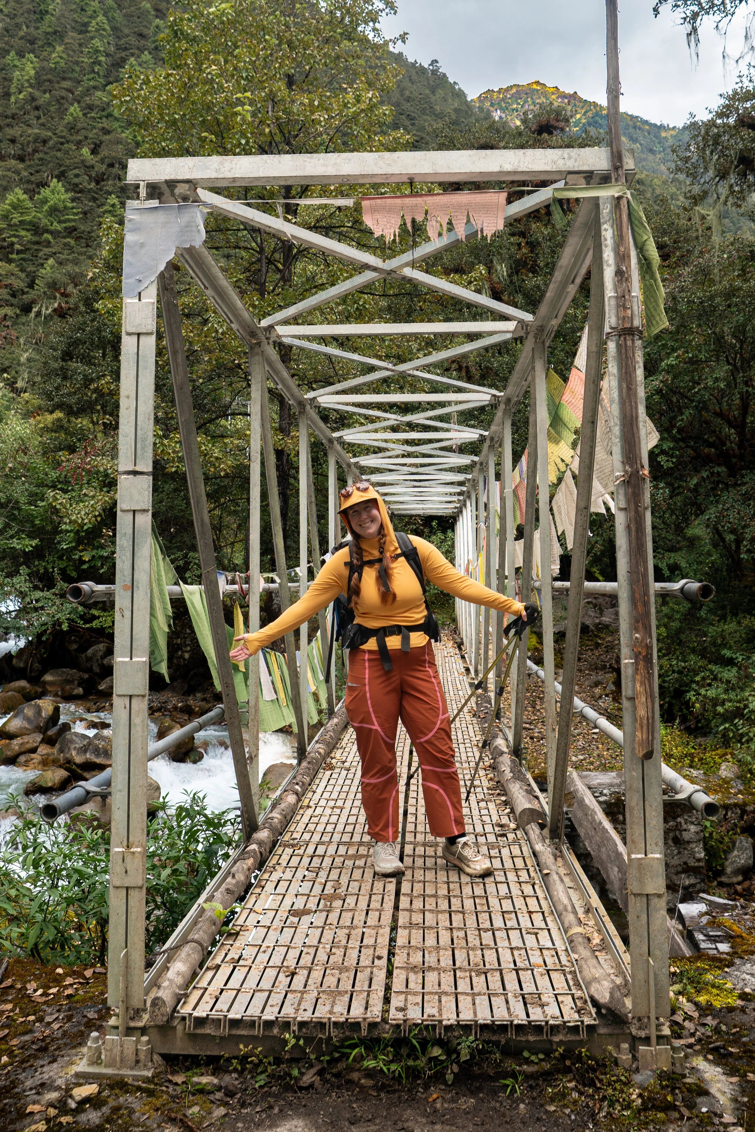
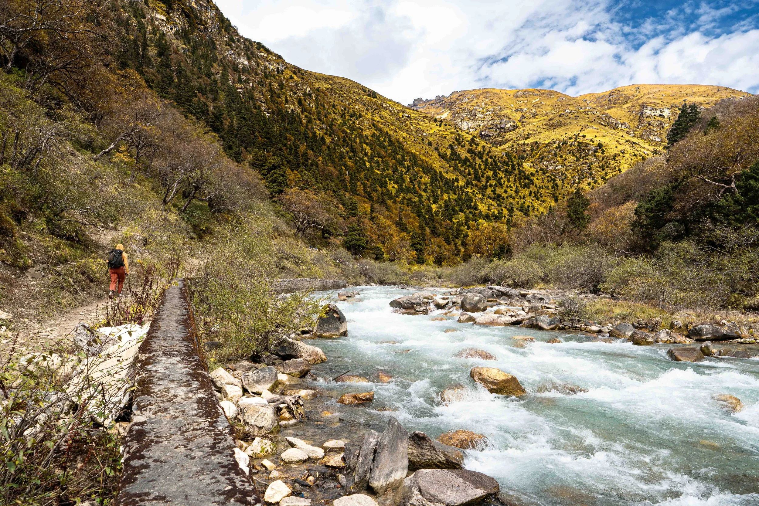
Amanda crossing one of the many aluminum bridges on day 1
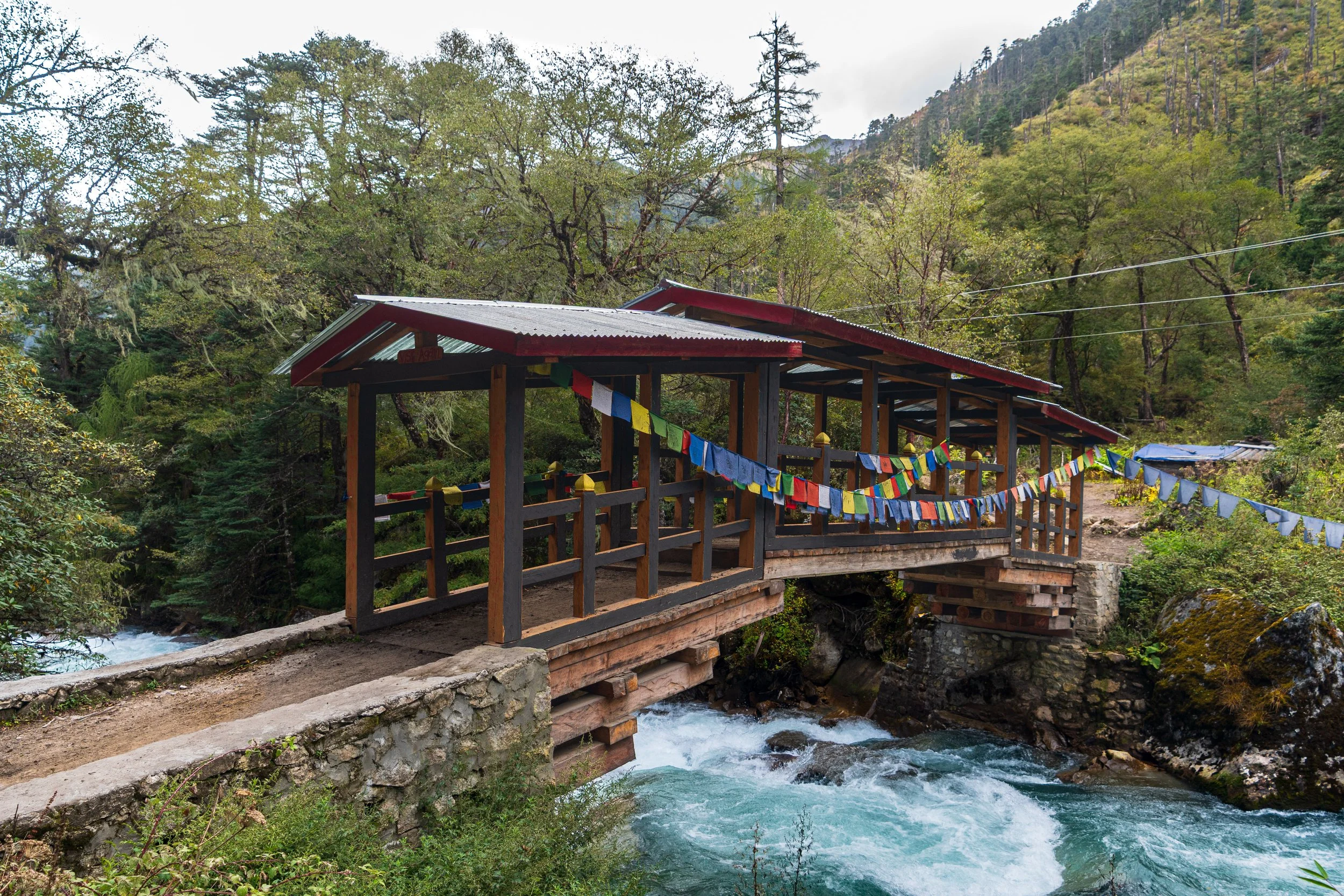
These stacked-style bridges were also common along the river
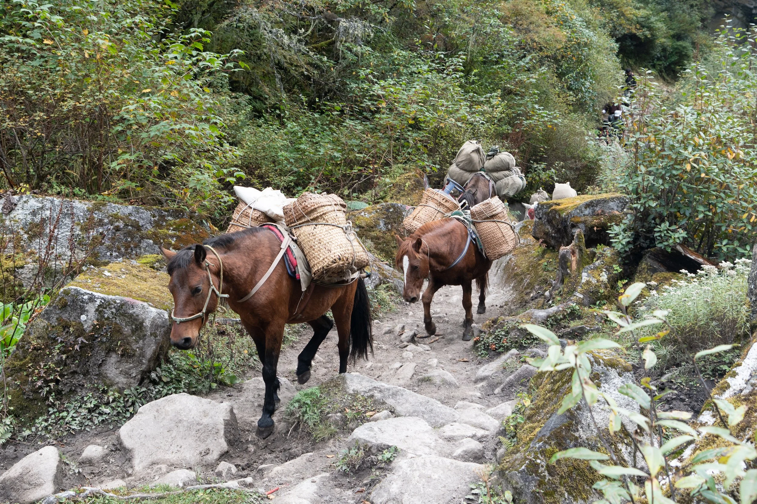
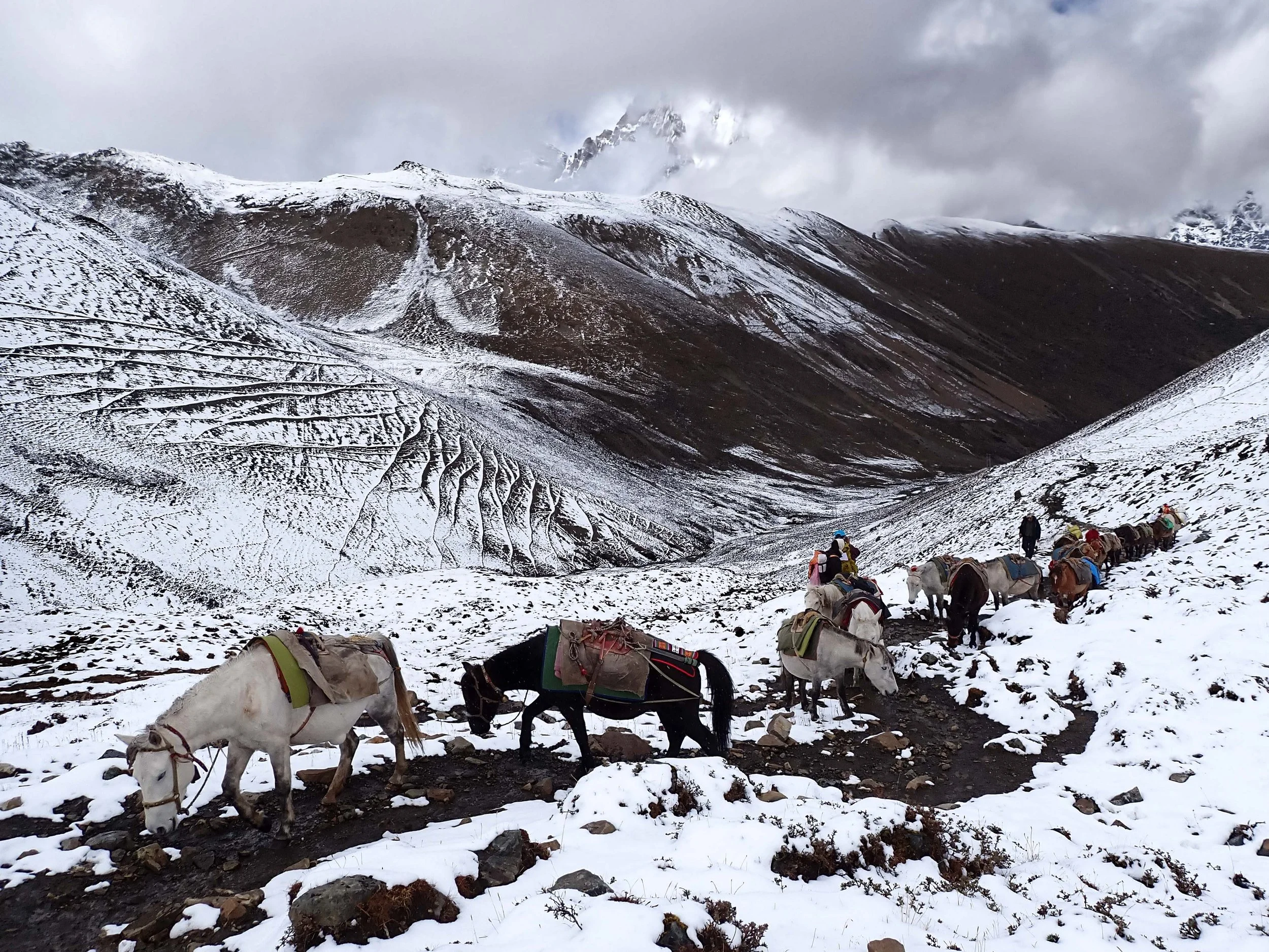
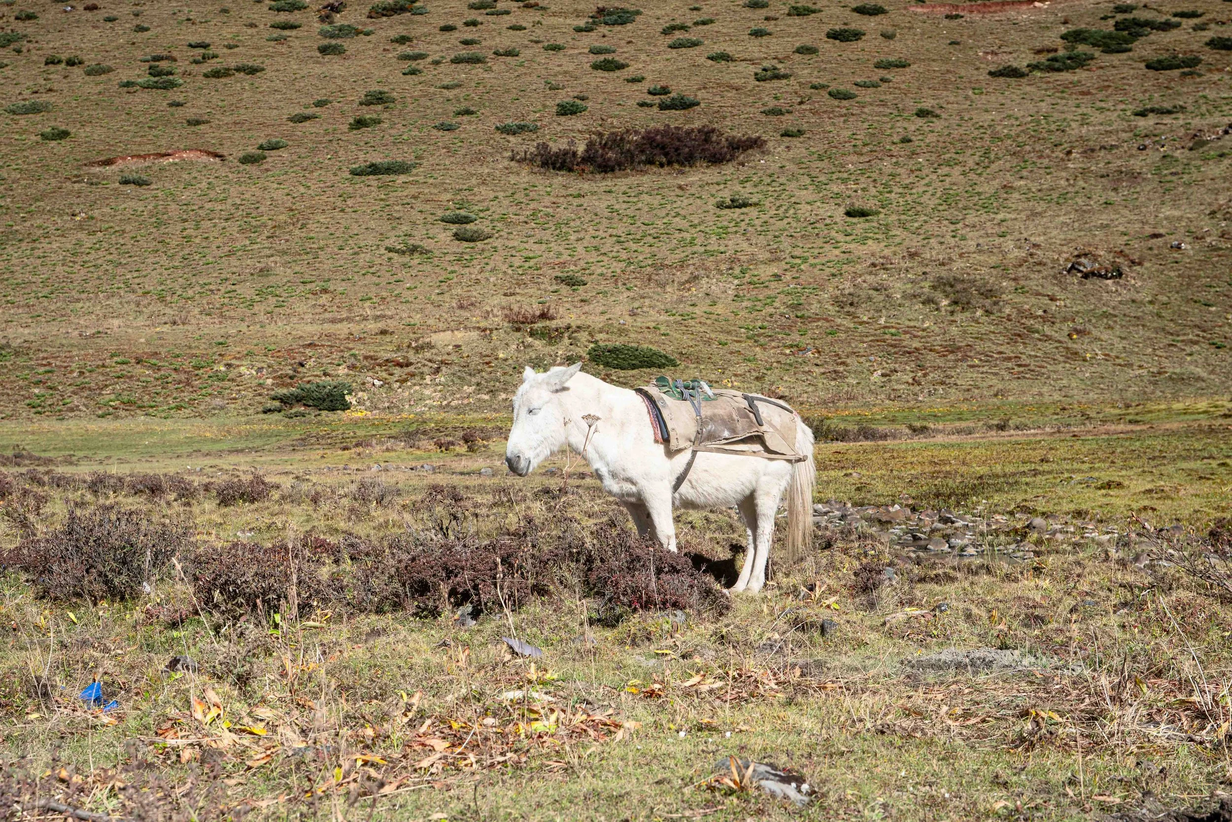
Our mule/horse train catching up with us.
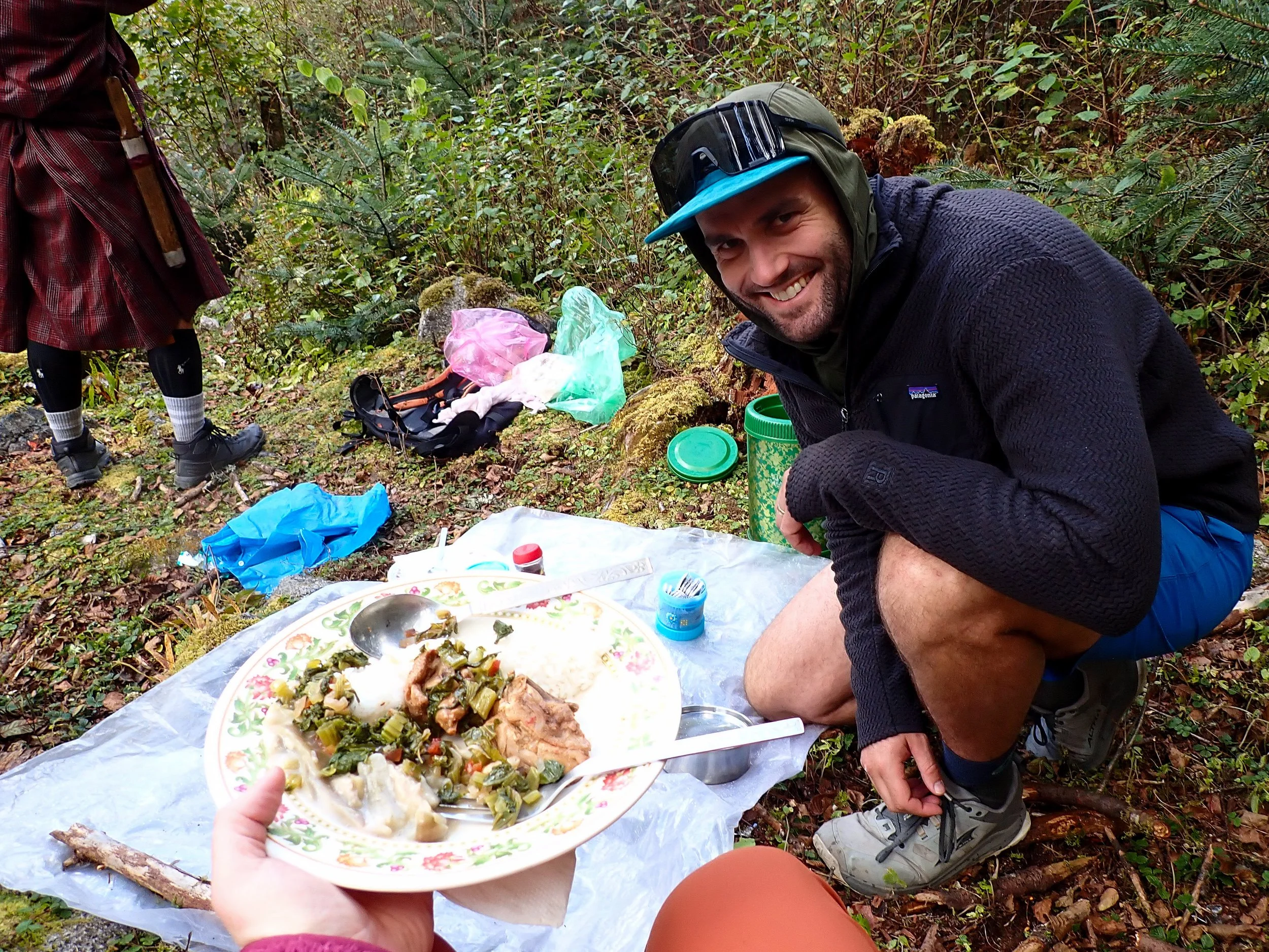
Boogie lunch
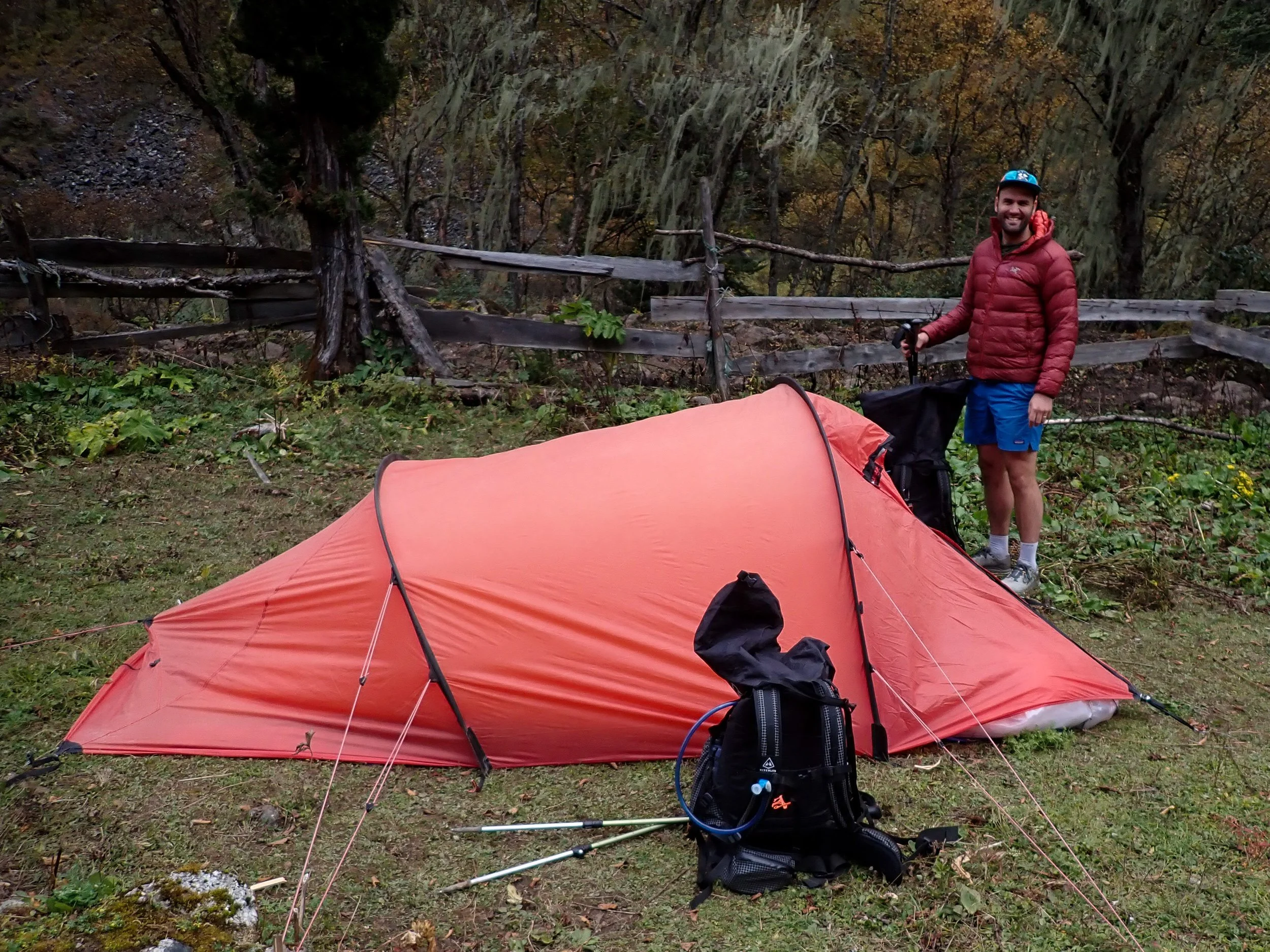
Tent set up… pointing downhilll
Day 1: Shana to Thang thangka
October 7th, 2026
The nights aren't getting better. Admittedly though, there was a good reason this time. Yesterday, Nim and I had settled up and I had gotten a final number for the second wire transfer that needed to be made. The good news was that the Industrial Credit Union Banker, Chris Longo, who had helped me with the first transfer said I could initiate the second one from Bhutan - I just needed to Zoom call him when I was ready to get that going. Bad news was that ICU didn't open until 10 AM which translated to 11 PM local time. So it was that I found myself trying to get a hold of him at 11: 30 PM in the hotel lobby. After several failed attempts to connect, I left a message and went back to sleep only to have him call back 15 minutes later. Then I spent 25 minutes trying to get Zoom to work. All said and done, I lost two hours of sleep but did get the transfer initiated.
Despite all that, it still wasn't much of a chore getting up at 5 this morning. Amanda pretty much gave up going back to sleep after I left the room for the second time. She just read for 5 hrs. She really struggles adjusting to these larger time charges. The 5 am wake-up gave us plenty of time to get some last minute charging done and pack-up. By 6:20 we were all set to go and headed down to meet Nim in the lobby. Mr. Phub helped us load our things in the car and just like that, we were off, headed back towards the Tiger's Nest. This time though, we continued onwards along the Paro Chhu river which winds its way lazily down from Jomolhari to Paro. The road got rough and Mr. Phub had to take it really slow in places to keep the suspension in tact. In one place, the road had been very freshly excavated after a bad h\land slide. We crawled on through rice patties and the valley eventually narrowed up. It's a little unsettling being in a narrow valley in the Himalaya after the major flash flood in Nepal less than a month ago but I'm just trying to not think about it. I mean - they say the safest time to fly was just after 911. That logic works, right?
About an hour and twenty minutes of careful driving brought us to Shana Zampa, where we went through a military checkpoint. The road dead-ended shortly after that and we exited the car. At the trail head, we met our crew. Our chef's name was Ka-Ka and our horseman was named Solumn. Both were very nice. There was also a helper whose name, ironically, was also Puhb. Also helping us were seven horses. Well, technically, they were a combo of horses & mules. After we loaded our things we ducked into a run-down shelter where Ka-ka had made a great breakfast of porridge, eggs and bread. I had my second coffee of the day and Amanda had tea. Outside, as we ate, a Dutch couple showed up and met their team.
After breakfast, Amanda and I headed outside and got our things together. We used the restroom one more time and did our warm-ups before, at around 8:40, we kicked off. Annoyingly, the dutch started right behind us which is... just so on-point for the peoples of NW Europe. So, we hopscotched with them for a while up the trail before some separation was established. We walked for about an hour, amongst more Black Oak trees before our first break. This isn't how Amanda and I usually trick. Usually we burn 3-5 miles before stopping for anything but most of the days on this trek are less than ten miles and there isn't much to do once you reach camp since... I left my games at home so, might as well take it easy.
From our first break we continued on. It's really a river-bed walk for the first day. Lots of roots and rocks with deep trenches out between by all the stock travel. Occasionally, we would pass over some head-lands that dropped straight off the side into the Paro Chhu river. We passed the Dutch couple again, giving a friendly wave and stopped again just after the 2-hour mark at around 10,428. More nuts ensued, as well as juice-boxes filled with some Mango drink. The Dutch couple passed us before we continued on. From our second break we continued the climb at what was a perfect grade, enjoying the sounds of the forest around us and occasionally Phub had caught us and walked with us for a while. Our horse team also caught us and continued on to get camp set-up.
We stopped for our main lunch at the 3-hour mark and Phub laid out a spread. We had rice, chicken and spinach and operated in neat little tins that fit into a large thermos that he carried with him. I had some coffee cause I was still unable to make it much past 7 pm without passing out. All-in-all, we chilled for about 45 minutes. I had brought some binoculars and surveyed the high hill-sides around us.
After lunch we carried on along the Pero Chhu river. We took one more small break at around 5 hours in mark but, otherwise, continued moving. The trail crossed the Paro Chhu in many places on some really cool bridges. About one mile before Thang thangka camp the trail split where a moderate tributary river joins the Pero Chhu. Nim informed us this was an alternate route for hikers that couldn't make it over Neyleyla Pass. We continued north and reached our camp around the 6 hour mark. The camp sat in a fenced pasture which, unfortunately, brought back memories of some campsites in Tajikistan. The weather had moved in and light rain was starting to fall. Phub set-up our tent - he did his best but it's finicky and didn't quite pitch correctly so the outer wall was touching the inner wall in several places, which bothers me. They also pitched a mess tent for us which we chilled in, out of the rain, while waiting for dinner. We ate dinner around 5:30 pm. It was pork, some kind of a veggie which was like a mix between tomatillo pepper and okra, as well as some other mystery veggie. I steered clear of the meat again, though Amanda didn't seem to have any issue with the last two meals. Nim ate with us and we chatted for a while before saying good night.
Amanda and I stayed up for a while writing but she was falling asleep sitting up so went to bed. I fought the good fight for another 20 minutes but joined her shortly after. The way Phub had set the tent up, unfortunately, had our heads would have been down hill if we were to sleep the way the Hillabig is meant to be slept in - feet in the space of the tent where it tapers down. Instead, we had to put our heads where our feet went which meant periodically my face was strapped with the inside of the wet tent-which was great. I'm setting it up myself tomorrow I don't care if it offends people.
Day 2: Thangthangka to Tomalhari Base Camp
October 8th, 2026
Okay, yea, I'm setting up the Hillaberge from here on out. That was miserable. Every time one of us had to get up it was a fiasco to exit out of the one access point in the tent. The outer wall collapsed in on the inner wall getting that wet - it was a disaster. We've done this whole hand-holding act before in Africa. The ranger on our trek in the Simian mountains insisted on setting up our tent every night too and nearly broke it several times. I just don't get why they insist on doing this - like, I really don't mind setting up the tent. It’s is honestly one of my favorite parts of backpacking - it's therapeutic.
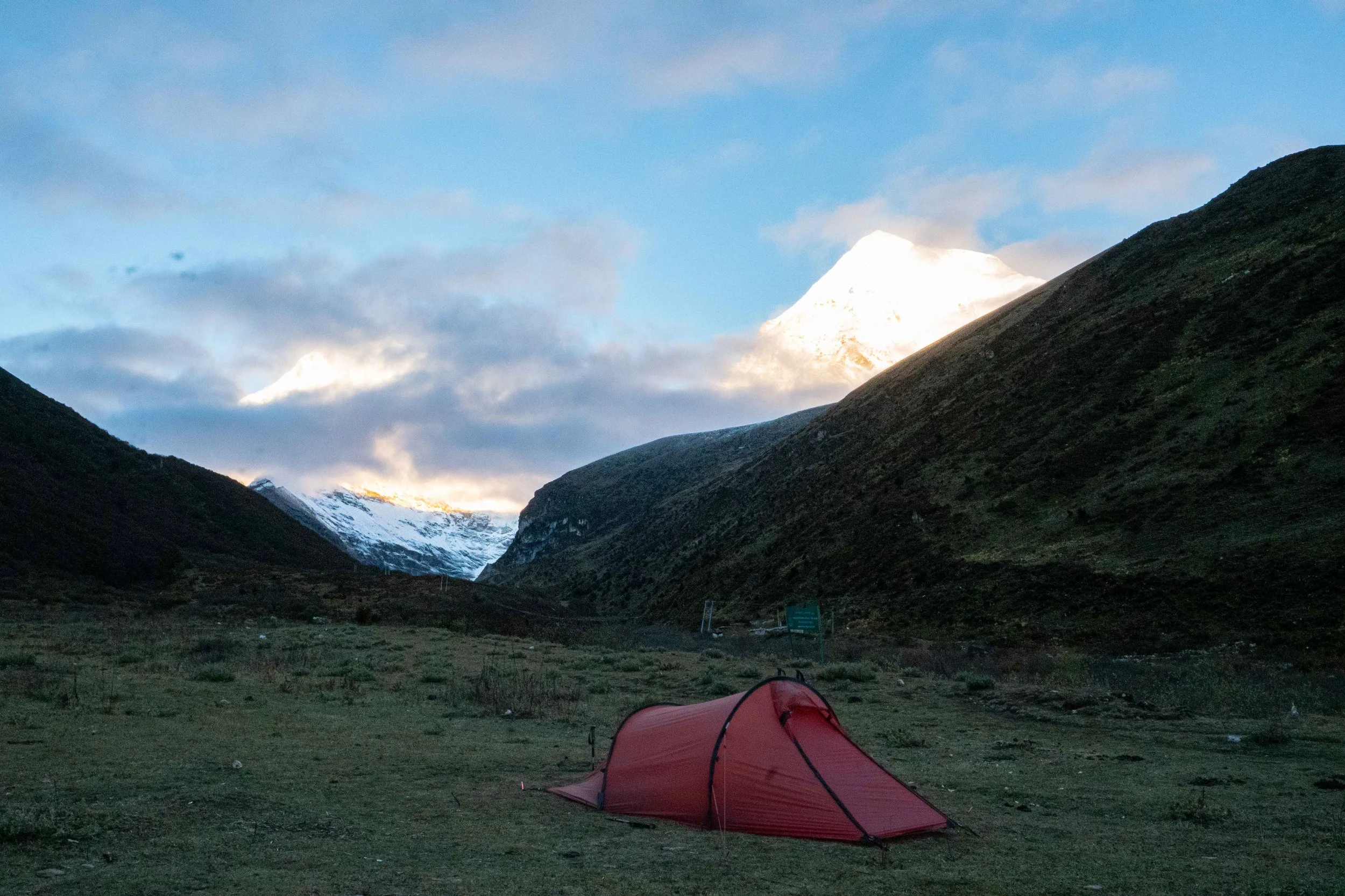
Anyway, we managed to sleep-in ‘till about 6:30. Nim had indicated we could get coffee around 7:30 so we stalled for a bit. Jomolhari was out in her finest, glowing in the early morning sun, so we ran around taking pictures to stave off the cold until hot beverages were available. Amanda also got to do some dog therapy. At Thang thangka there were about 4 or 5 dogs - not quite the Alabay's that had surrounded us in Tajikistan but still pretty big. These hounds, though, were very sweet and chilled with us as we were taking in Jomalhari. I think it was really good for Amanda to be back in the Himalayas and surrounded by these gentle semi-giants.
We got our stuff organized while waiting for the main breakfast to start. With the tent issue, I had left my camera outside and the cold had run the battery down so I only got a few pictures of the big mountain before the battery died on me so I set it on the Biolite battery pack we had brought while we waited for breakfast. Phub offered to move our table outside for food. It had warmed up quickly so we said yes. This morning it was muesli, egg bread and french fries. As we ate we observed a few of the other groups running around - there was the Dutch couple and then another couple that I guessed were German based on their mannerisms and clothing. Nim said he thought this latter group was doing the Snowman Trek.
After breakfast and trying to feed one of the dogs a french fry it had zero interest in, we completed our final tasks - brushing teeth, getting water, etc. At around 8:15 we completed our final activities - stretches and Strava initiation, before heading off in the direction of glimmering Jomalhari. And wouldn't you know it - who started 20 seconds behind us? The dutch couple. Hike your hike I guess but like, couldn't have one more coffee? Anyway, the trail picked up where it left off - along the Paro Chhu and for the first hour or so, it continued to be a river walk. One interesting charge started as the trees thinned out. I was a little disappointed yesterday by the amount of trash on the side of the trail. Lots of candy wrappers and bottles/beer cans. I get it, it's not the US or Canada or Europe but I had heard Bhutan was different and took really good care of their wild places so it was difficult to see so much garbage around on day one. Today was better though so I was happy to see a clean forest as we sprinted along the Paro Chhu, again trading spaces with the Dutch. We took a few small breaks around the hour mark as the trees began to thin. One really cool feature of the day was YAKS! As we broke out of the dense trees we started to see them everywhere. At one point, we witnessed a yak fight, two big bulls locking horns. We skirted around them, listening to the strange huffing sound they seemed to constantly be making.
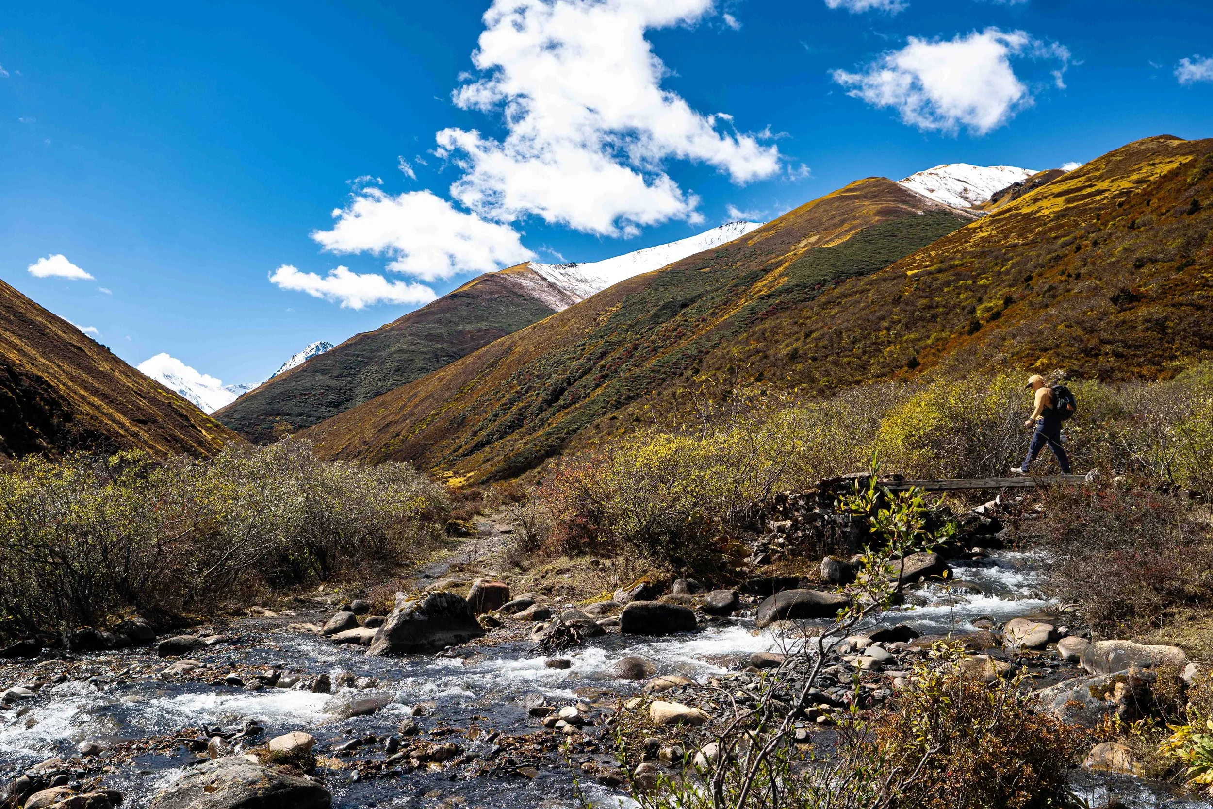
Amanda and I have been to the Himalaya 4 times now - Nepal in 2016, Northern India in 2022, Tajikistan in ‘25 (not technically Himalaya but close) and now Bhutan in ‘26 and no experience has been the same. Nepal is gorgeous and deserving of all the accolades (and critiques) it gets. The lowlands are jungle which transition swiftly through a small Eastern-Washington feeling tree-line into an awesome Alpine zone. Northern India was dry and arid but beautiful. Tajikistan was stark and unsettling - dotted with Junipers clinging to life and utterly lifeless up high. Bhutan is a fascinating mixture of dense Oaks and fir trees below treeline, transitioning to small, tamarack-like bushes in the sub-alpine that, this time of year, are all turning a brilliant yellow and orange. I couldn't stop taking pictures of these colors as we left the trees behind - it was gorgeous. The upper reaches had been kissed with snow, offering a crisp contrast in the upper - 3ʳᵈ of my photos.
An hour and a half in, shortly after the yak showdown, we took a break by the river with a front-row seat, looking up onto some beautiful, no name peak. After the short break we picked up where we left off and, on theme, so did the dutch who had stopped about 20 yards behind us for lunch. We stopped a little while on to strip off jackets we had donned during the break and they went by. At this point, I really didn't care anymore - there were so many good pictures to take. One thing I will say about this trek is…there are powerlines. One specific set, to be specific, that run from Paro to Lingshi along the trail. They are in every one of my shots just about. I don't mind - they can be removed post production but their presence constitutes an interesting ethical dilemma. Off-hand, it's easy to say "oh, they suck and they are ruining the vibe of the hike,” but there is a good reason that they are there. Nim has mentioned a few times that Bhutan really only opened up to western culture over the last 10-15 years. Before that there was no radio, no tv, no exposure to the western world at all. Bhutan was a time capsule, but that changed fairly recently and since that time the Bhutanese, only 700,000 strong to begin with, have been leaving the nomadic villages for the cities, and the cities out into the rest of the world at large. Bhutan's King noticed this shift and his peoples’ desire to live with modern comforts and had power run out to the nomadic villages in an attempt to make the traditional lifestyle more attractive and keep it alive as part of Bhutanese culture. The jury is still out on if it will work but it's one good reason why we have been walking next to power lines these last two days. Honestly it's no different than Markah Valley or the Fann Mountains. The Annapurna circuit is probably the same by now as well. I’ll just zap 'em out of picts later.
We followed the power lines into a little village, really just a collection of houses. There, Nim informed me that around 3000 people live around Soye, the village we were approaching, but many of them move back to the trailhead during the winter. We passed through the village and observed several new houses being built - a good sign that maybe there are some takers of the king's efforts to make the seasonal way of life more appealing. We left the cluster of houses behind and passed into a windy, open bench above the river. There was a surveying team working above us and we waved at them. There was also a CAT, just randomly up on the hillside above us. Nim meowed at it and it meowed back. We saw farmers harvesting wheat in clean, little fields down near the river. We passed around a corner and out of the wind and Phub set up a place for lunch. Today, we had fried rice and some ridiculously good broccoli & potatoes. There was also chicken but I skipped on that. The Dutch couple set up for lunch just past us. We had a long lunch today, just chatting and enjoying the mountains. Eventually, I did some yoga and we packed up. It was a little chilly as we left our lunch spot but I stuck with my baggies and sun-shirt. About a half mile on, we came to Soye - a really complete little village with a grocery store and kids playing soccer in a half-pitch in front of the local school - kinda a wild thing to run into at just south of 13,000 feet. The town itself sat at the bottom of an incredible cirque with an imposing, nameless peak above. We passed through Soye and Nim mentioned there would be a big festival here the following week for two days and that they were already setting up for it. He also said that, in addition to the power lines servicing Soye, the town also had a government run grocery store that sold helicopter-delivered goods at the same cost as those in Paro.
We left Soye and hiked on. We were close to Jomalhari base camp and were starting to feel the altitude a little bit though, honestly, doing very well for approaching the summit of Mt. Raineer. Nim suggested we take a "high-road" to the base camp which would put us about 200' above the camp before dropping us into it. We said we were up for it and followed him as he diverted from the main path and haphazardly zigzagged up an adjacent hill. We climbed for about 15 minutes and sure enough, saw Jomo/hari base camp complete with our little red tent below us. We set up on our perch for a few minutes before it started to snow. Nim led us on a merry descent which felt a little too close to our non-scripted adventures in Tajikistan a year earlier, before we reached the bottom, crossed a bridge and arrived at Jomolhari Basecamp. We dropped our things in the mess tent and then set about reconfiguring the Hillaberg. The head side was downhill again and had been placed in a depression. Amanda found a high point with a gentle slop falling away from it and we reset there. Nim came to help. Three minutes and we had it looking like it could weather the worst of the Himalaya.
From there, I got to charging and I set up the innards of the tent. Afterwards, I rejoined Amanda in the mess tent and Kaka made us some popcorn. I took a walk around after and found a good spot to get a sunrise time lapse on Jomolhari the next morning. Nim had indicated the mornings should all be clear and the mountain should be out in the AM.
I came back and had just started writing up the day's events when Amanda told me to come look at another Yak fight. True to her word, there were two massive bulls going at it. That was the cool part. The not so cool part was they were locked in an epic struggle about 10 yds from our tent and pushing each other far further than that with ease. Some of the shepherds and our team members had put themselves between the battle and our tent but about 10 minutes in, with the two half-ton critters edging closer, I took the chance to move the Hillabing out of the splash zone. The Yaks fought for another 20 minutes before a third elder Yak came down from the hillside and his presence seemed to break them up. We reset the tent a second time and then went to eat. Dinner was Fish, Red Rice, and Momos - super good, even the fish. After dinner, I went and got water from the river and then finished writing up the days happenings before turning in to our twice repitched tent.
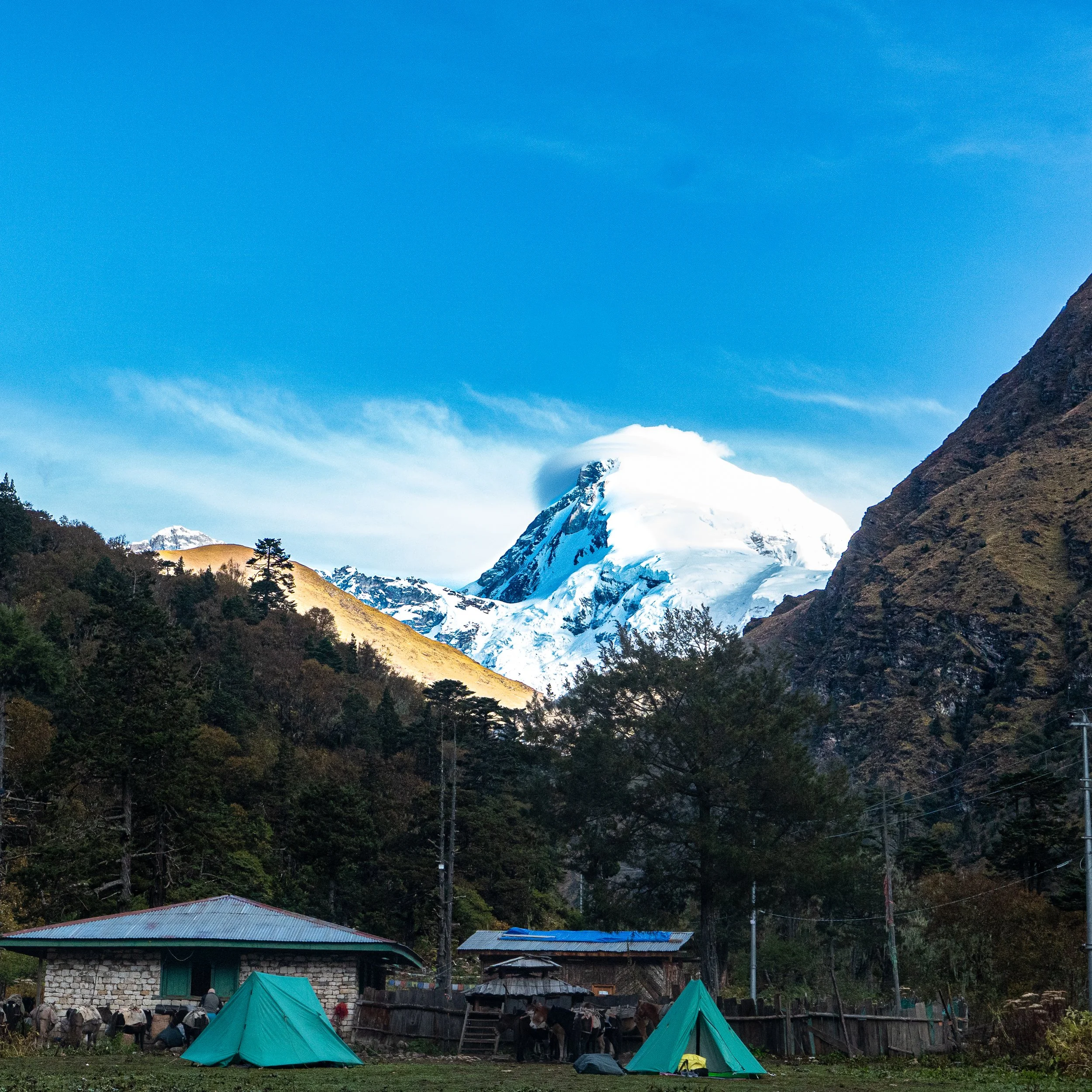
Early morning peek at Jomolhari. Looks like a nice ramp to the summit!
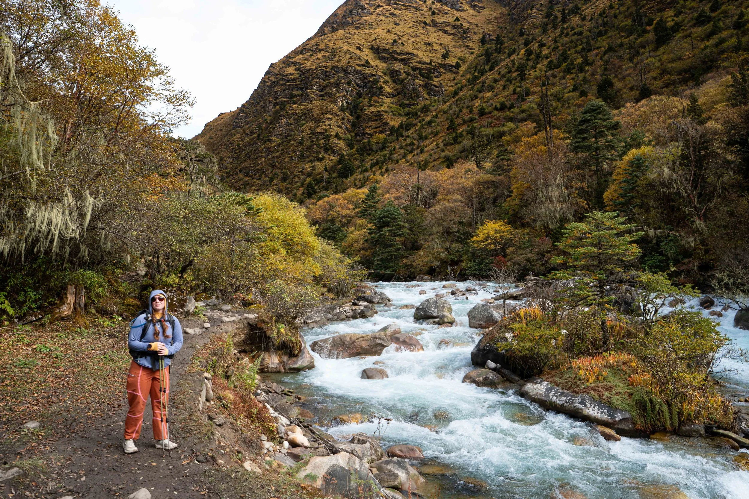
On our way out of camp with the Dutch on our tails
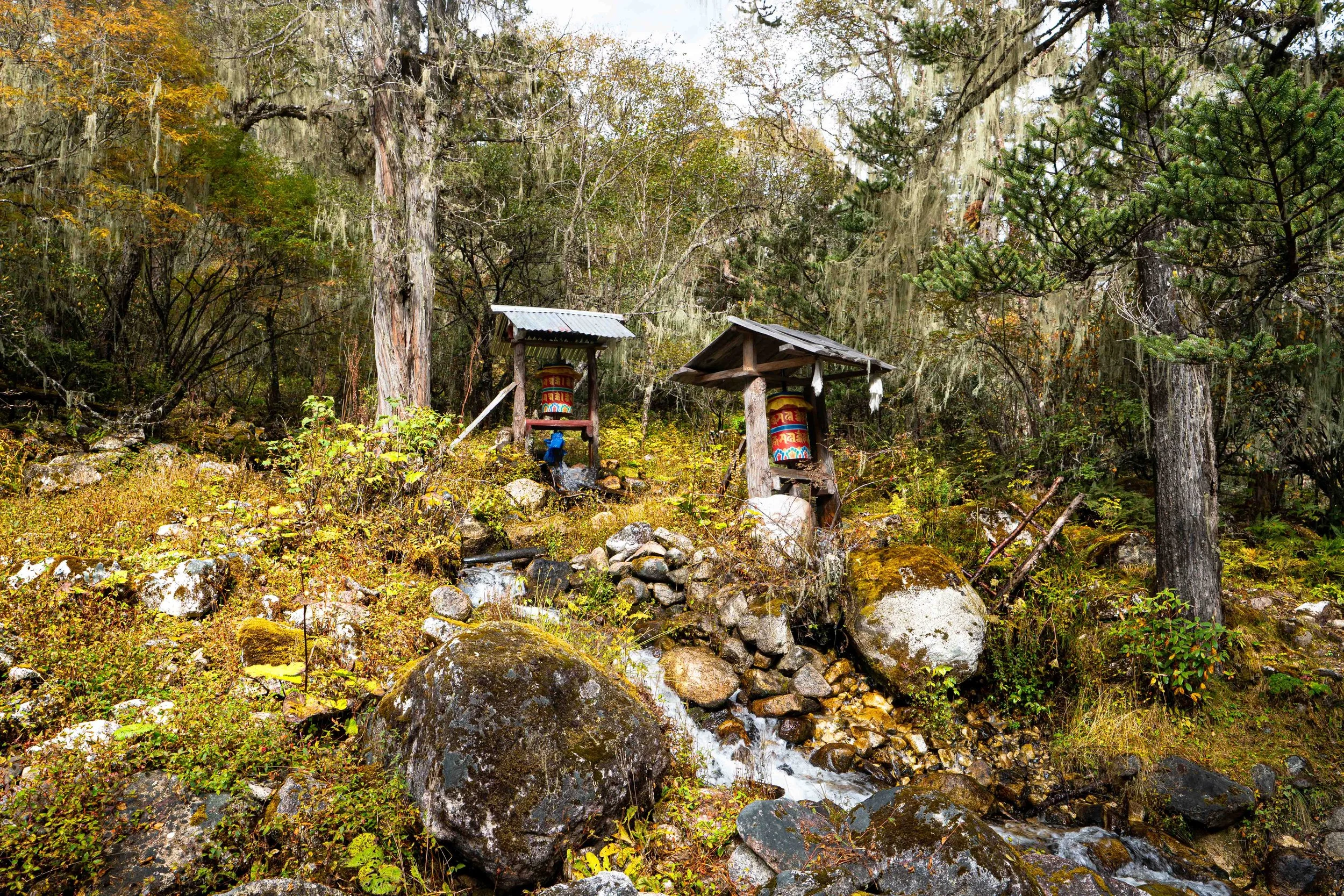
Water-powered prayer wheels
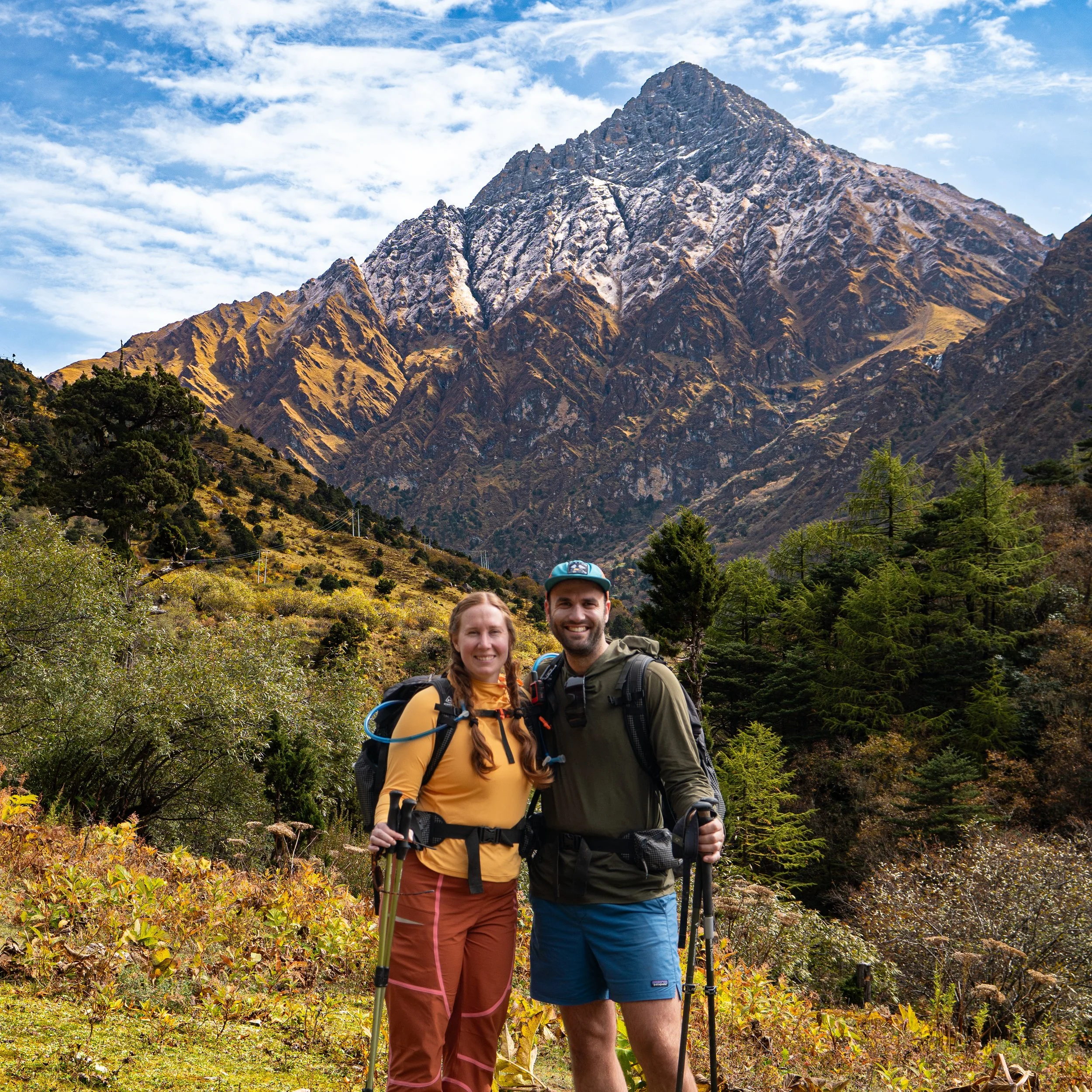
Amanda matching the Fall colors perfectly - as expected
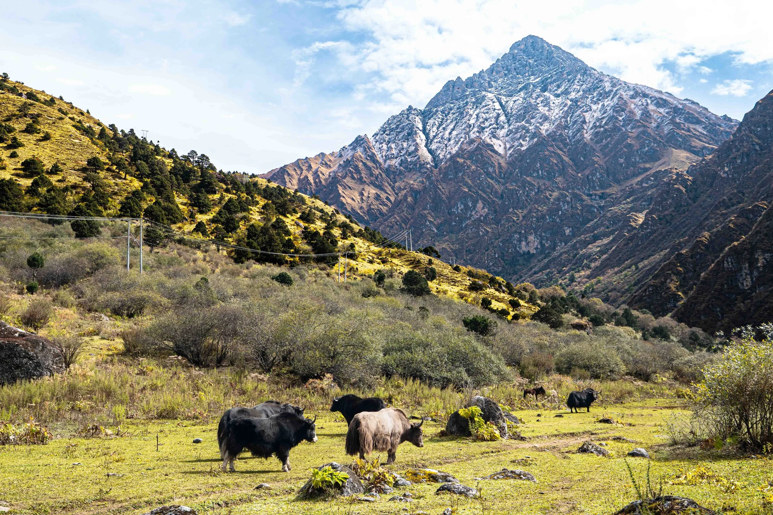
Yak attack!
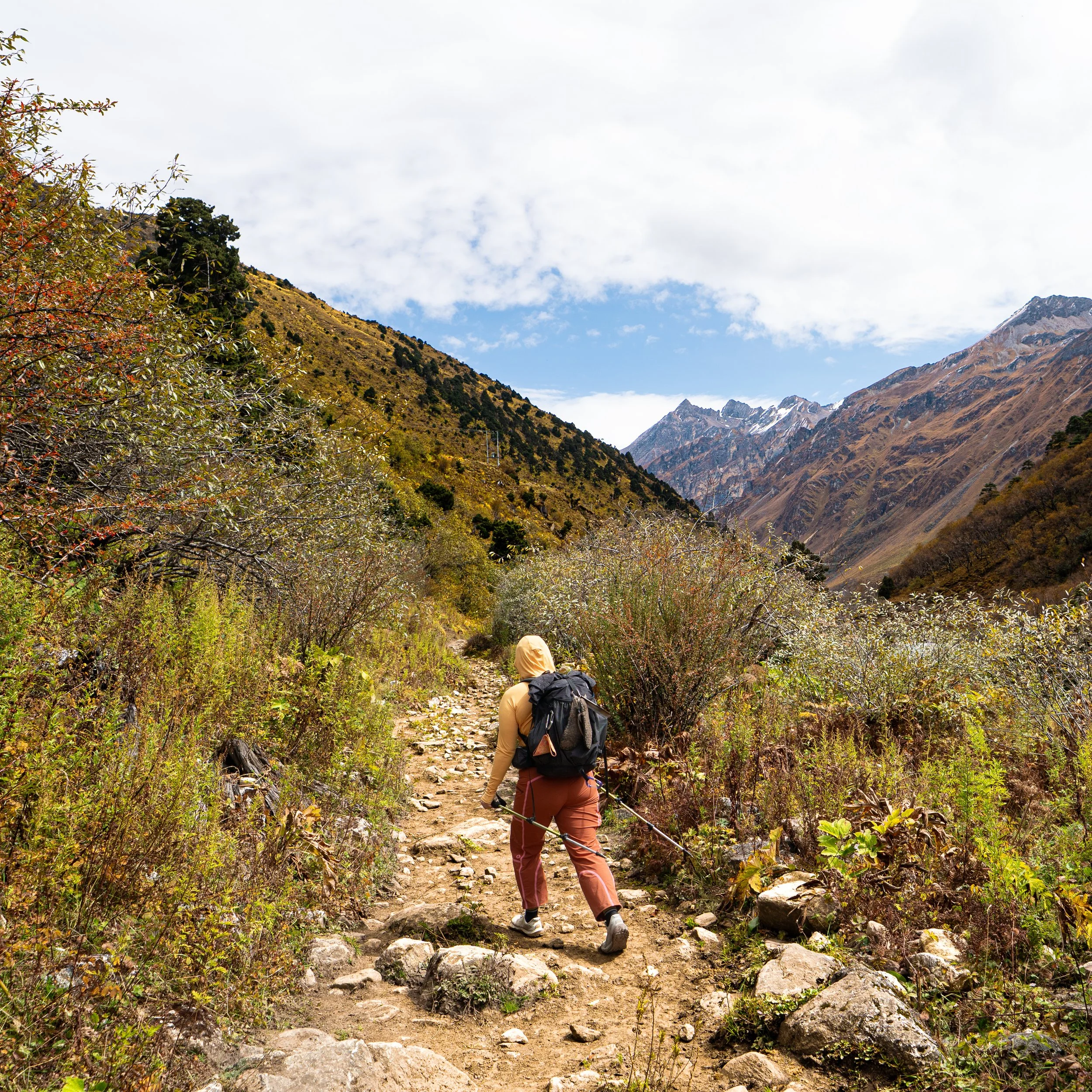
Heading up the valley!
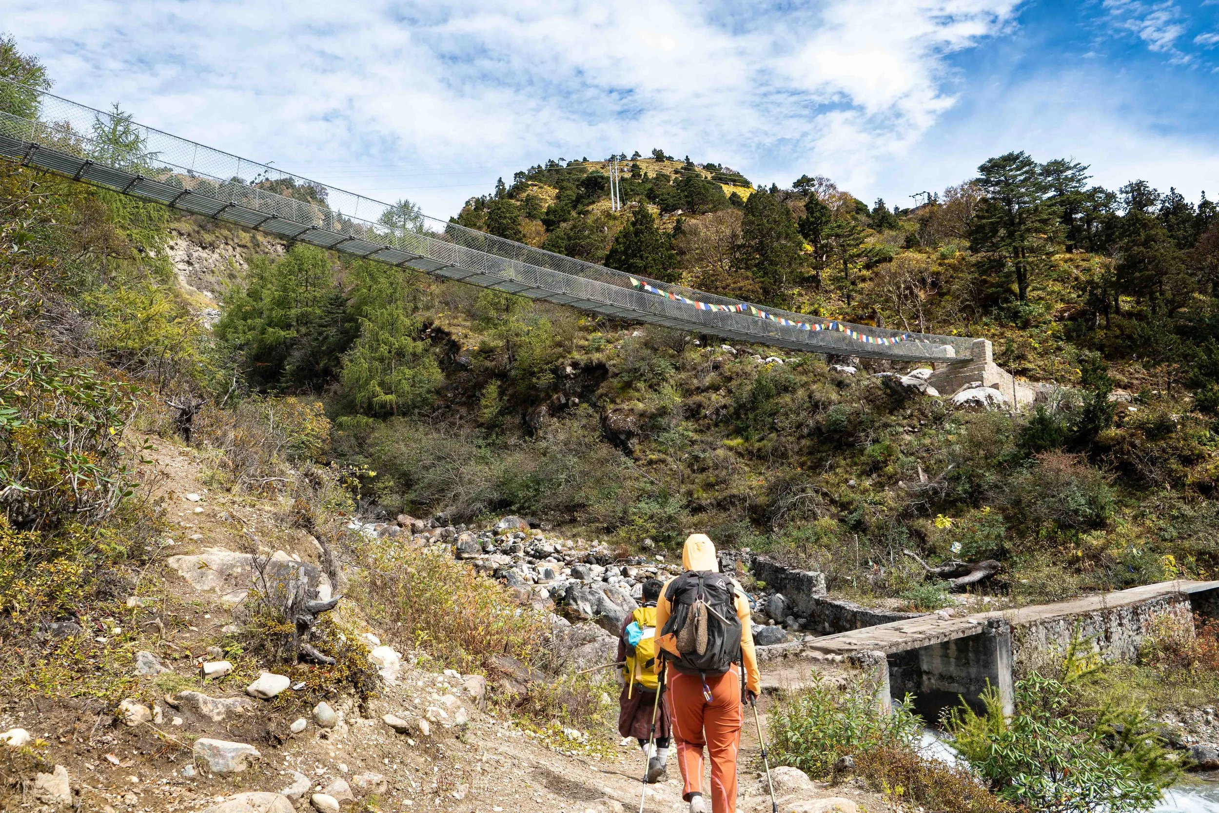
More bridges!
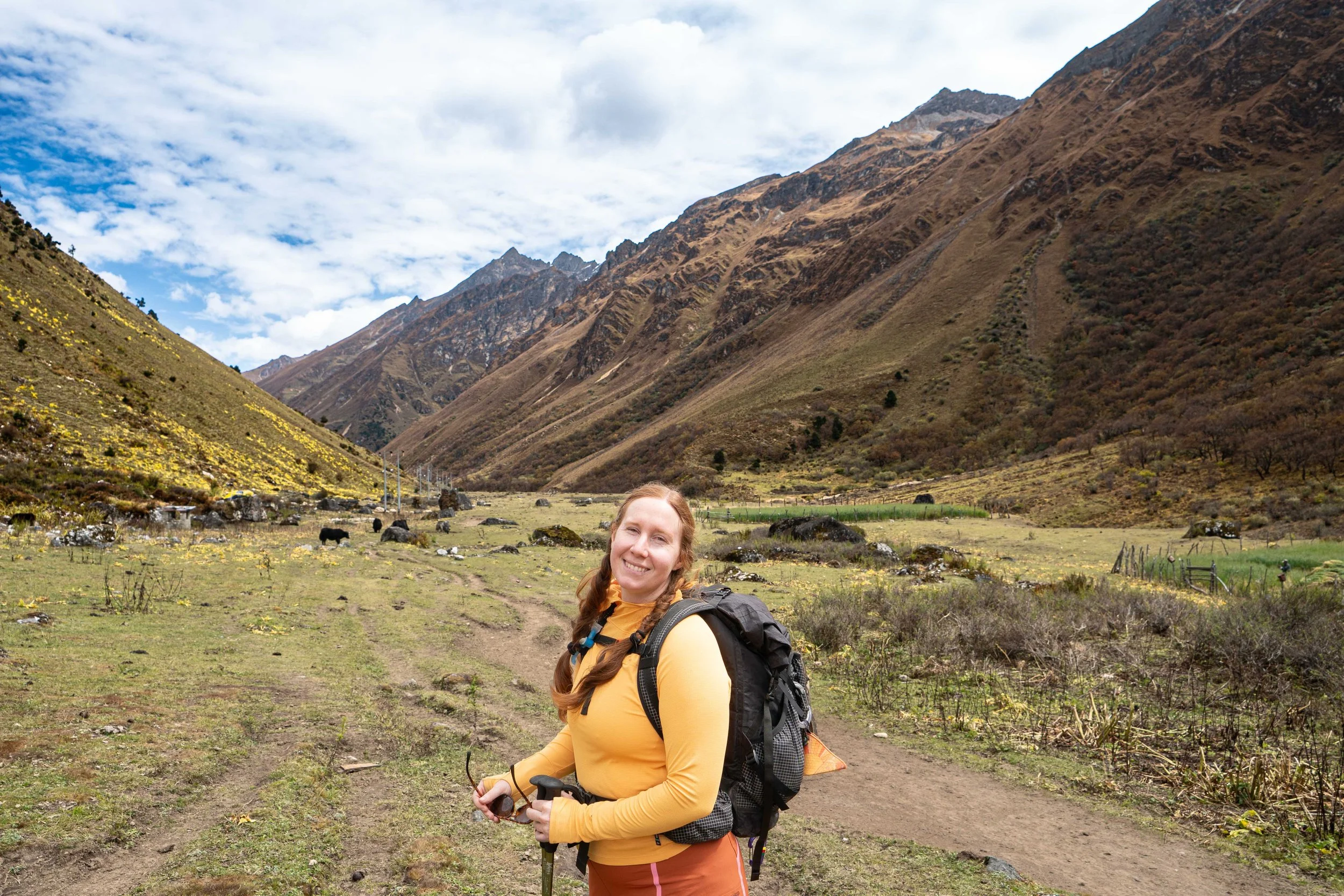
All smiles so far!
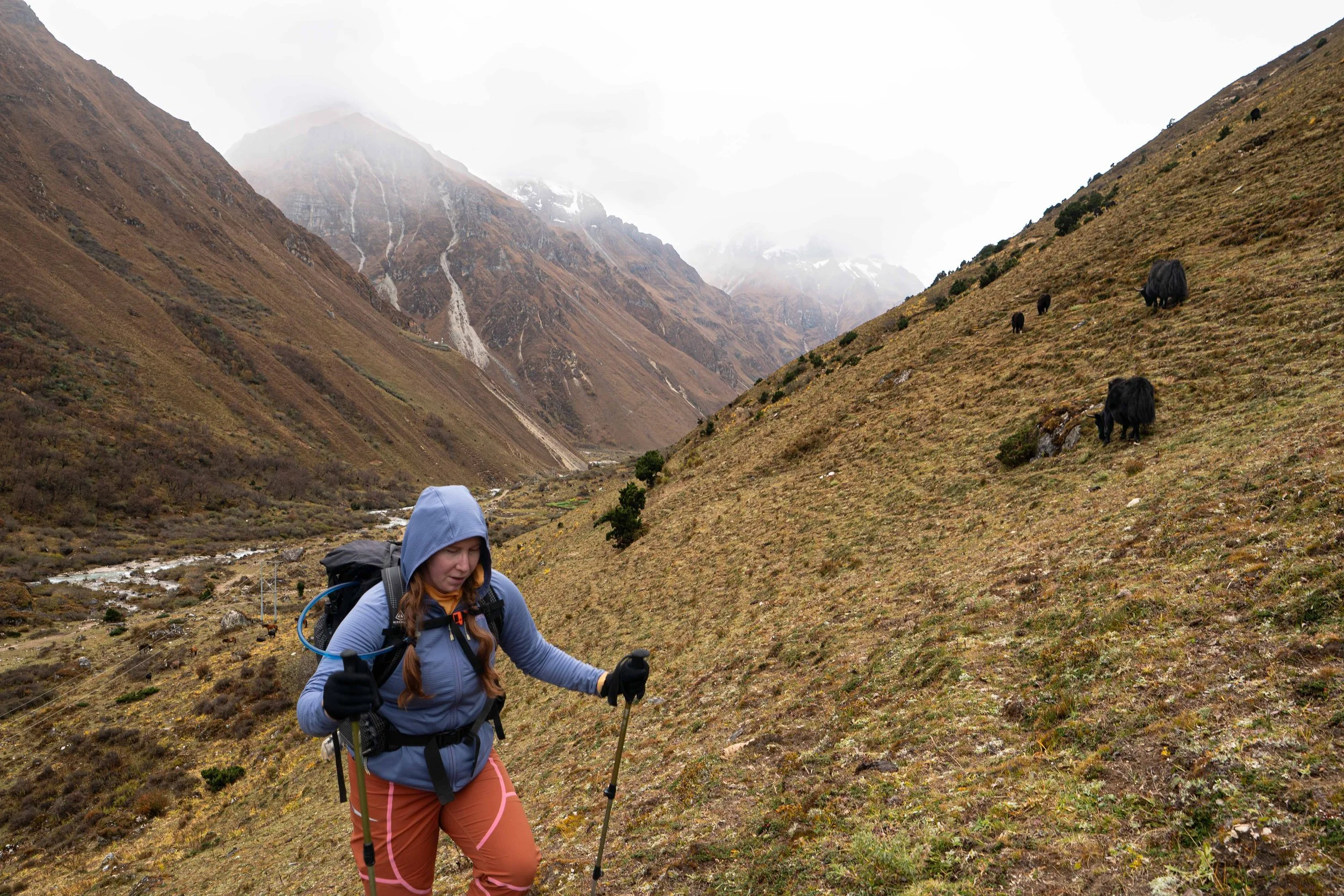
Little extra altitude to really get acclimatized
Quite the morning view!
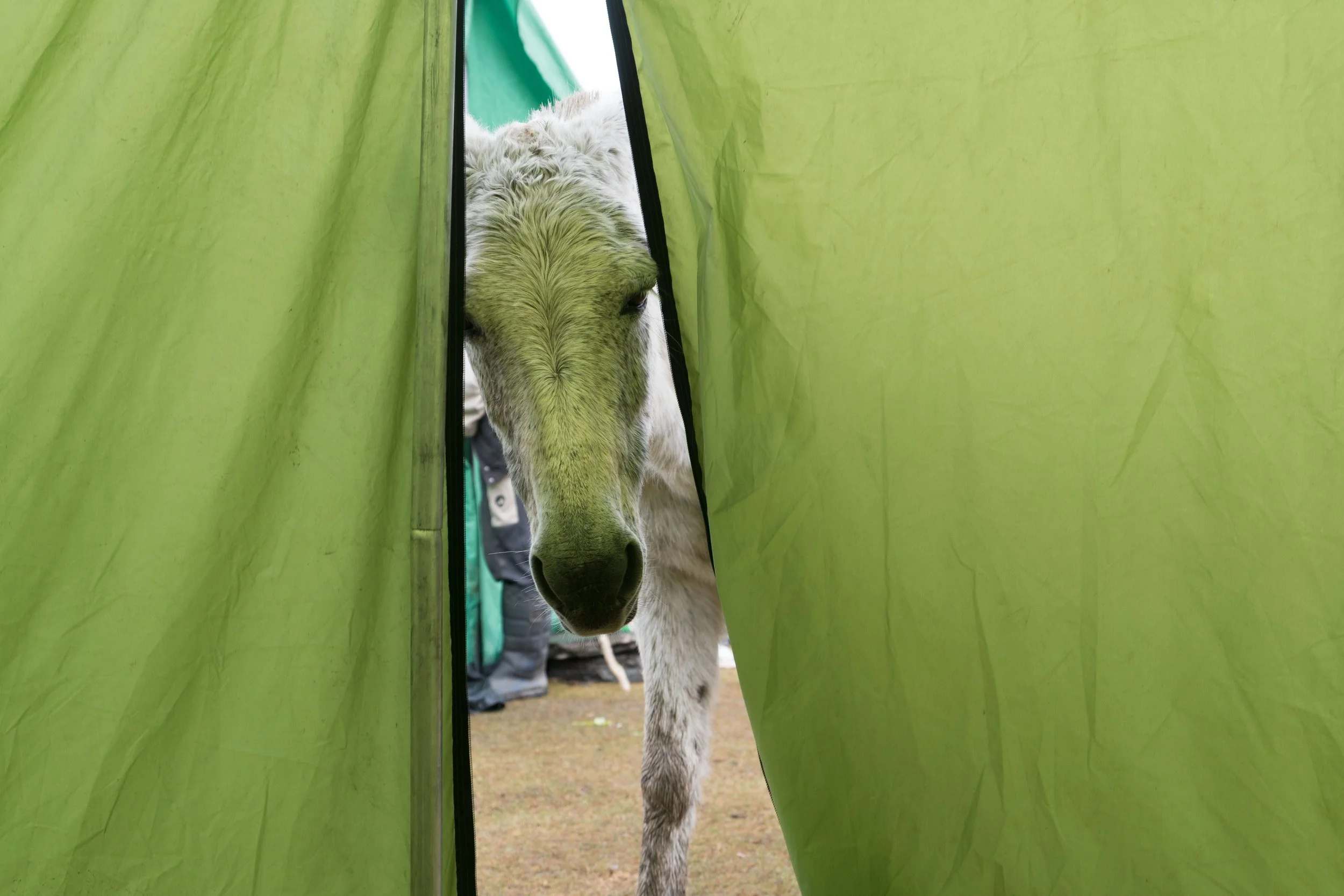
Morning visitor! Looking for snacks!
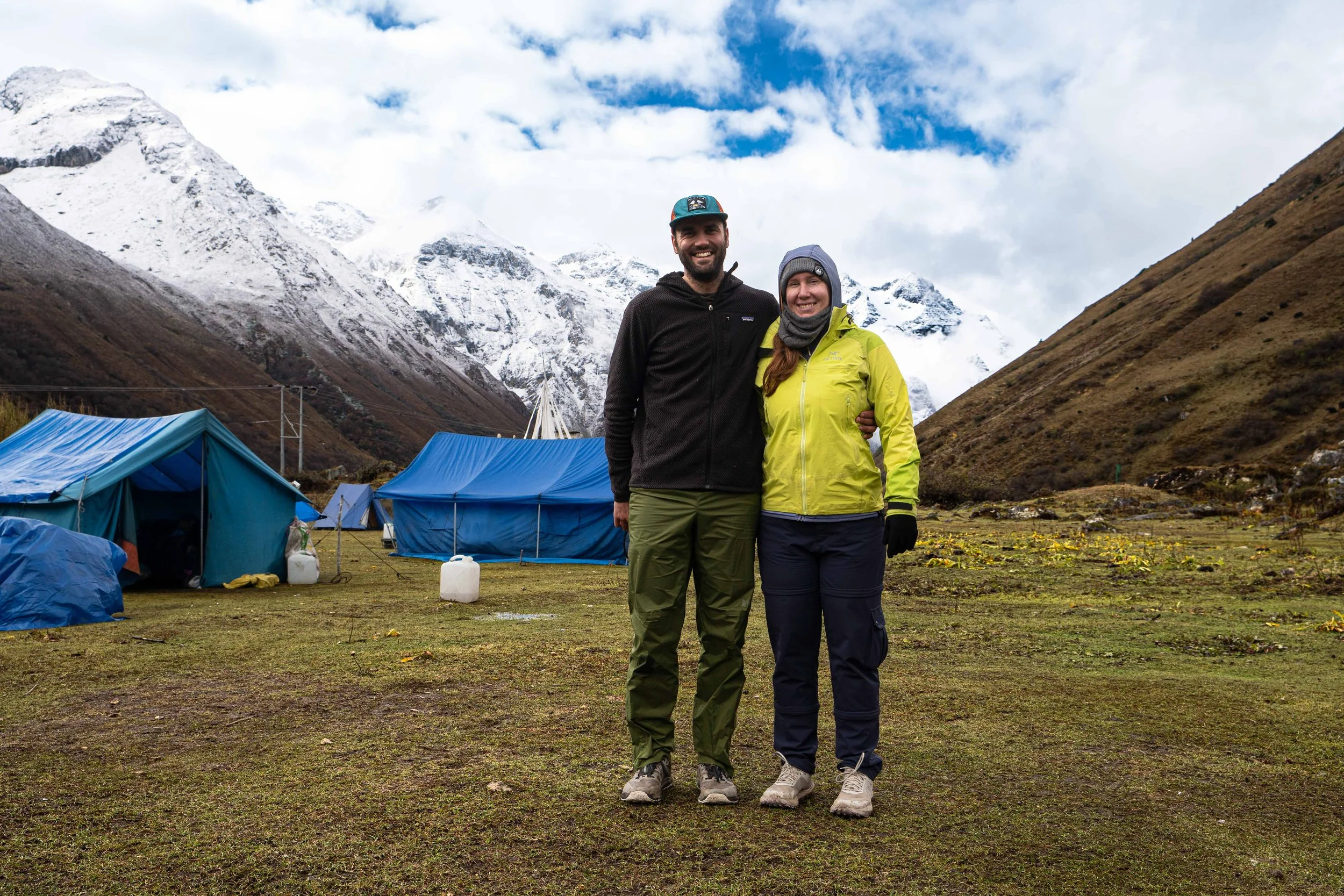
Breaking clouds at Jomolhari Basecamp
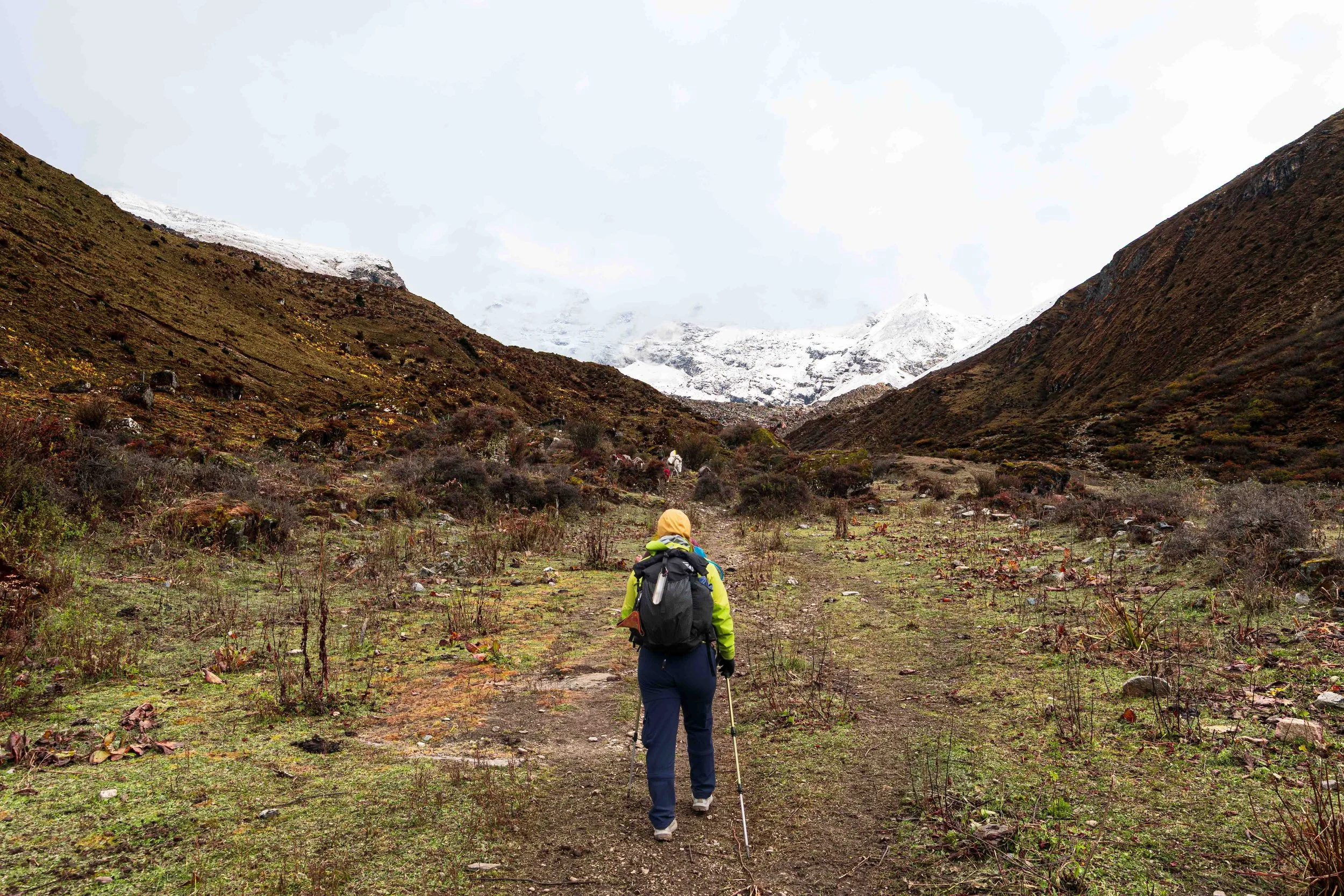
Heading up to Twin Lakes.
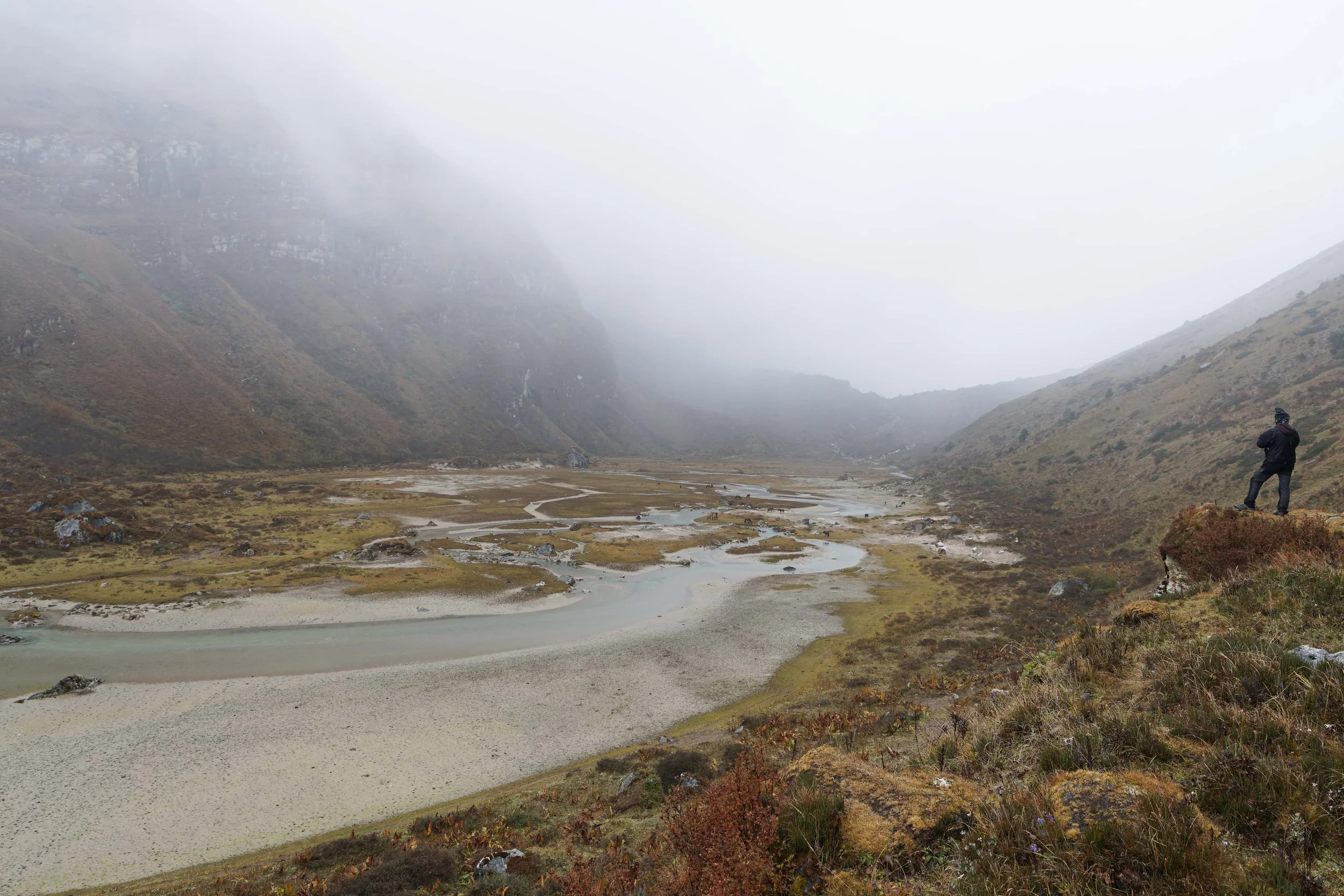
Nim looking into the mist.
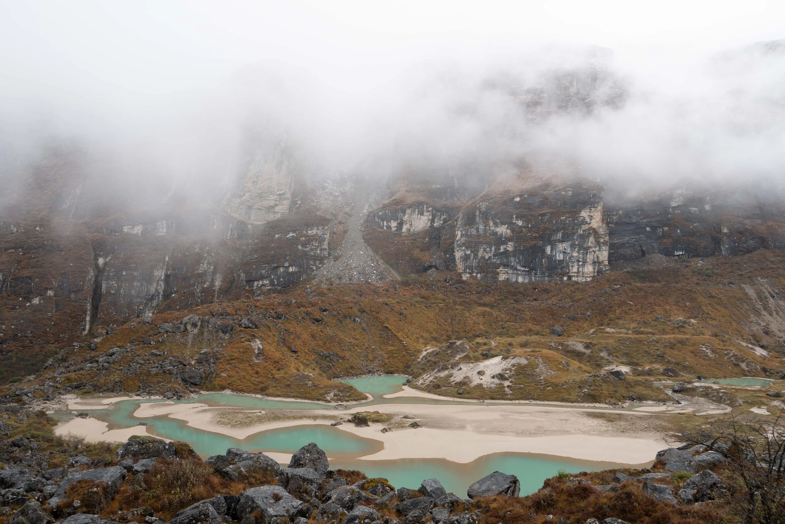
Outflow from the Jomolhari glacier
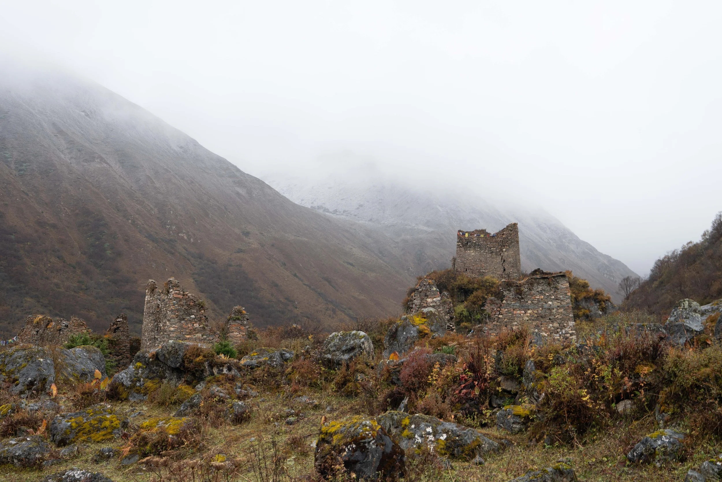
Old fortress at the outflow of the Jomolhari glacier.
Day 3: Jomolhari Rest Day
October 9th, 2026
There was a war last night. The yaks had been driven from their highland home the evening before but, in the small hours of this morning - they retook the high ground. Only one problem with that. Our tent was right in the middle of their causeway. Yaks make a distinctive "huffing" sound that sounds eerily like a bear's, and at around 12:30 am that's all we heard, all around us. The local shepherds tried to cast them back into the valley - whistling and throwing sticks in the darkness but all to no avail - the yaks persisted. Every time a yak was vanquished we would just begin falling asleep when the huffing would return as a new yak made its way up to Jomolhari camp. We might have persisted in the Hillaberge had we not watched the yak death match the night before but, as it was, we knew how much damage they could cause so, at around 2 AM, Amanda said enough. The mess tent had been pitched against a stone wall backdrop, offering some protection from the beasts, and we retreated there. Sleep wasn't much better but I was able to get a few hours of shut-eye before the sunrise.
So, needless to say, I felt like shit the next morning as I pounded down Starbucks via packets. It was the kind of terrible sleep you can still feel even through the artificial glow of caffeine. We sat in the tent we had migrated to in the night, hollow-eyed and staring at each other. Breakfast came and we felt a little better after some warm fry-bread and delicious egg, onion and cilantro fritters. After breakfast, we made use of the classic squatty potty and resigned ourselves to the day hike we had agreed on. We were supposed to go up to Twin Lakes, which sit at an altitude of 14,500'.
Nim led us out into the morning light and we soon crossed over the Paro Chhu. The ascent on the other side was steep and we soon slowed dramatically. Six nights without any good sleep was wearing us down. The altitude wasn't helping either. We crawled up the grade, eventually breaking into a hanging valley dotted with the slow-moving forms of yaks. The drizzle had turned to a blowing snowfall as we made our way further up. After a short foray into the valley, Amanda picked a spot to turn around saying, and I quote, “I've done lots of hard things, I don't need to do this just for the sake of doing it." We picked a spot with a good vantage point and sat and ate. Everything was wet so none of us sat for very long. I was chewing on my chocolate chip chocolate cliff bar when I got a little extra "crunch" that shouldn’t have been there. It was only after we packed up and were heading down that my tongue found the gap in my lower right molar where my shallow filling had fallen out.
We descended quickly and were back in camp just before noon. Phub had moved our tent to what we hoped would be a more yak-proof spot. We took naps then, having told Nim we were going to try and recover the sleep deficit that had been growing for some time now. Of course, the second we laid down the sun came out and superheated the tent to like 90 degrees. Amanda managed to sleep but I just layed there, baking. We had lunch at 1. It was a delicious noodle dish with a carrot, cucumbers and red onion salad. While we ate, a formal looking research team came by. Nim told us they were from one of the colleges down near Thimbu and came up on a regular basis studying Snow Leopards, one of which they had seen in the drainage that the Jomolhari basecamp sat at the base of.
After lunch, Nim and I went on a second day hike up to the thoroughly obscured Jomolhari glacier. We started up the steep east side of a valley, driving my lungs to the max in the thin air. I was trying to figure out why Nim was taking us up so steeply instead of following the river in the center of the valley when I remembered he had been tracking some blue sheep high on the hillside just before we had left and probably wanted to get closer to them. We screamed up about 1000 feet before starting to traverse the upper reaches of the valley. Soon, we spotted the herd of about 30 blue sheep, bedded down about 400' above us. We looked at them for a while through our binoculars while Nim explained the other reason for traversing the valley this high - he was hoping to catch a glimpse of the same leopard the team below had seen a few months ago. From there we stopped every 2-3 minutes and scoured the upper reaches of the valley, looking for the shadow cat. I knew chances were basically zero; people go their entire lives looking for and never finding these extremely shy animals. Still, it was fun to look. We made our way slowly for about an hour before we reached the toe of the main Jomolhari glacier. Here we stopped and took some pictures. Everything was still very obscured by cloud cover, which sucked, but at least it was on our rest day.
After about 20 minutes we started back, taking a more direct route down. The snow started blowing again, as it had been doing on and off all morning. We crossed a few hanging valleys, Nim giving me a piggy-back ride across a stream at one point, and then went down through the main drainage back to camp. My shoes were soaked by the end but it had been a lot of fun looking for leopards. Contrary to what should happen while descending, a headache had started developing as we moved lower. By the time Amanda and I had sat down for dinner it had developed into a classic, excruciating altitude sickness maelstrom in my head. I couldn't move without feeling like an ice pick was going into my brain. Once dinner came I basically ate quickly and stormed off to bed at 6 pm. The Acetaminophen I took slowly did its work over the next hour and, once it had, I quickly passed out.
Day 4: Jomolhari Base Camp to Lingshi Camp
October 10th, 2026
Sleep, when it finally came, buried me. From 6 pm to about 2 am, I slept like the dead. There were a few Yaks, but nothing like last night. At 2:30, I fell asleep again and remained asleep ‘till about 5:30 when my bladder forced me out of bed. It was exactly what I needed. The shadow of a headache remained but very faint.
We had coffee and tea while waiting for breakfast. I wrote and Amanda read. Breaky this morning was fried eggs with bread and what I think was spam. All super good and very much appreciated. After our meal we were antsy to get started. I had packed up everything in the tent already, so we got our backpacks organized and did our stretches outside before kicking off.
The trail started as a gradual incline on the northeast side of Jomolhari basecamp and the sun came out as we departed, illuminating the Jomolhari river valley below us. We cruised up the hill past yesterday’s turn-off and a few buildings and paddocks. Shortly after we reached the head of the valley and were forced down to cross the Paro Chhu, nearly at its source. The crossing was a little tricky - the bridge had washed out and a 2×12 board had been hastily laid across as a make-do replacement. I got some shots of Amanda crossing and almost fell off on my attempt.
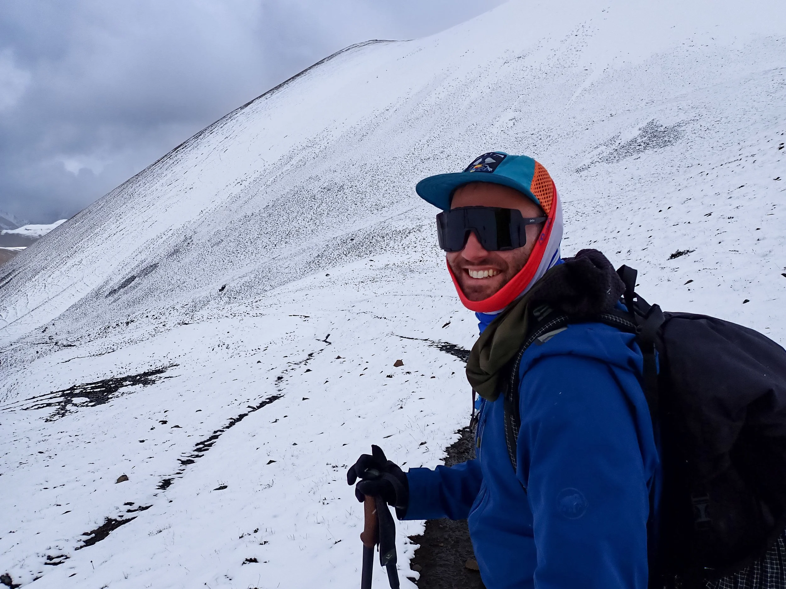
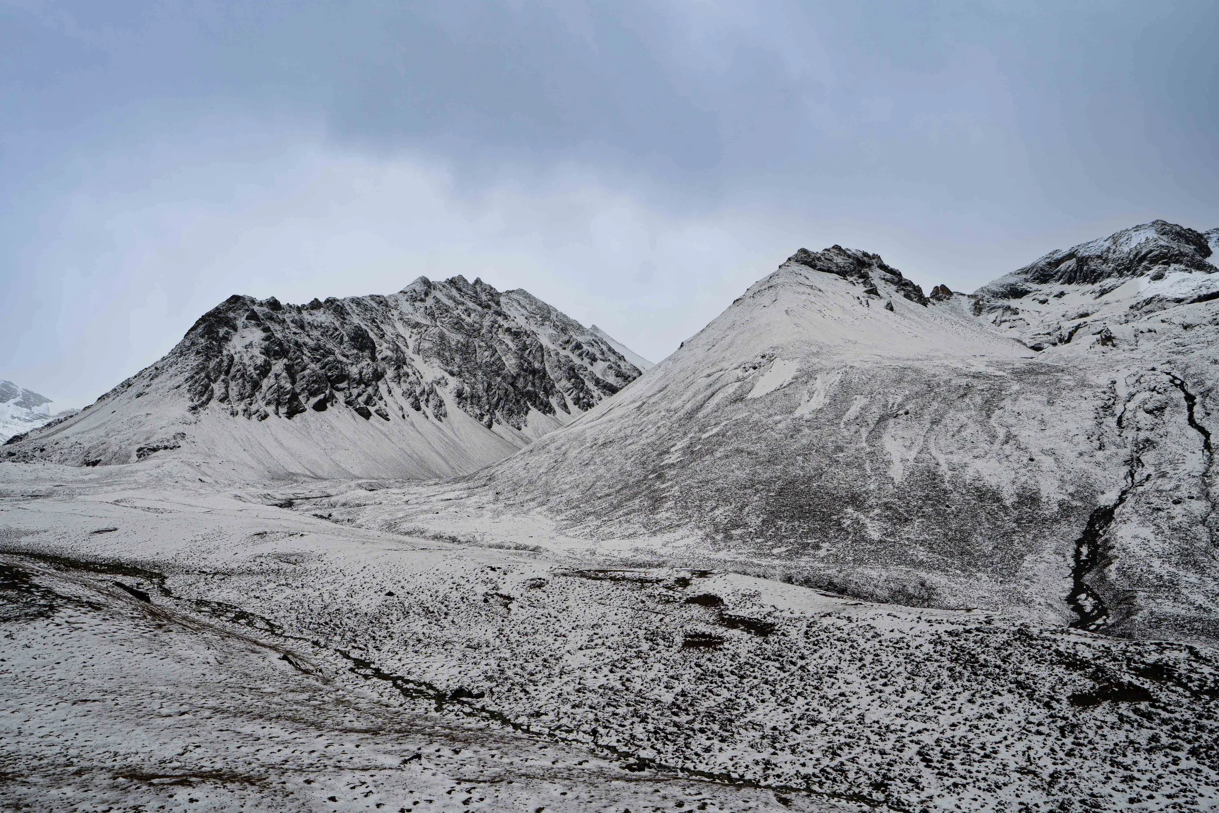
From the bridge the trail turned steeply up. We were basically climbing the same headwall as our day hike the day before just one hanging valley further down. We crawled up the ascent, doing a little better than yesterday given the better sleep we had gotten the night before. The headwall eventually gave out into its hanging valley beyond and we enjoyed a much more mild gradient. We cruised up the valley. Amanda, with her eagle eyes, spotted a large herd of Blue Sheep high up on the upper slopes of the valley and we broke out the binoculars to see them better. I had hoped the clear weather was going to hold - we had yet to get a good look at this aspect of Jomolhari but, alas, it was not to be as 30 minutes after the sheep we were walking in near blizzard conditions.
We continued on up the long valley. At one point I spotted a marmot and called it out to everyone. Our horse team caught us and continued on up and Nim, Phub, Amanda & I stopped for a snack. One thing you cannot do at altitude is let your lack of a hunger keep you from eating. That's how bonking happens. Our pace started to slow towards the end of the valley. Despite the days at altitude and our day hike yesterday, we could still feel it. No headaches though, so that was good and no nausea.
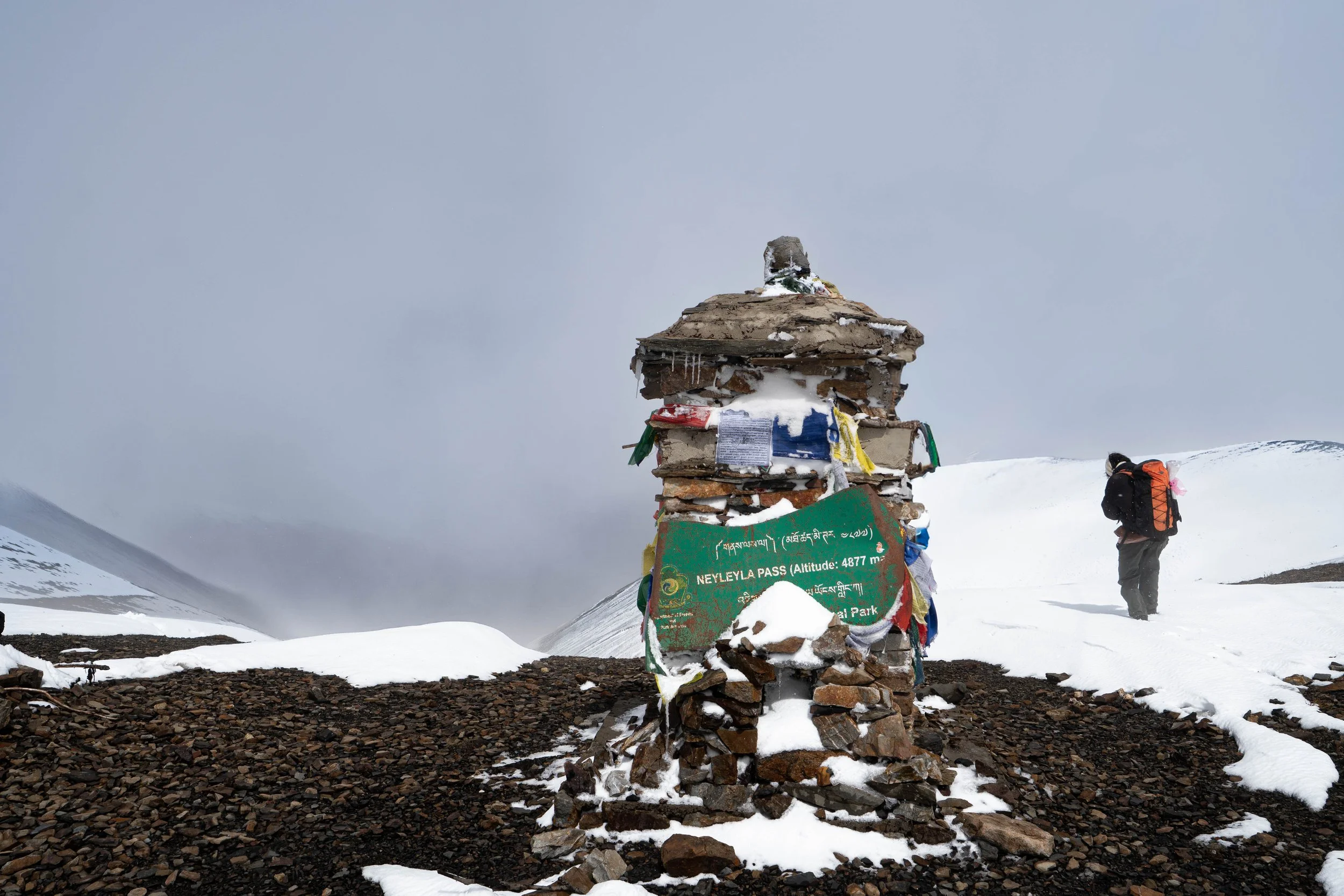
At the end of the valley we notched up into a higher, smaller valley which had a small shelter aaaaand…a toilet. As it just so happened, I needed to go - so, I got a good brown blaze in at 15,400ft! We got another small snack in. Amanda chowed down on some gold fish and we got back under way. We had about a mile and a half and 500’ up to go. The last bit of climbing made us earn it through. We cruised to the end of the little valley and then committed to a stout climb up to Neyley La pass.
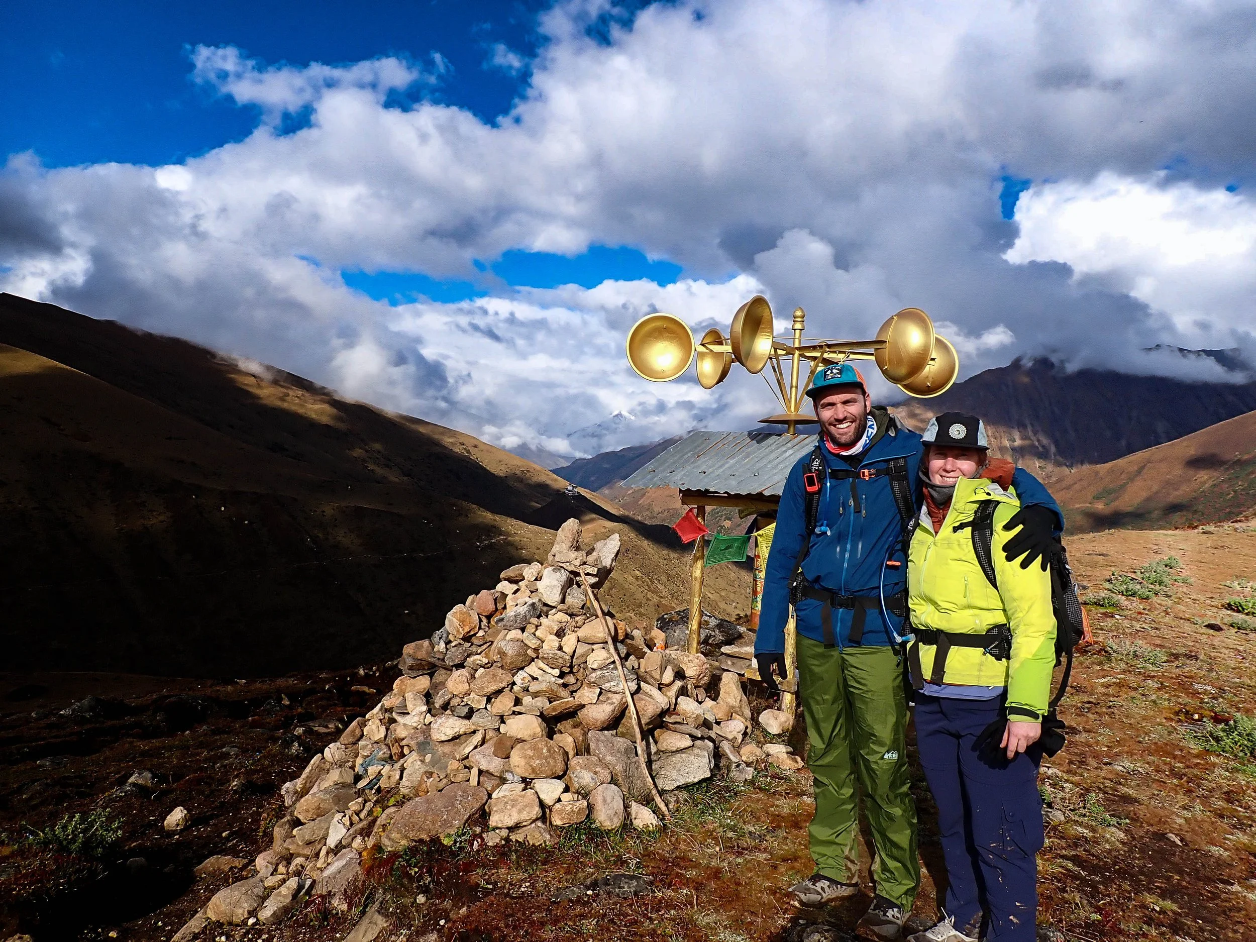
At the top we took quite a few pictures. The weather was kind enough to clear a bit for us and we could see some of the immediate peaks though, Jomolhari was still shrouded in clouds. After the photo clinic we started down. The east side of Jomolhari is only a little steeper than our ascent and we made good time. A horse team from Lingshi came up and we said hi to them before continuing on.
The blizzard started up as we passed back around 15K feet. We considered stopping in a couple spots but with the snow as thick as it was we opted to just keep going. Finally, we reached a little concrete shelter which offered some sort of a wind-break and forced ourselves to make lunch there. We laughed as we tried to enjoy spinach, cauliflower and rice with snow pouring in from the sides. While eating, Nim pointed out a Raven on the power line, informing us that it was the national bird of Bhutan.
After lunch we continued down. The snow soon gave away and we cruised at a moderate grade for about an hour, along a beautiful ridgeline above the Moo Chi river. Just before our final descent, Phub spotted a fox and we pulled out our binoculars to spot it. It was a classic red fox - right out of The Fox and the Hound. We watched him for a while before heading down.
The mountains started to come out on this final descent through thick oak trees and we stopped in several places to try and get some shots. At the bottom, we were delivered to an open meadow where we found our tent well pitched and a bowl of popcorn waiting. I took some time to organize my things and found my missing GoPro battery that had fallen to the bottom of my backpack.
We read and wrote for a while, then talked with Nim over dinner. Evidently, this little town we are camped out beneath - Lingshi, has 5000people living in it year round, completely unconnected except by horse & helicopter. After dinner I wrote this and tried to get my Sony Alpha to take a charge. It's SUPER temperamental in the cold and so is the BioLight battery pack i’ve brought. I then escorted Amanda to the bathroom because there were some dogs running around, before heading to bed.
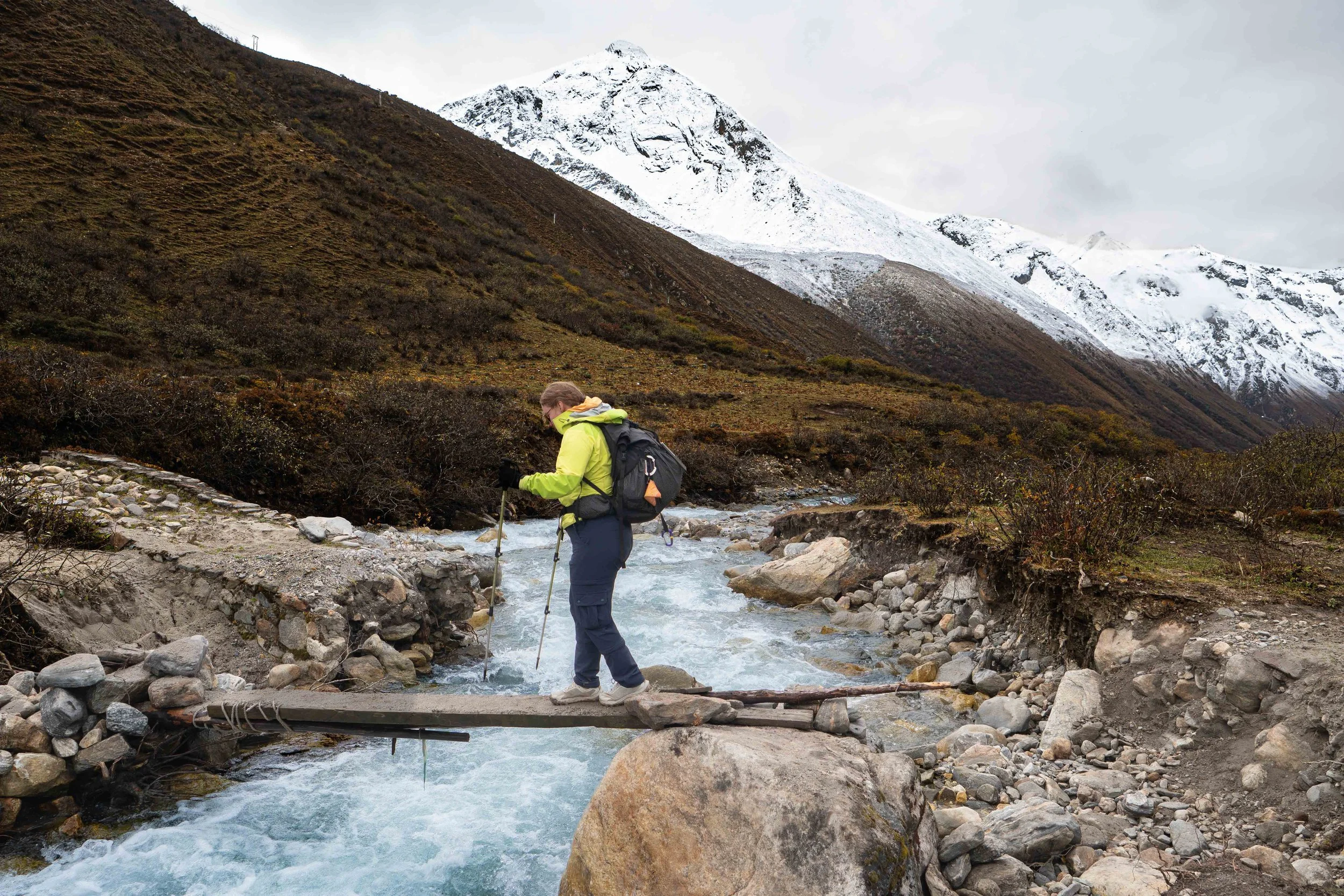
Crossing the haphazard bridge.
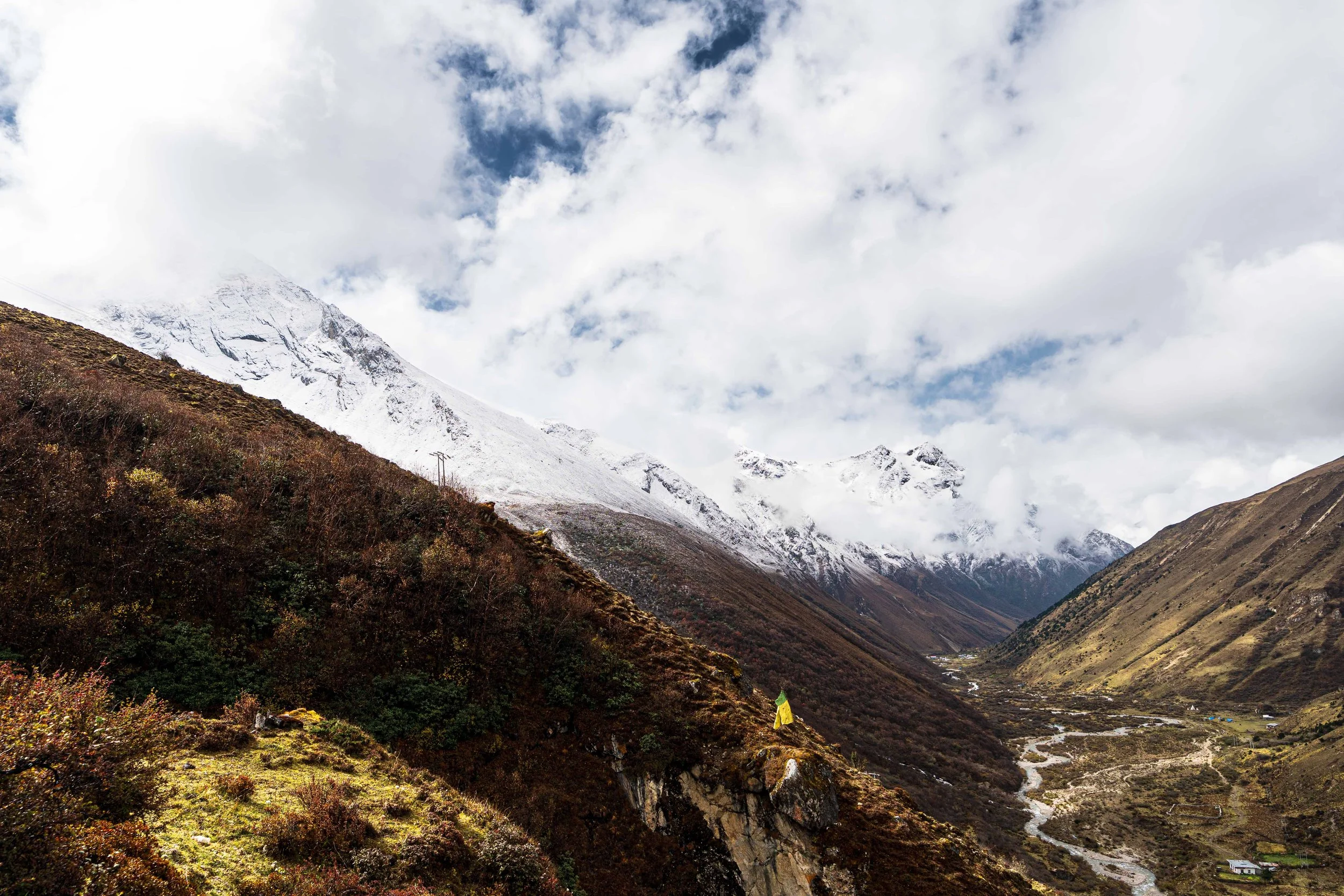
Looking back down on the Jomolhari River valley from the headwall
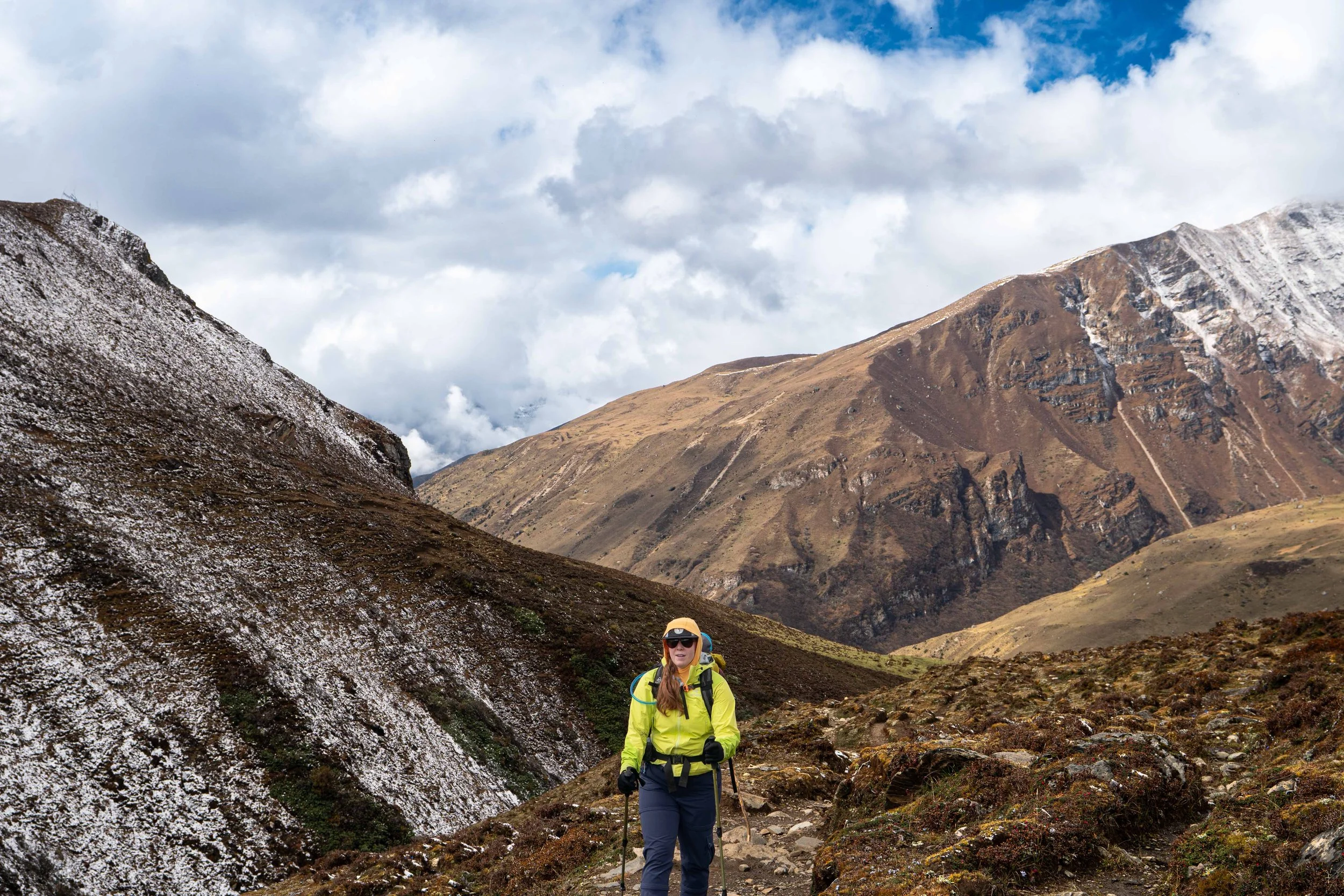
Past the headwall and into the valley
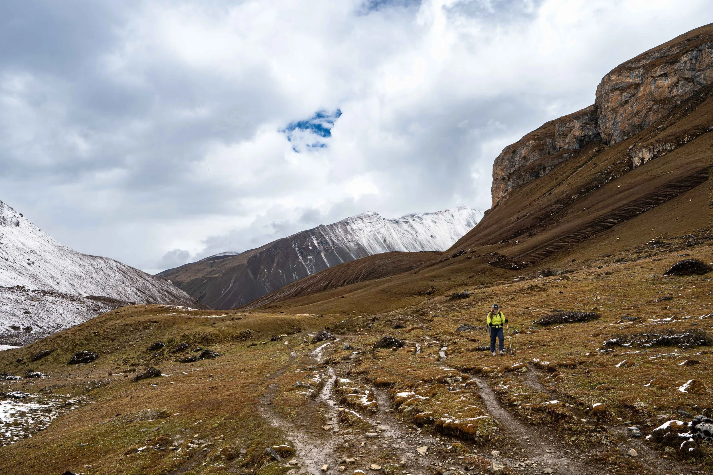
Chasing sheep further into the valley
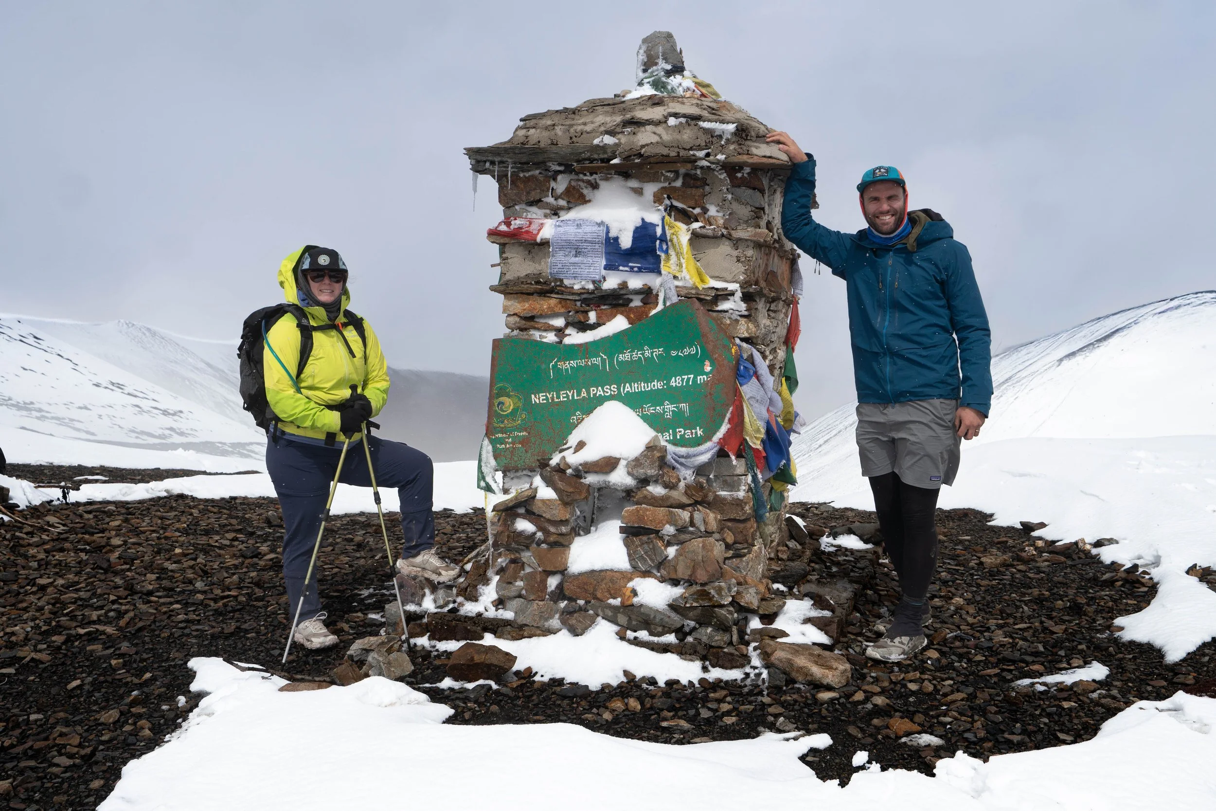
At Neyley La Pass
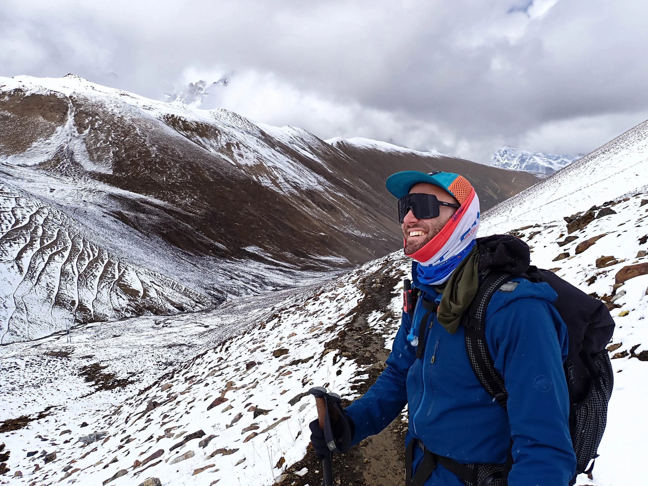
Looking back at Neyley from the other side. Getting some O2 back!
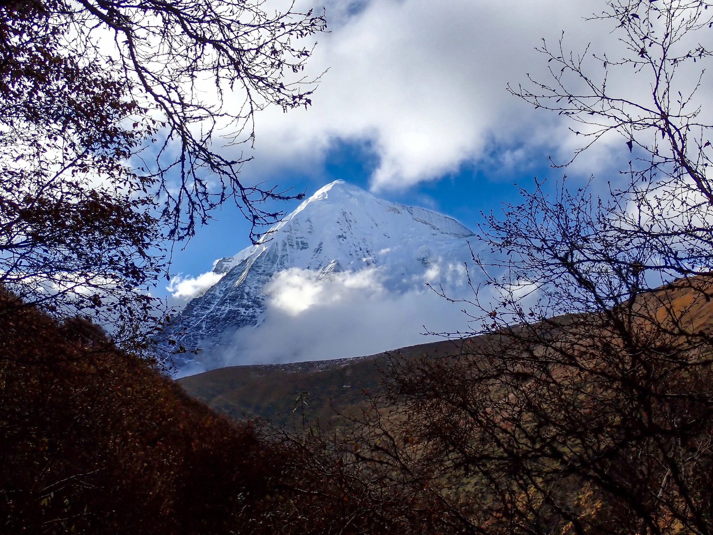
Mountains coming out at the end!
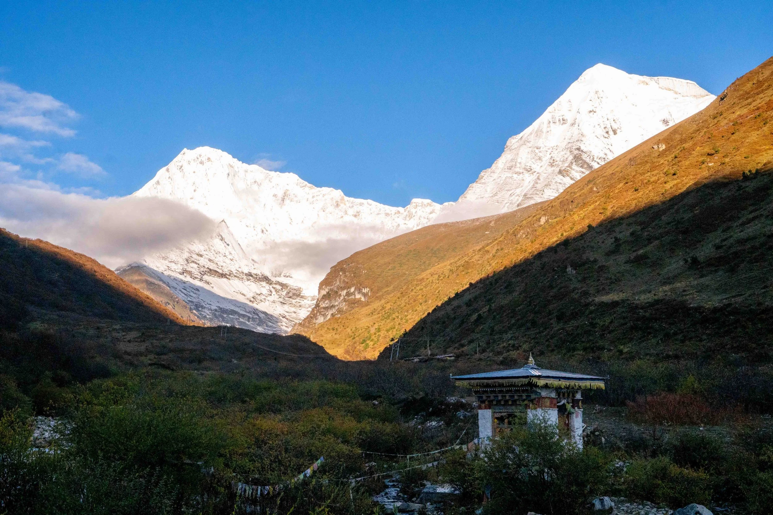
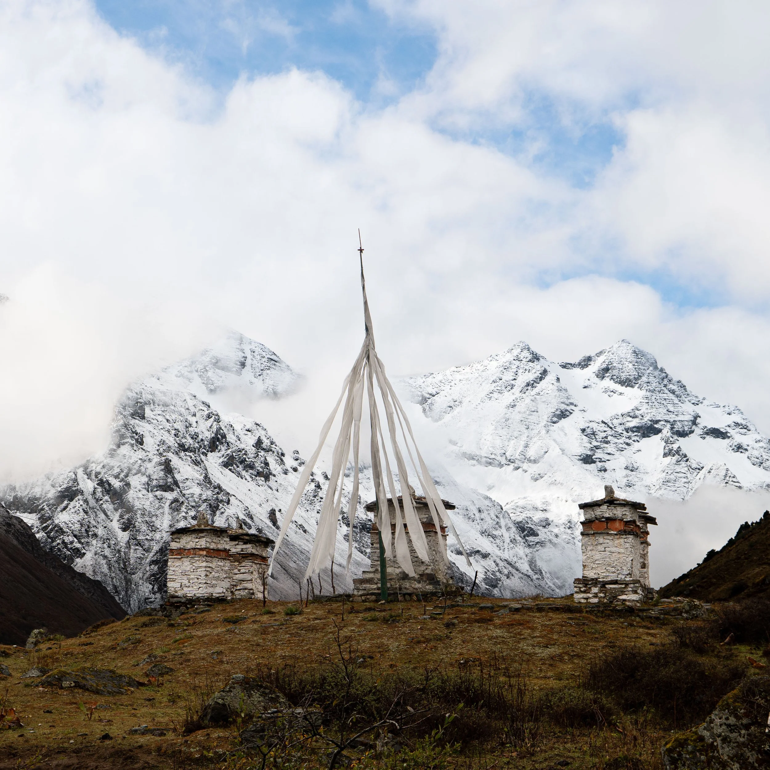
Stupa in front of Jichu Drake and Tangkarlung Lha Mountains
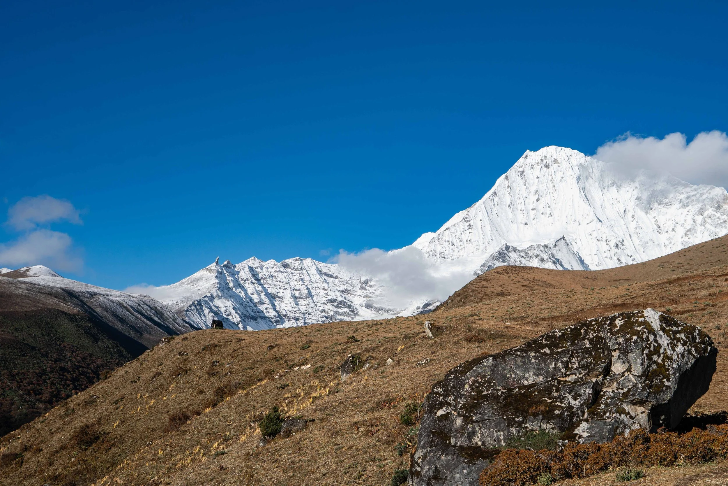
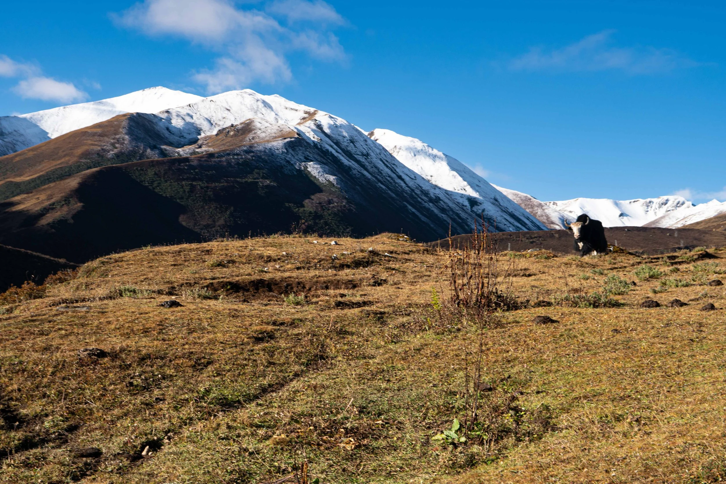
Aura farming yak in front of Tangkarlung Lha
Registrand square in Samarkand
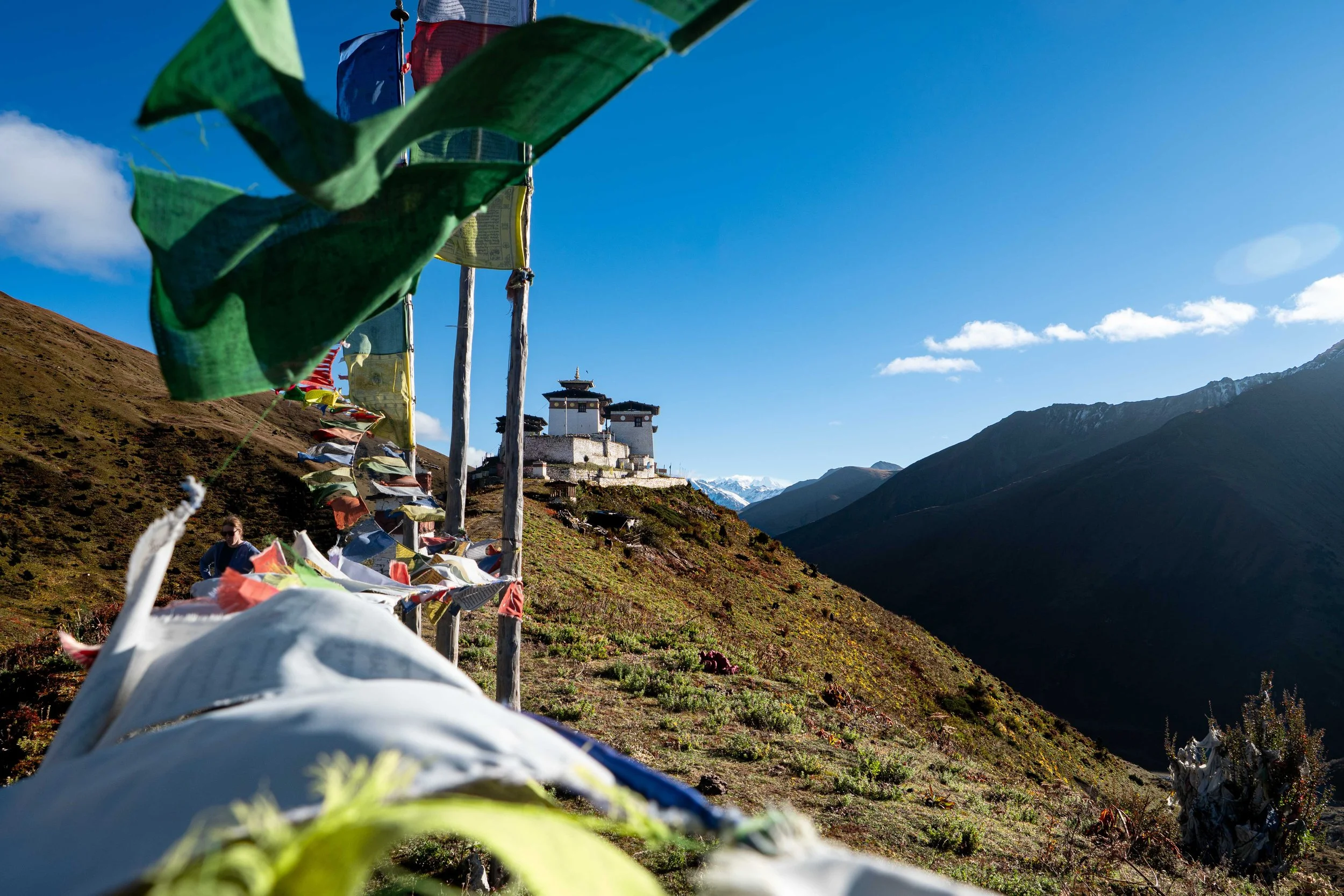
Prayer flags in front of the Lingshi Dzong
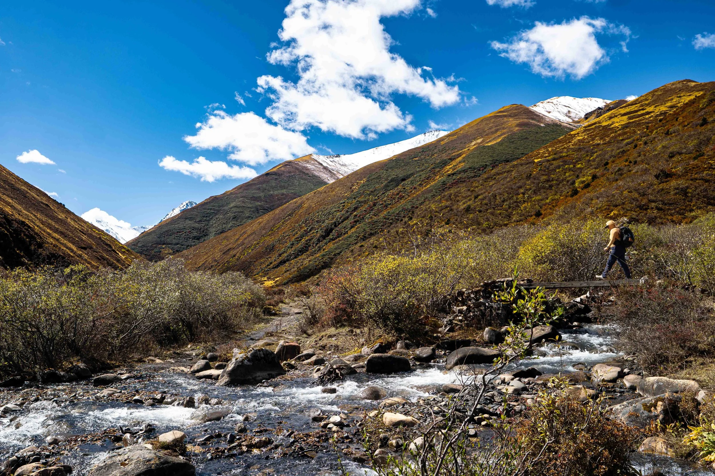
At the beginning of the climb!
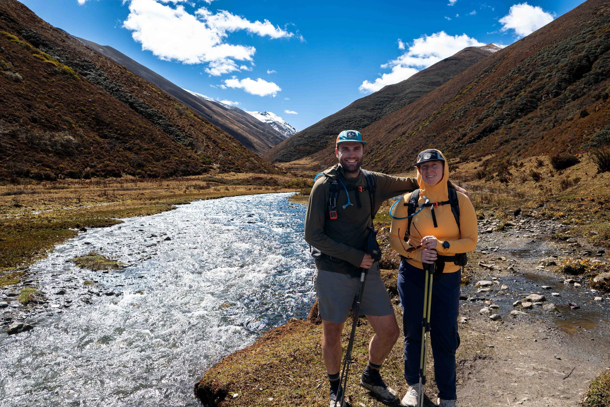
Looking up the Moo Chi River Valley
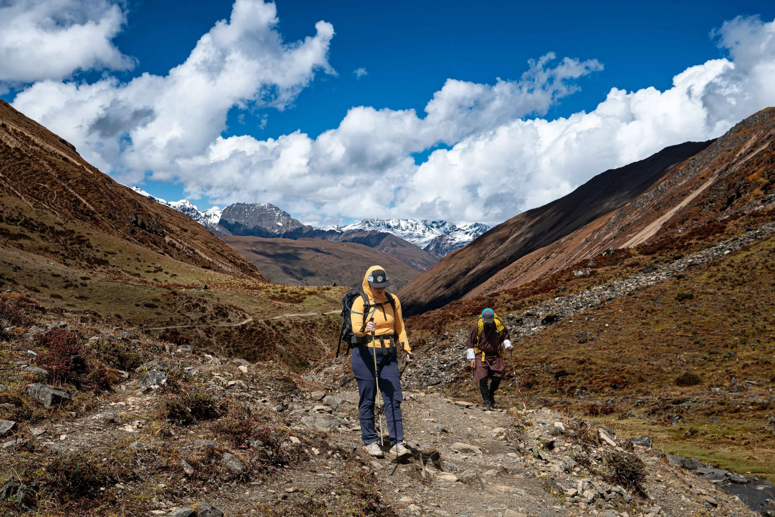
Amanda with Lingshi Dzong and mountain in the background
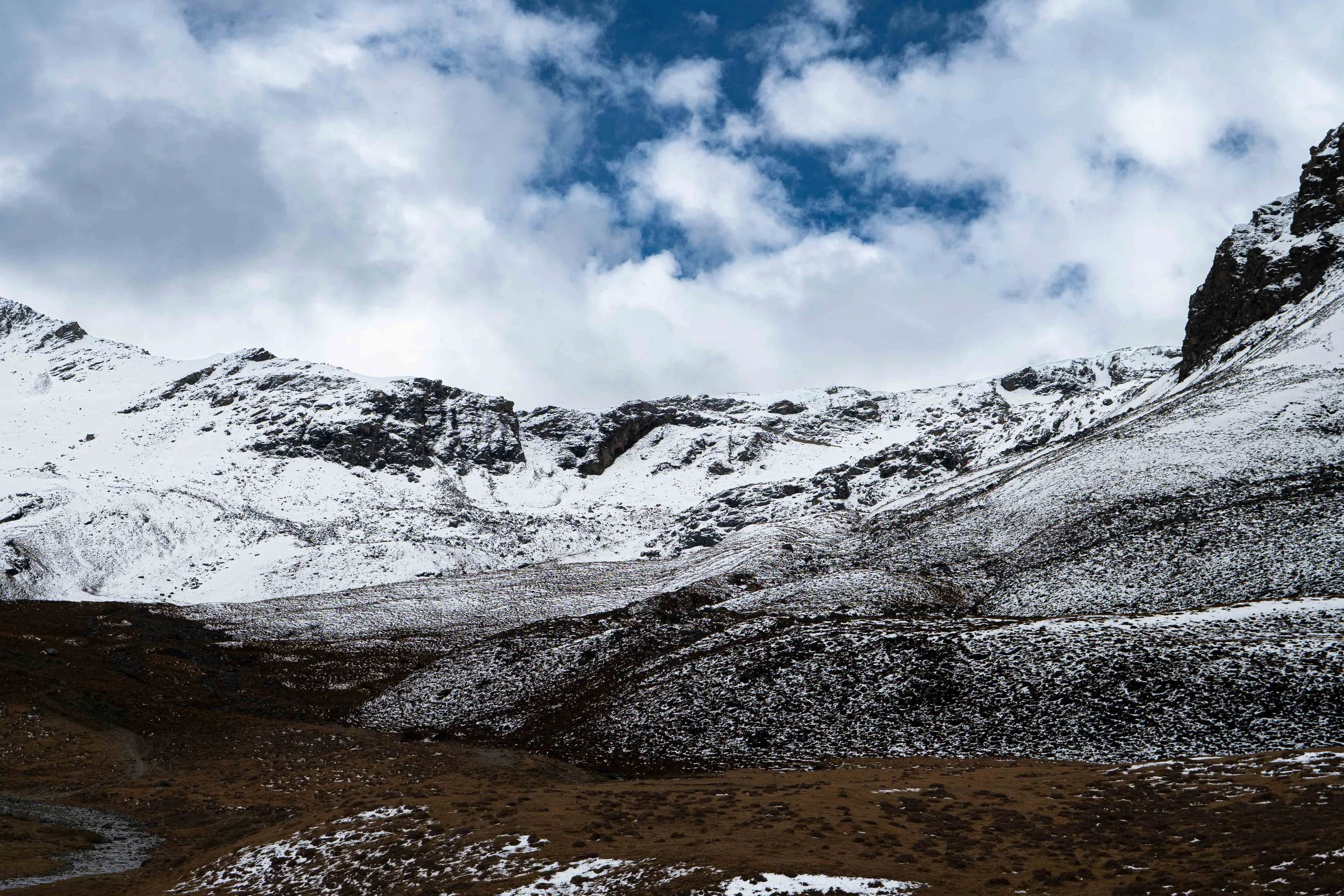
Looking up at Yelila Pass
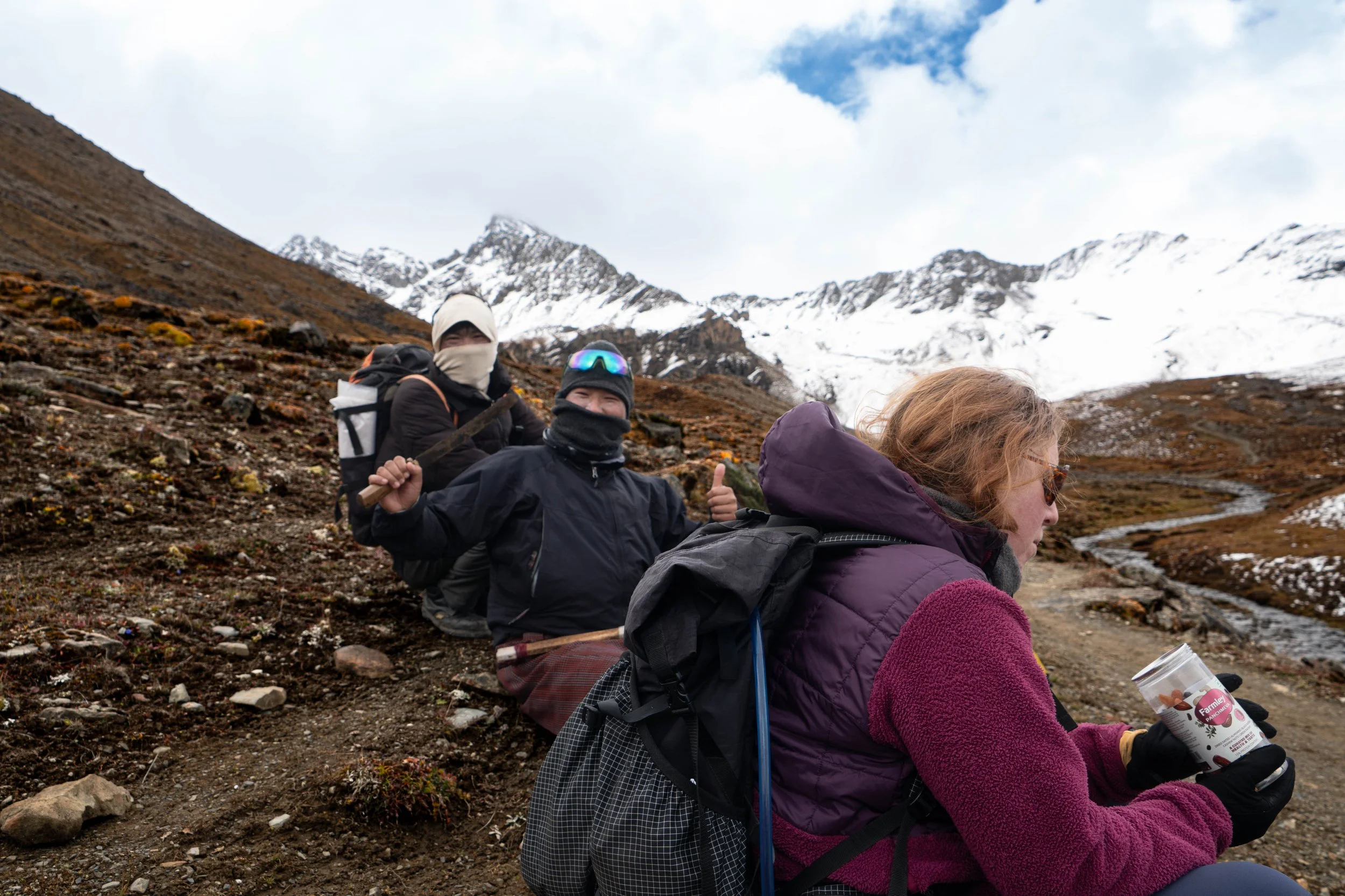
Snack then Pass
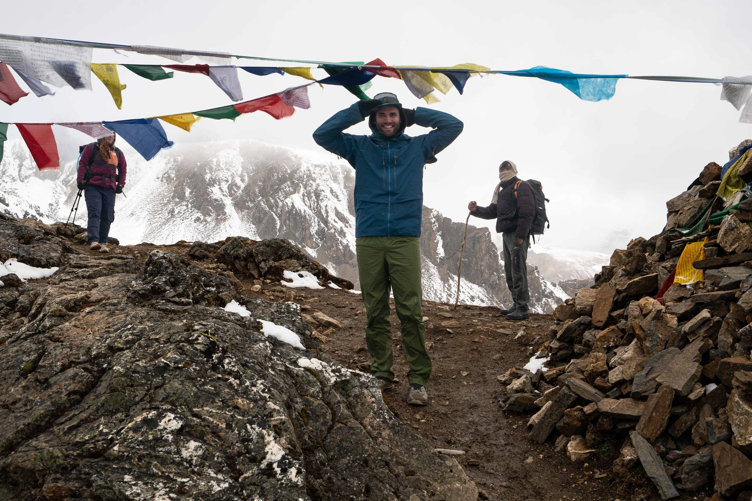
Arriving at the top of Yelila Pass
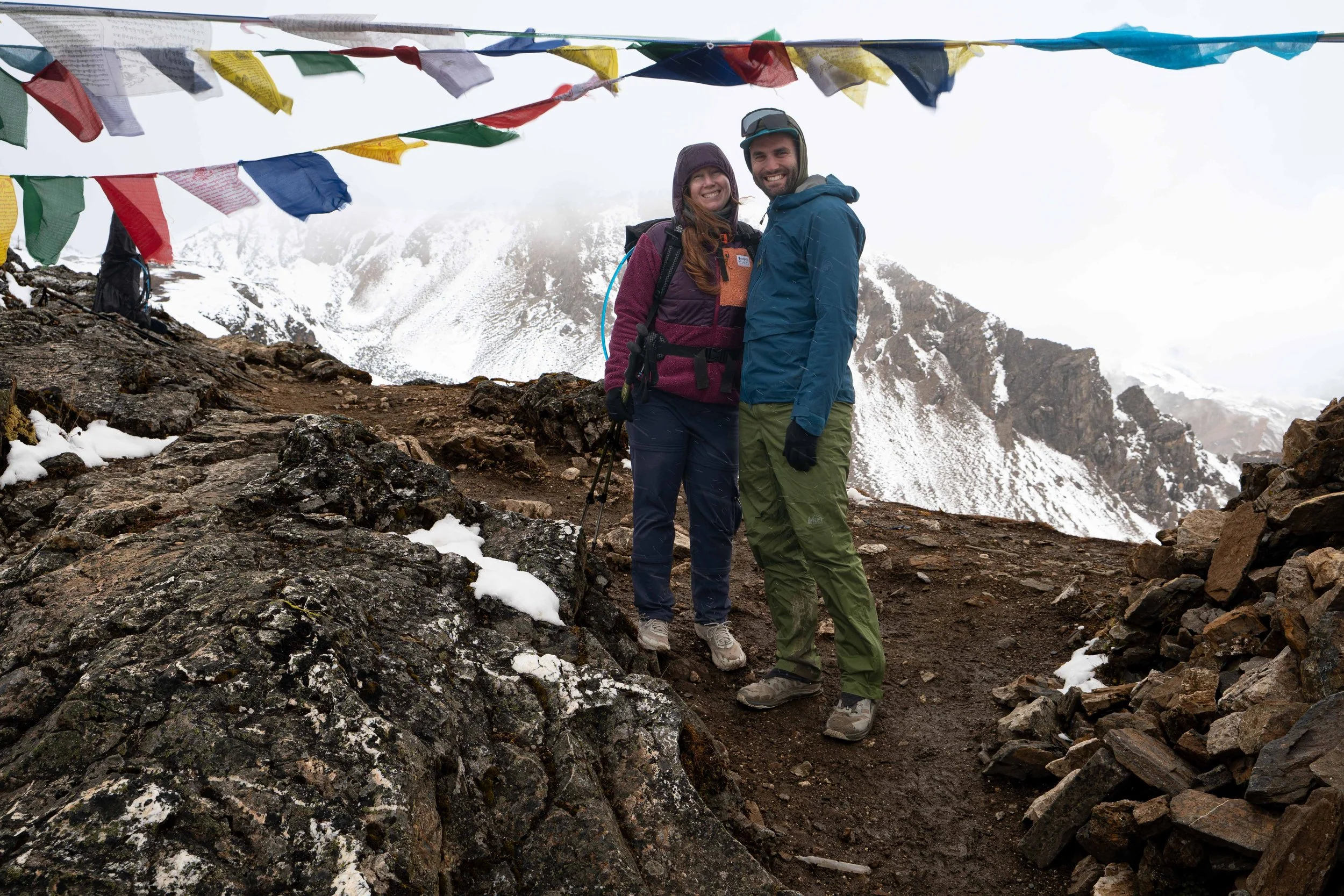
Cruising on down
Day 5: Lingshi Camp to Shodu Camp
October 11th, 2026
I woke up at 5:30 this morning. I wasn't really sleeping anyway but that sucks because this is our biggest day. I decided to crawl outta the tent anyway as I wanted to see if things had cleared enough to get a sunrise on the two big peaks visible behind us - Jichu Drake and Tangkarlung Lha. I could tell it was going to clear, once outside, but it wasn't there yet. So I retreated back inside the Hillaberg, wiping a ton of condensation onto my head and back as I did so. This tent is warm but it does NOT breathe well. I checked my Sony Alpha to make sure it was still warm. I had slept with it all night to try and keep it from getting temperamental in the cold and preserve battery life.
About 30 minutes later we both were awoken by the shouts of Nim letting us know the peaks were out and visible. We stumbled out and got a great glimpse of full sun on the two Himalayan behemoths. It was a site I had been waiting for since the start of our trip and it did not disappoint. Amanda returned to the tent and I had some morning coffee. The evening before, on our way down, Nim had discussed the possibility of going up to Lingshi Dzong, which was about 1000 feet above us. Now, looking at how beautiful the day was going to be, I decided the extra elevation would be worth it and told Nim I wanted to go up and he excitedly agreed. I let Amanda know and she begrudgingly indicated she wanted to come along.
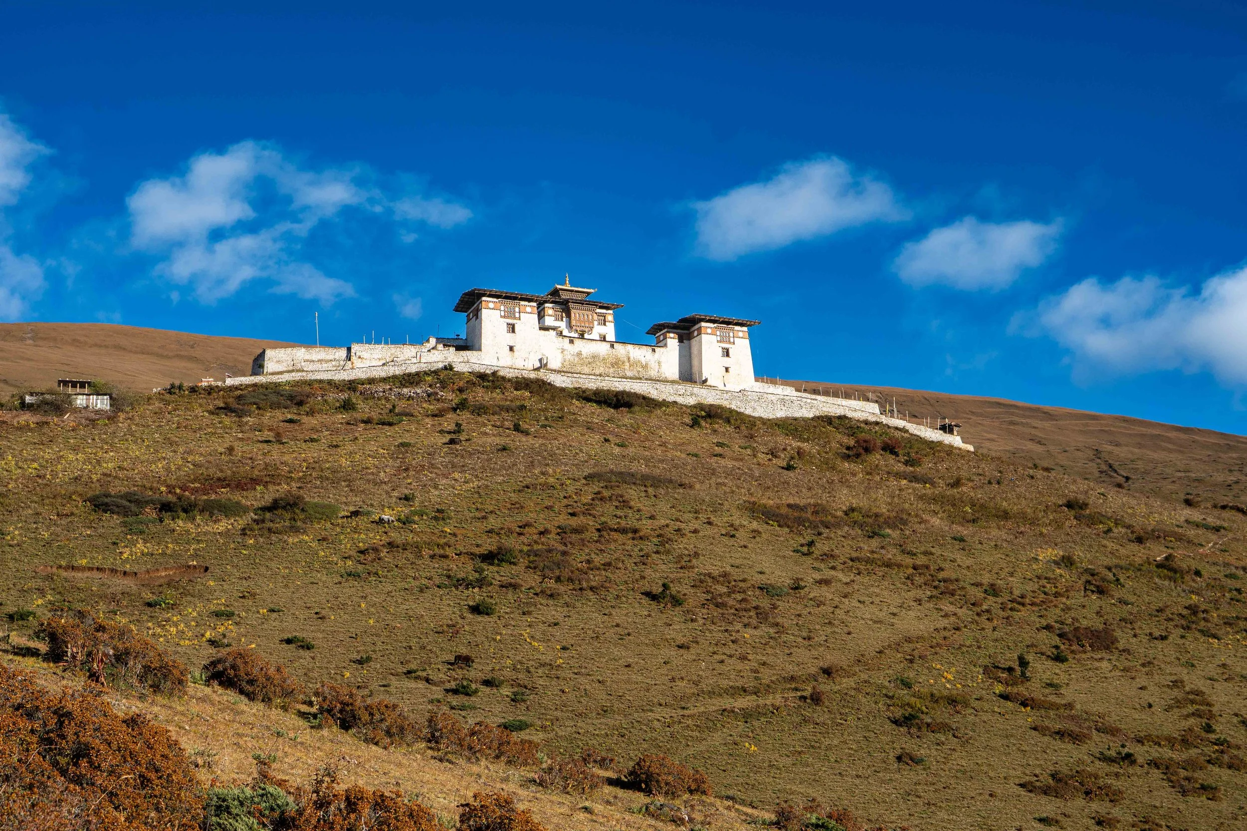
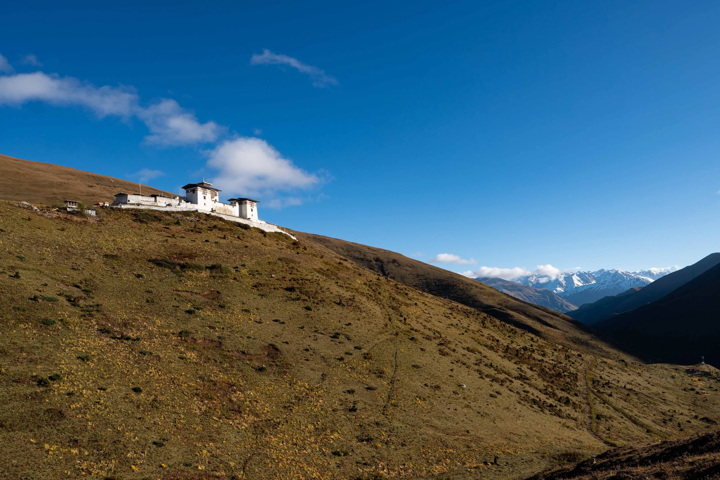
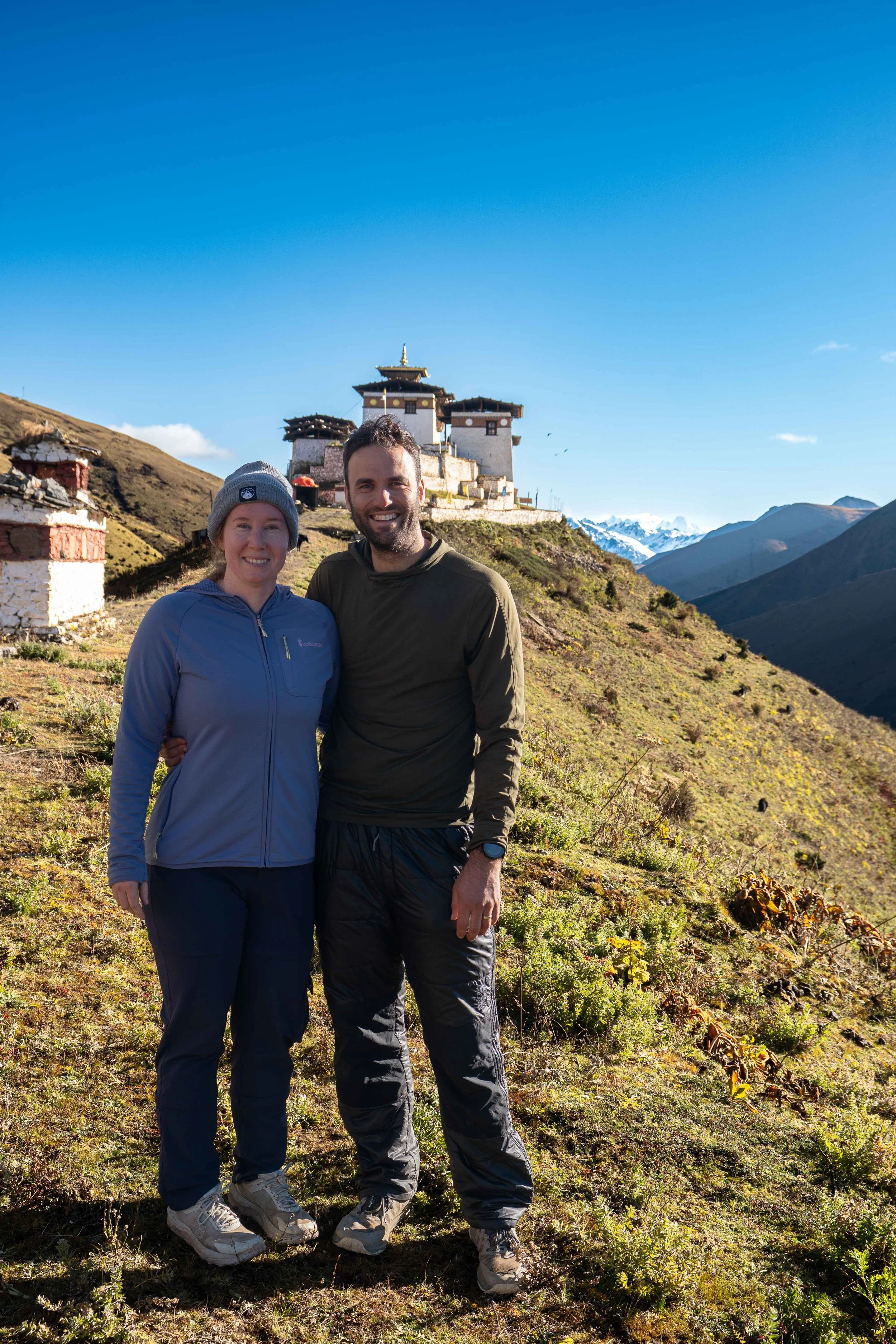
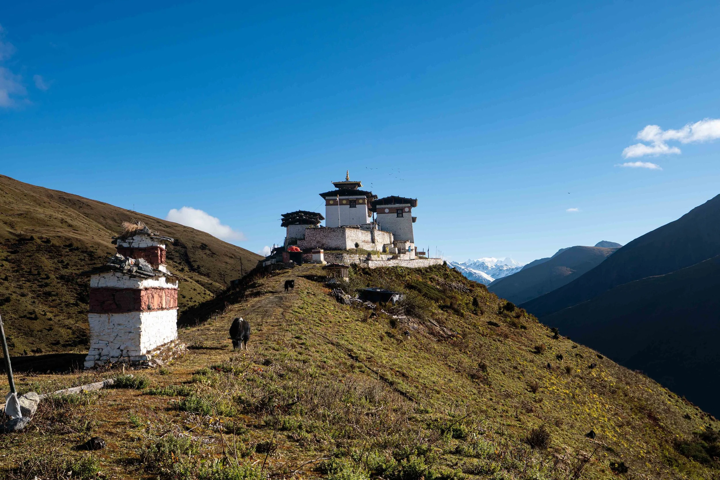
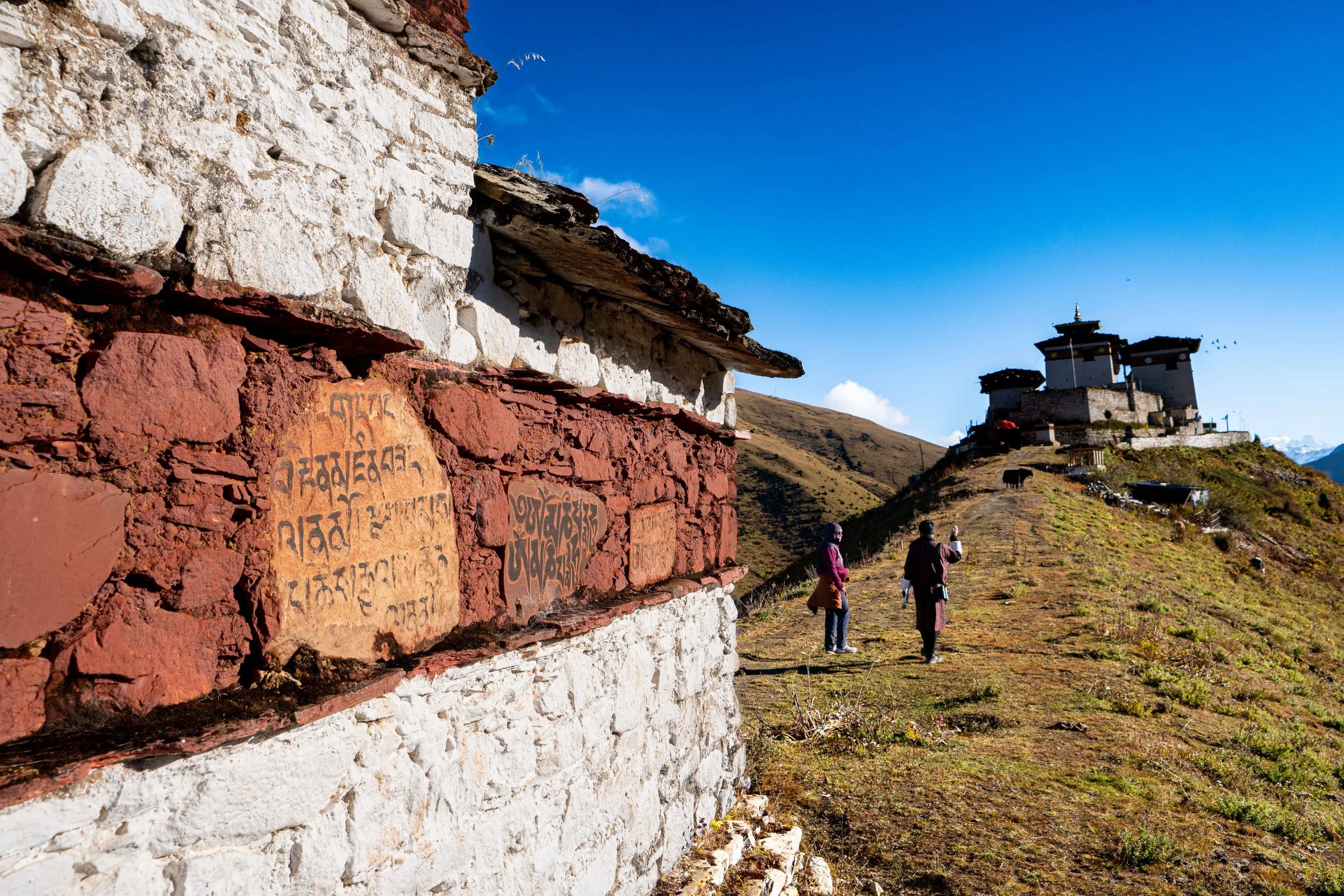
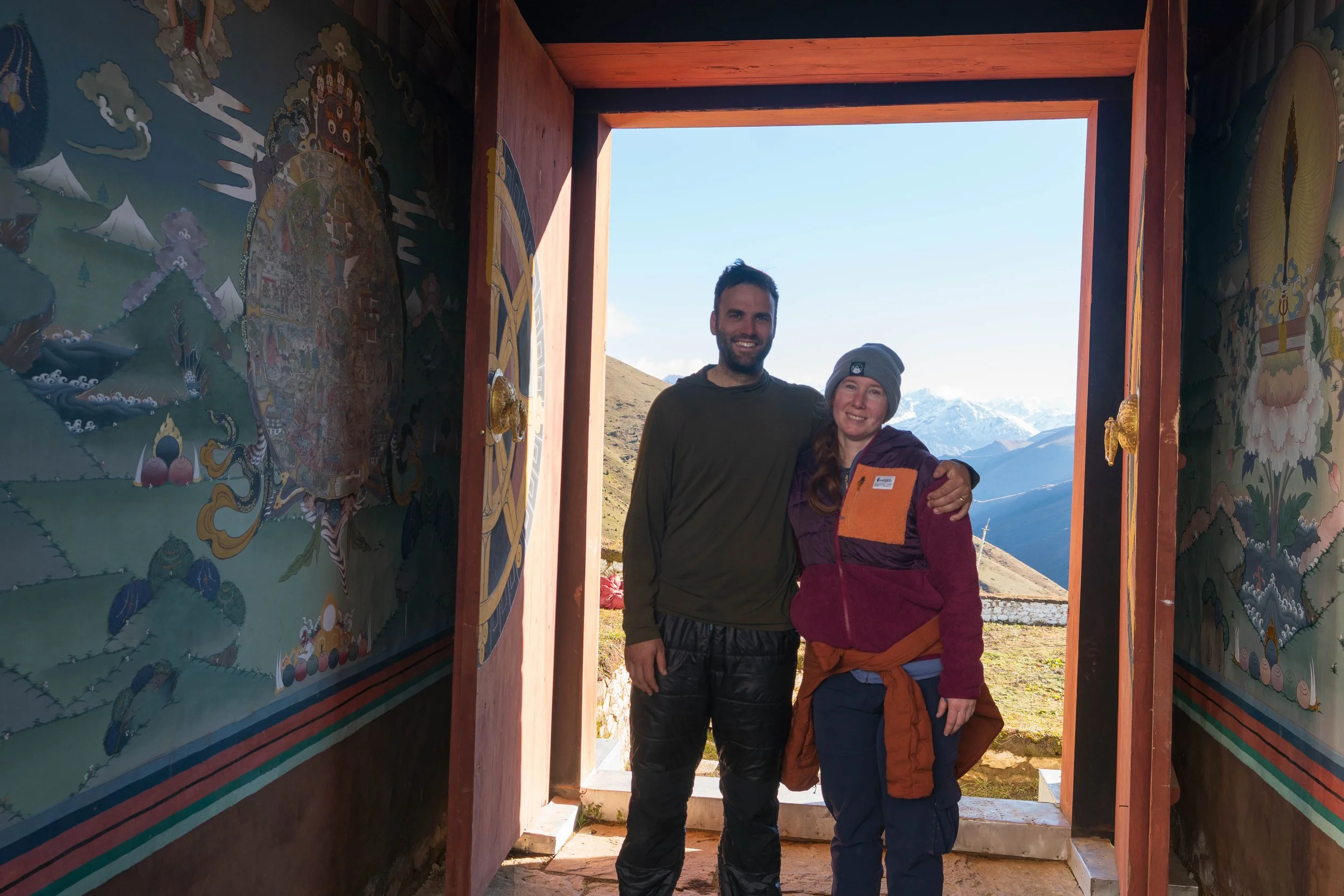
We started out in the cold shade of camp in all our clothing which we slowly shed on the way up the steep grade from Lingshi camp. We reached the top of the ridge and turned to see the impressive Zhong about 200 feet above us. We caught our breath and finished the climb, snapping some pictures of some aura-farming yaks in front of the peaks. At the top, we took some more photos, as there were some majestic prayer flags and a stupa aligned with the Dzong. Nim then took us inside and we explored for a while. There were some very angry dogs near the front, which we avoided, and then turned around and exited. We took some pictures back at the flags in front of the Dzong before making our way back to camp.
Once back, we had breaky. Today it was a little egg fritter sandwich, which was really good. We ate outside with a clear view of the two peaks in front of us. The day continued to warm as we packed our things. A herd of yaks made its way into camp as we were finishing up and one particularly curious ‘lil yak started nuzzling through everything looking for salt. We got sunscreen on and did our warm-ups then got started around 9:30, about 1 hour later than we typically do.
The day started with a stout climb up the end on the ridge we descended last night. We gained about 300 feet to pull ourselves out of Lingshi camp and were delivered into the outflow of the beautiful Moo Chi river valley. Most of the day would involve walking up this valley to where we went over the pass.
For six miles we plodded up along the Moo Chi. It was beautiful today and I could constantly look back and see the imposing Lingshi Dzong on its promontory, framed by big mountains in the background. The grade was a fairly steady 7-9%, which would have made for some quick mileage but Amanda was struggling. I think the lack of sleep was really getting to her because she was having a tough time getting over 2 mph. We made frequent stops to let her catch her breath. At one stop Nim told us that it was possible to mountain bike the valley but it was super expensive because it requires a helicopter.
During one of the stops, we were passed by a man named Suri. He spoke rapid-fire Bhutanese with Nim who translated for us that Suri had come over a high pass between Tibet and Bhutan during the night and was smuggling mattresses between the two countries to Thimbu. Evidently, this kind of black market trade between the two countries is not uncommon and a single successful trade of gold can set-up a Bhutanese citizen for life. This trail we were now on between Lingshi and Thimbu is a pack-animal highway for all goods - legal and illicit.
At about six miles in, before the first big climb into the Yelila Pass, we stopped and ate lunch near a little shelter on the river. The weather was starting to get ugly, as it seemed to do every day after noon. It began pellet snowing on us as we finished our lunch of tuna fish, veggies and rice. I was glad to see Amanda had eaten a pretty good portion of food because she had been complaining of a small headache earlier and been really slow coming into lunch. This would be the first time doing back-to-back 16,000 foot passes and, despite being at above 13,000 feet for three days now, sleep had been our real challenge and I could tell it was really dragging on her.
After lunch we got packed up. I ran Amanda through what was still in front of us - about 1500 feet up and 2 miles on. She acknowledged the challenge and said she felt better after lunch. We reshouldered our packs and got going, crossing the Moo Chi river to reach the first 700' climb. Amanda appeared to be back to her typical speed for this section but slowed significantly when we got into the climb. It was at this point that I started to get slightly worried. It was only 1 pm so time wasn't too much of an issue. The weather was worsening but I could tell it was just the typical afternoon squall that seemed to develop every day in the high Himalaya. Annoying, but not dangerous. What I was worried about was getting like 200' from the top and not being able to get down or over - just getting stuck. So, I asked her if she was okay and if she thought she could get over. She said she was feeling okay just not going very fast - she was doing her classic 50 steps then 20 rest, except with 108 steps because it was a holy number here in Bhutan. She also let me know she was frustrated in the way I had asked, so I took it as a sign that she was at least doing well enough to be angry with me.
So, we pushed on. I fell in step behind her and we did 108's up into the little hanging valley before the pass, chopping the height to 700 feet before the pass. Once in the little hanging valley we cruised along. We were passed by a horse pack and the boys minding them, some of which, I swear to god, were wearing pajamas. That really put things into perspective. Nim asked Amanda if she wanted a ride up the pass as most of the horses we unladen She kindly passed on the offer, she is not a horse person. As we let the horses go by we stopped to spy on a group of Blue Sheep grazing high up on the flanks of one of the peaks.
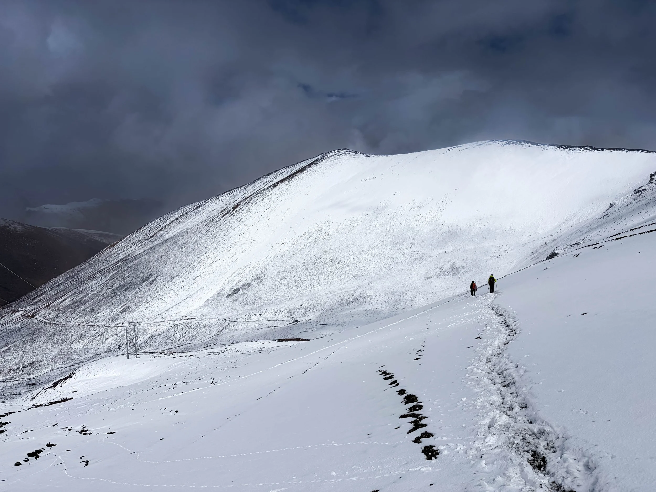
We reached the last climb - 700' to the top and started heading-up. Amanda started with her 108 steps before resting but soon lowered it to 50's. This is how she had conquered the two brutal passes we crossed over in Tajikistan last year and she was doing work with it here. We crawled up the pass, and were passed by another horse team. The pauses got longer and the breathing got heavier. The one thing about slow and steady altitude is that it does extend your exposure time. So, while our pace was manageable, I could feel the toll of being above 15,000 feet now and couldn't help thinking I was starting to fade.
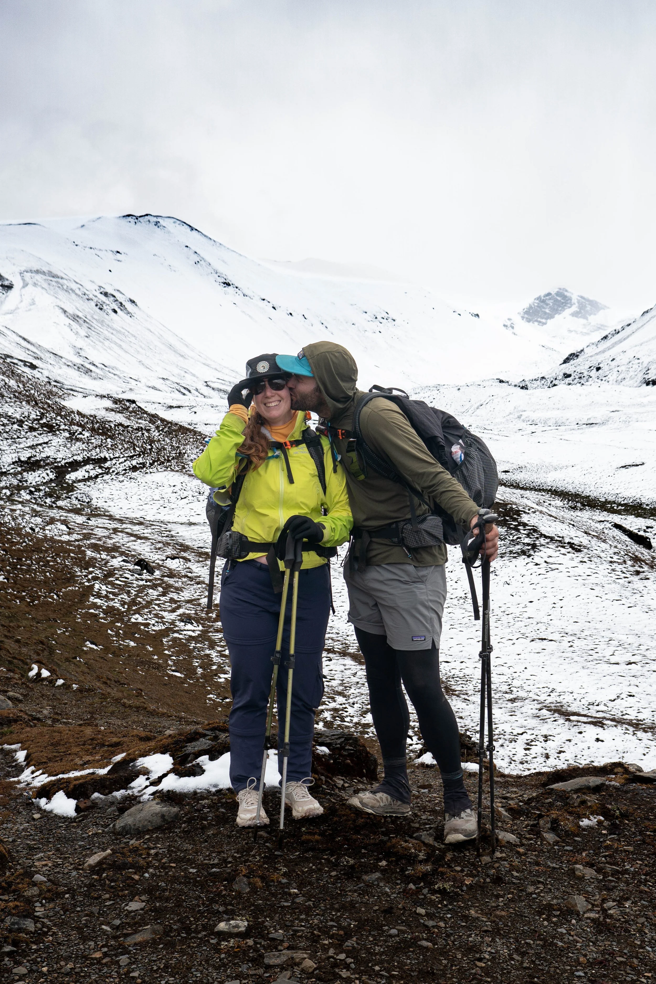
Eventually we reached the last switchback and turned onto the final incline. Amanda asked if I wanted to go ahead, but I told her she was getting to this one first. It took 15 min or so but we made it to the top. I gave a whoop once on top because I am, in my heart, a woo-girl. Nim also let out a yell and Amanda took a seat with a big smile on her face.
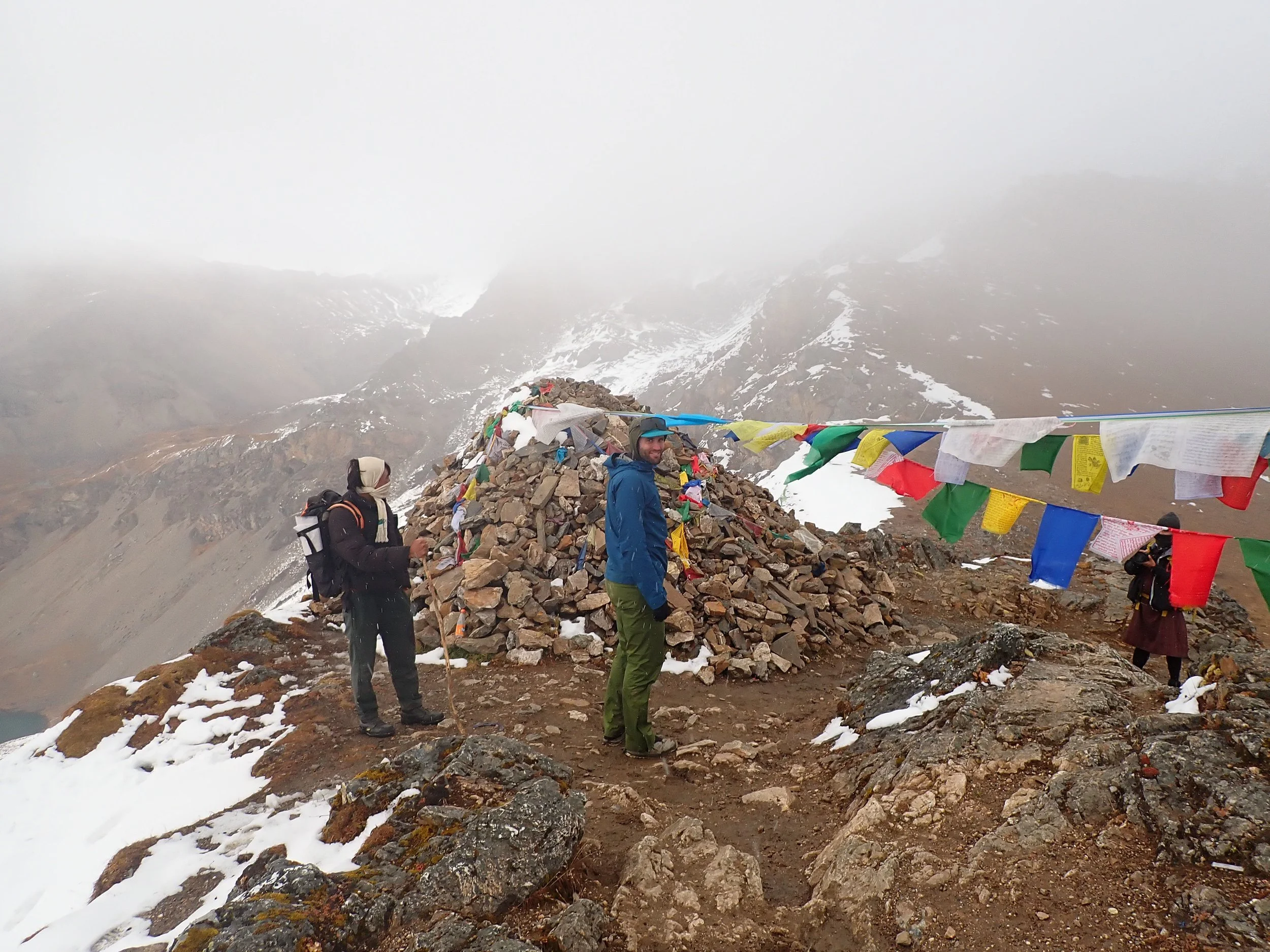
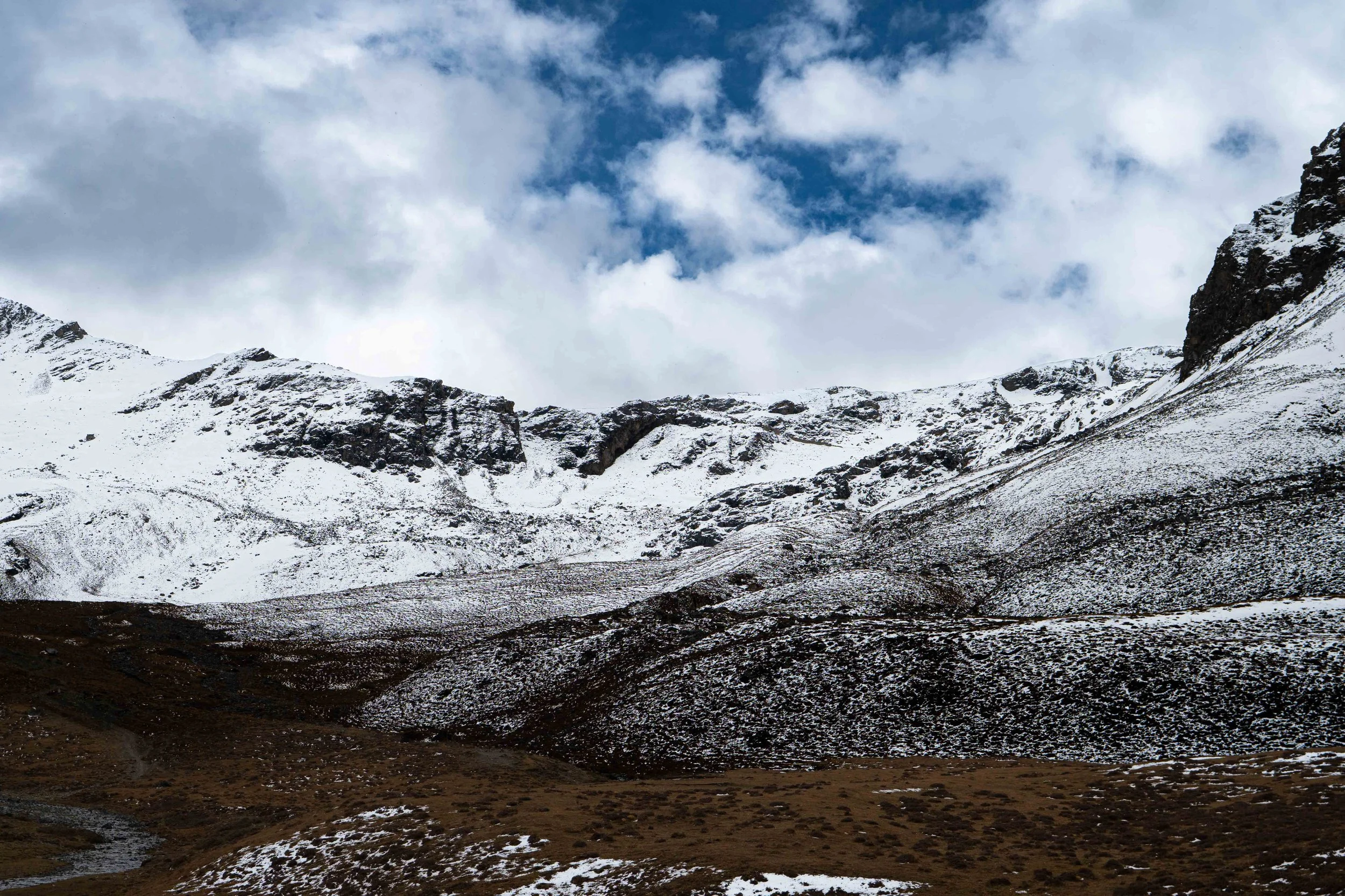
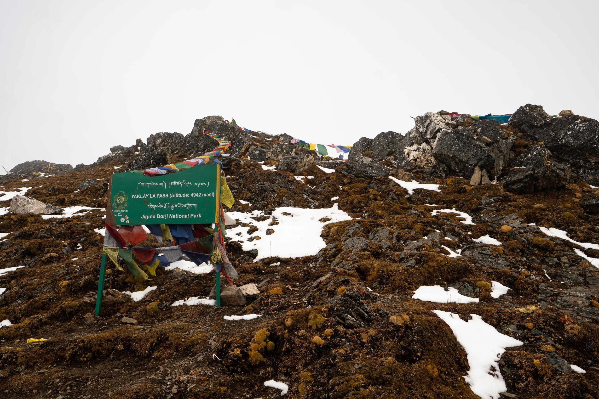
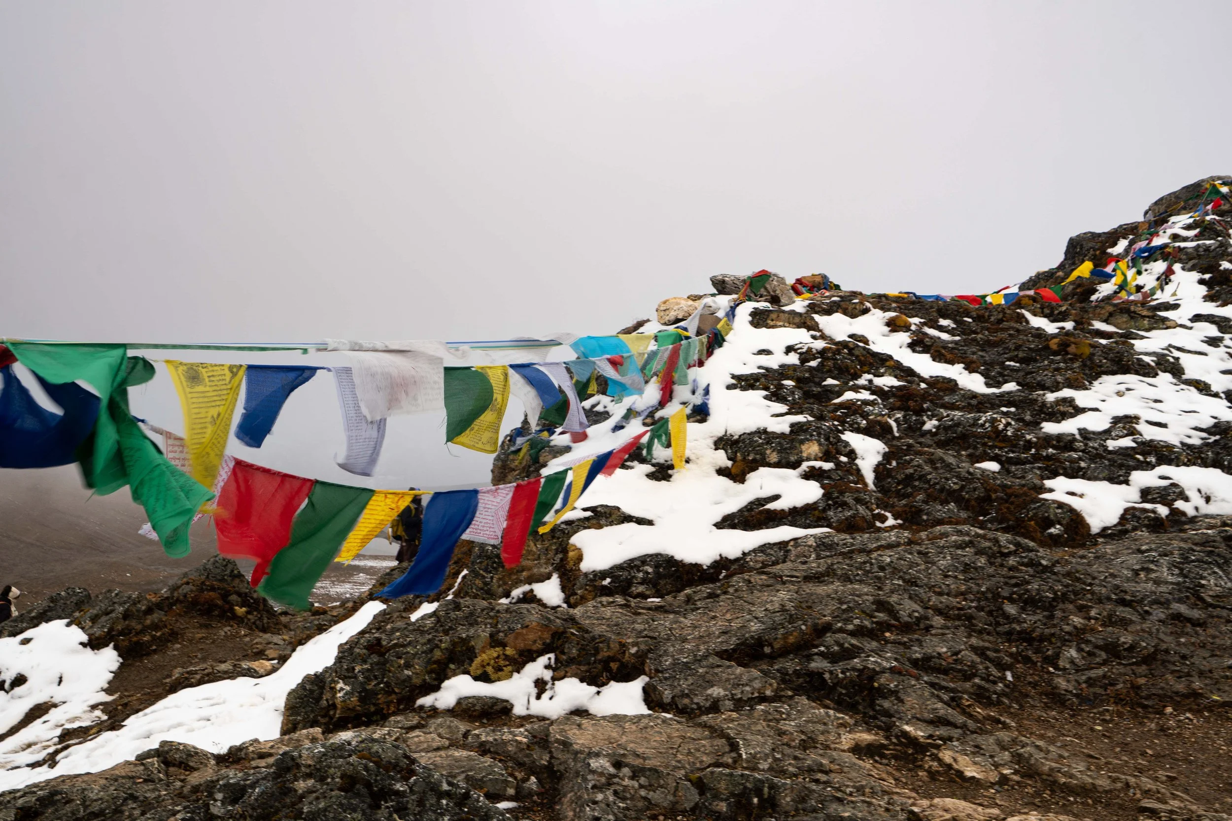
We snacked on top, enjoying the limited view in the snowy conditions. We were the last group over the pass and savoured the fight we had been in to get over. After many pictures, we began our long descent. We had to get back down to 13,300 feet and it was already late in the day. The south side of the pass was less steep and we cruised down. Phub took Nim's binoculars and went off UP into the hills to look for things. He literally ran off - like ran. It was impressive.
The way down was uneventful. Nim did point out Yaklay lake which was one of the main drainages for the Wang Chu river, which flowed through Thimbu. According to Nim, the government of Bhutan was watching this lake closely because of its potential to send a title- wave of water down into Thimbu if it ever overflowed. They were especially concerned given recent events in Nepal. We were soon on autopilot. Amanda and I have done enough high passes around the world to have these long descents down. You just kinda point downhill and go. Occasionally it gets steeper as you navigate down a head wall between hanging valleys but overall, it's just down, down, down. All around us, we were surrounded by the foundations of massive mountains, their tops obscured in heavy cloud cover.
Eventually, we funneled into the Wangchu river valley and made our way along its swiftly running water. Night fell and we were still walking. Amanda and I broke out the headlamps and Nim forged ahead in darkness. At one point he stopped, looking for the camp. I had it on my Suunto and let him know it was still a quarter mile ahead and we forged on. Near camp, Phub came out with a light and helped us get down to Shodu camp. Once there we put our things down and kinda just stared into the void - it had been a long, long day.
We ate dinner which was more noodles and some amazing Paneer. We talked with Nim for a while in the tent then I helped Amanda to the bathroom, now just a privacy tent at the back of camp, because there were more dogs running around. We then set up the inside of our tent and got in for the night, passing into a well-earned sleep.
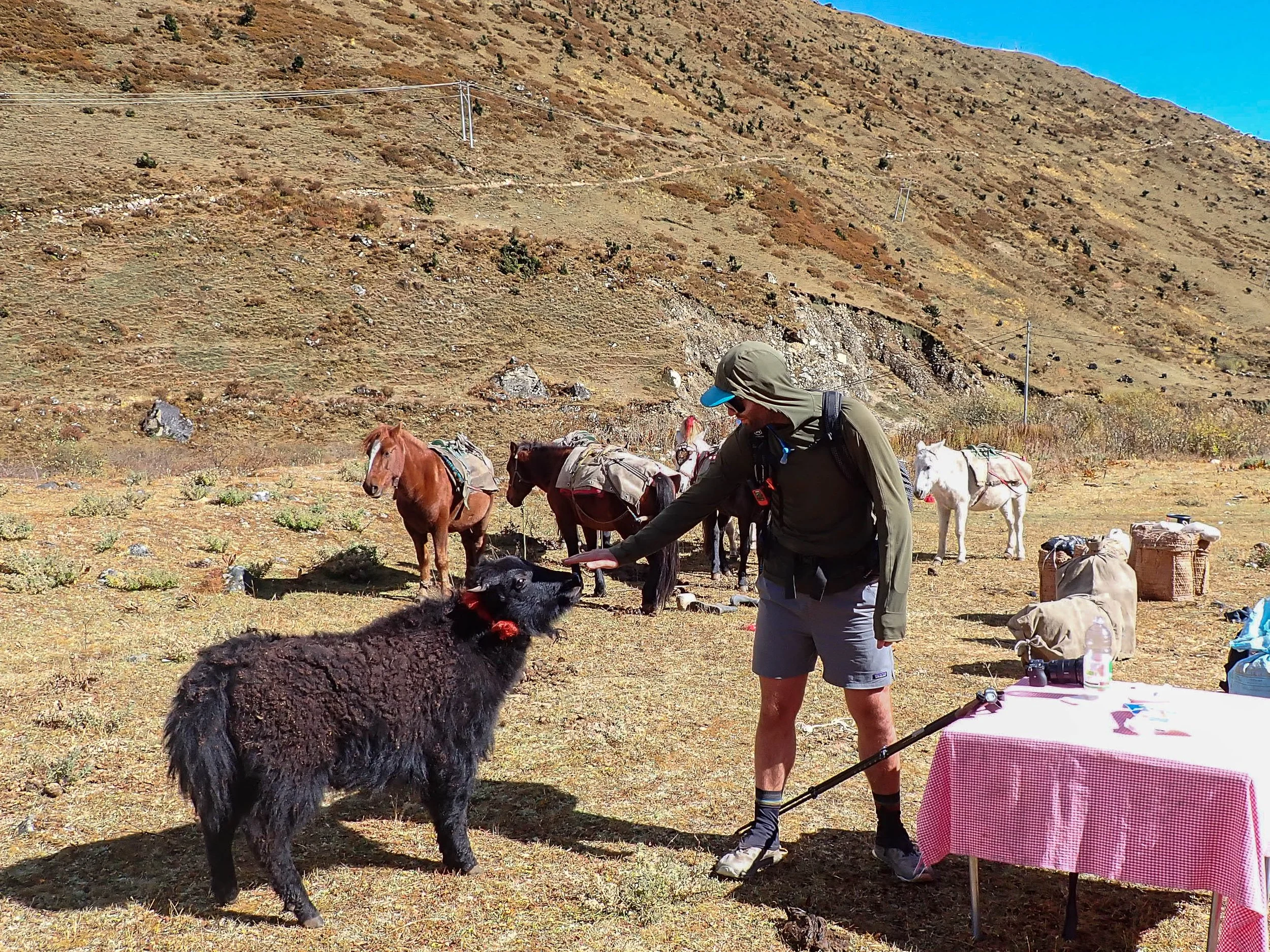
Day 6: Shodu to Thimbhu
October 12th, 2026
Last night I had some GOOD sleep. I hate to keep bringing up the sleep issue but it has seemed to be a factor more than usual this trip. I feel like, typically, it's only a problem for the first couple nights and then it gets better but, honestly, it was a real problem on this trip so - glad I finally got some good shut-eye. Amanda did not though - she didn't have a single good night of sleep on this trip. This morning would have been the right morning to attempt a sunrise timelapse - the mountains behind camp got good, clear sun making for an illuminating backdrop, but.... I was lazy and got up too late and it didn't happen, oh well. It was still nice to see the mountains lit up behind us though as we made our way through the morning's activities.
Breakfast today was egg toast and fried eggs with porridge. My challenge on these porridge mornings has been trying to get the honey out of the wide mouth jar and into the porridge while it's super cold and viscous - it has not gone right once. After breakfast we got our things packed up - stuff we didn't need in our Zpacks travel bags and everything else in the backpacks. The sun rapidly heat everything up and I watched as the ice crystals evaporated off of the Hillaberg as I retrieved our bedding from it.
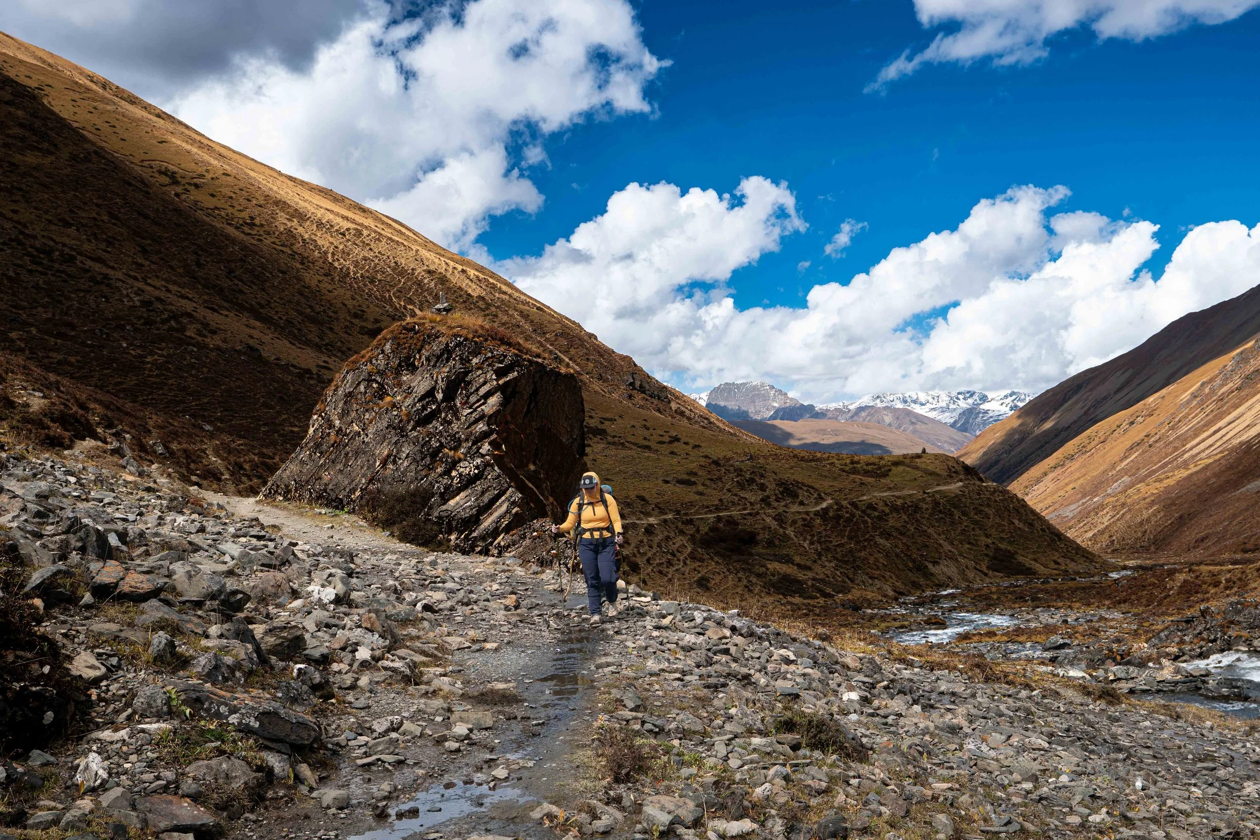
At around 8:40 we were set to go and started our warm-ups and watches. At 8:49, we were underway. The day started as it had ended - traversing along the Wang Chhu river. This time though it was light and we could see. We made good time for about the first hour, crossing the river twice. At about two miles in though, we had to make a steep climb over a headland and that is where the mud really started. Nim had described this section - the trail between Lingschi and our destination today, Barshang - as a pack-horse highway and vital artery for Lingshi, so it shouldn't have surprised us when the mud started. It was one of those slow burn realizations - like, it was annoying to start and then it was frustrating before it just became soul crushing. Mile after mile of the slickest, deepest mud we have ever walked in. We slipped climbing up, we slipped going down, we slipped just walking in a straight line. Everywhere the horses had wrought deep holes and gashes in the trail that had us making ridiculous off trail side-quests to avoid. As the horse trains behind us started to catch-up I started to notice the horse-men wearing tall muck-boots and I quickly realized my Altra trail runners were not up to the task. "Bhutan really needs to invest in some drainage," Amanda lamented. "Yea" I replied "they should take a page out of North Vancouver's mountain biking trail manual and armour everything."
This got me thinking, as I tromped through hours of mud, about the different approaches Himalayan countries take to managing the enthusiasm the rest of the world has for their high places. I believe that, many of the popular trails we have hiked started as livestock trails. From the Annapurna circuit, to the Snow Man Trek to the Pamir trail - all of these popular high-altitude routes were or still are, pack-animal routes. Nepal did something interesting though. I think they realized that instead of moving animals and goods, they could move tourists and, by setting up tea-houses, they could negate the sort of 7-horse team we now needed to move our tent and food and all the supporting materials along the way. Instead they invested in Tea Houses that could house and feed tourists on-mass. Large trains of pack animals were traded for porters who needed less materials given the static housing along the way. The trail stayed in better shape, if a little less authentic. By contrast, Bhutan and certainly Tajikistan, have functional traits that are resource arteries first, funneling critical resources into rural villages, and trekking trails second. What this means is far less tourist crowds but the trails are only as nice as they need to be to support stock movements and horses really don't care if they have to swim through a foot of water for four hours.
We fought through the mud for most of the morning. Nim and Phub seemed to be minimally impacted by the slick much we made our way across, but did stop and wait for us every quarter mile or so. Eventually, we crossed to the North side of the river and things got a little better. At noon, we stopped for lunch. Today, it was cubed beef, rice and some couse-couse type dish. The beef was a little gamey for me so I stuck with the veggies. Nim and I discussed the time left. He was convinced we were 90 minutes out but I still had just north of five miles left and we were moving at around 1.8 mph in the mud. I told him I thought we were closer to three hours left, showing him the route on my watch. He got really interested in the tech at that point - wanting to know how the mapping worked and if the bridges were on it. I walked him through the whole thing. Tseru also turned up with his smuggled mattresses and Nim and Phub invited him for lunch, which he happily partook in. Evidently there was some construction on our way out to Thimbu that had thrown a wrench in his and his son's plan to get the mattresses into town, but they had worked an alternate plan out.
Amanda and I lounged in the sun while Phab, Nim and Tseru chatted but eventually, by mutual agreement, we decided to start packing and move on. After lunch the trail got better, even as we crossed back to the South side of the river. There were still long stretches of thick mud but there were also longer stretches of clean trail we could cruise on. We descended into thicker forest, the high altitude juniper giving over more to Himalayan Pine trees. At one point, I stopped and picked up a beautiful blue pine cone. The canyon continued to narrow, high walls of granite shooting up on the north side of the river.
Eventually, we crossed back to the North side of the river and began an earnest climb out of the river valley. This took me a little by surprise as I had mapped the trail going directly below Barshong and climbing directly up the hill for 300 feet, but I guess the new route traversed over and up to the small Bhutanese village now. The mud came back in this section which, going uphill, made it all the more miserable. We also encountered yaks along the way. They weren't hostile but they were also pretty stubborn. Nim and Phub went ahead yelling at them to move and we eventually got through but I will say, walking on a trail below a 1200 pound animal is unnerving. Finally, after a brutal climb, we arrived at a road with a waiting Bolero for us. Evidently, because of the road closure Nim had recently learned about, our plan now required a ride in the one Bolero in Barshang down to the road construction where we would transfer to Dr. Phub and his trusty Hyundai. So, we loaded into the Bolaro - all of us, Nim, me, Amanda, Phub, Solemn and Ka-Ka, as well as all of our gear and headed off down the road.
Thus began the most harrowing jeep track ride I have ever been on. The Bhutanese don't really invest in hillside reinforcement and their answer to eroded roads on the side of hills seems to be to just cut a new road deeper into the hillside when the old one washes away. I quickly found myself with a front-now seat to a show I really did not want to be a part of. The Bolero teetered through sections with the tires on my side of the vehicle mere inches from a 300 foot drop on a road that looked like it was only a few more heavy loads from letting go. I quickly got out my GoPro and started recording. We went through several sections of road that had clearly let loose and only just recently been repaired. In one section, the road was newly repaired and muddy and inclined at a 35° angle. Here, the Bolero had to go into 4-wheel low and crawled up the slope at a snail's pace over what felt like a hillside of unconsolidated rock for several gut-wrenching minutes. In another spot, workers were actively resuscitating a section of road and we ran into an excavator. I was about to ask "what now" when the guy driving it swung the scoop perpendicular to the road and drove the 15-ton machine onto loose boulders above us so we could drive under the fucking boom between the death machine and a 300' drop. I just took solace in the knowledge that, If one of these slopes gave out on us the death would likely be quick from the drop as opposed to the crushing, suffocating weight of mud overcoming us.
This went on for an hour. Eventually we reached a sign that said "Warning, blasting ahead" which evidently was where the aforementioned transfer was to take place. We drove out onto another active slide zone and I recognized Mr. Phub and another driver waiting for us. As we got out of the car Amanda said "it smells like dynamite out here" and, sure enough I could pick up the residual smell of sulfur in the air. I didn't want to stick around in the area So, we grabbed our packs and crawled through a boulder field between the Bolero and Dr. Phub's Hyundai.
All of us eventually recollected ourselves on the other side of the boulders, around Dr. Phub’s car. We had dropped Solemn further up the road but Kaka and Phub were still with us. There was a little ceremony - Mr. Phub had gotten us cake to celebrate. We cut it into 8 pieces for the 8 people around and said our thank yous and goodbyes, tipping Kaka and Phub.The drive back with Dr. Phub was a little less exciting. We were now in the inner forested section of the slopes which felt more stable. We did stop in one section just before a pair of excavators which were working high on a hill, dropping whole trees and rocks onto the road below. At a sign from the flagger we went through.. He muttered something to Dr. Phub as we went by. "What did he say?" Amanda asked. "Go fast," Nim replied. About 30 minutes later we entered Thimbau and were delivered to our hotel. We thanked Nim & Phub and then got cleaned up. We had a quick dinner at the hotel restaurant and went to bed shortly after - thoroughly wiped out from the mud and harrowing jeep ride.
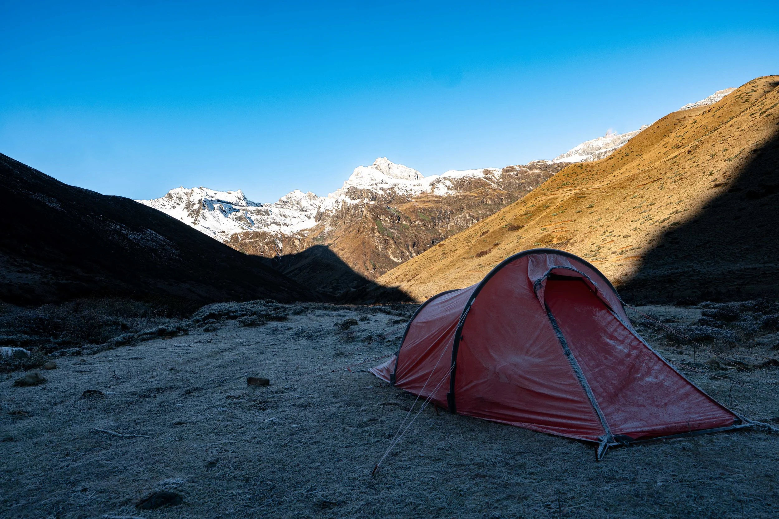
At least got a photo of the sun coming up on dem mountains!
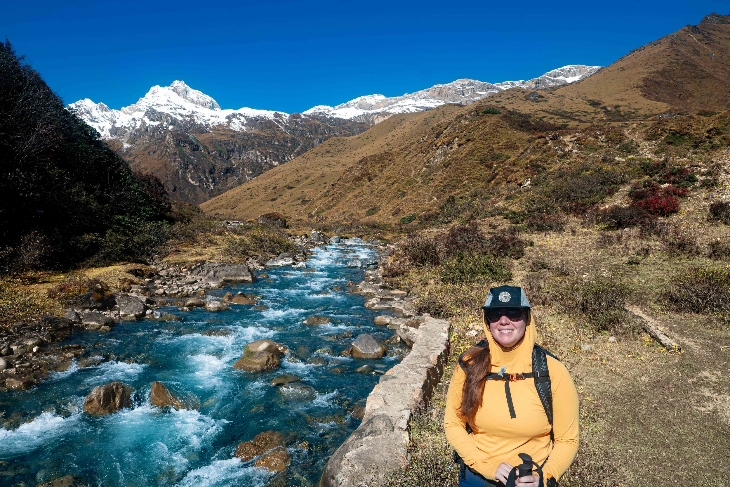
‘Lil Ass in the sun
Starting out along the Wang Chhu
Deep troughs left by stock movements
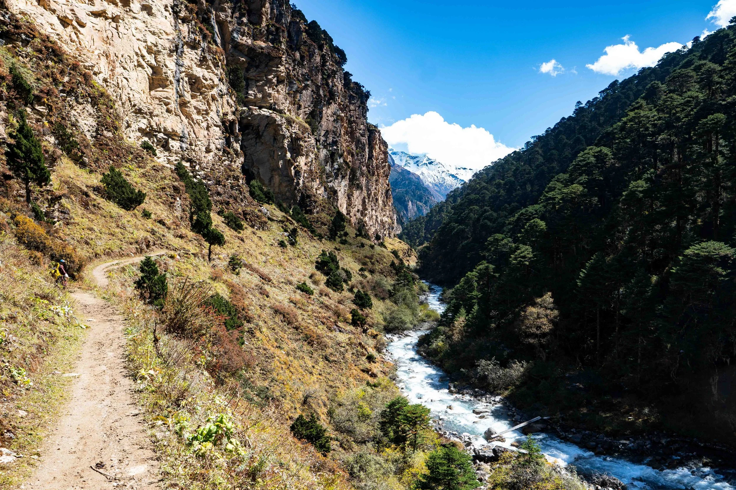
The river valley walls steepens
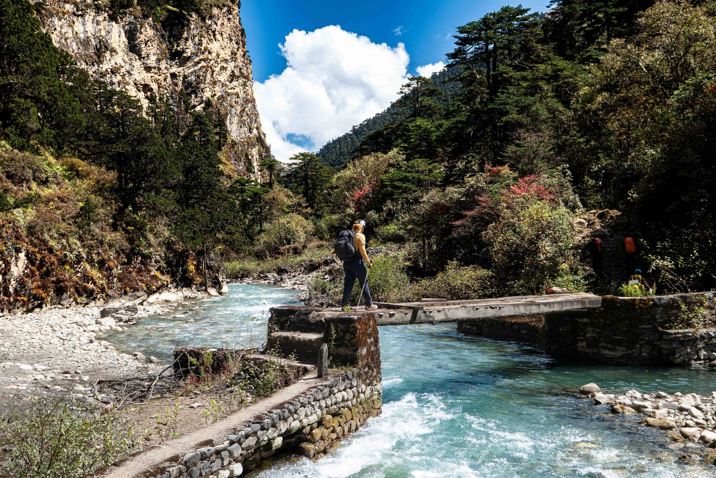
One of the many bridges across the Wang Chhu
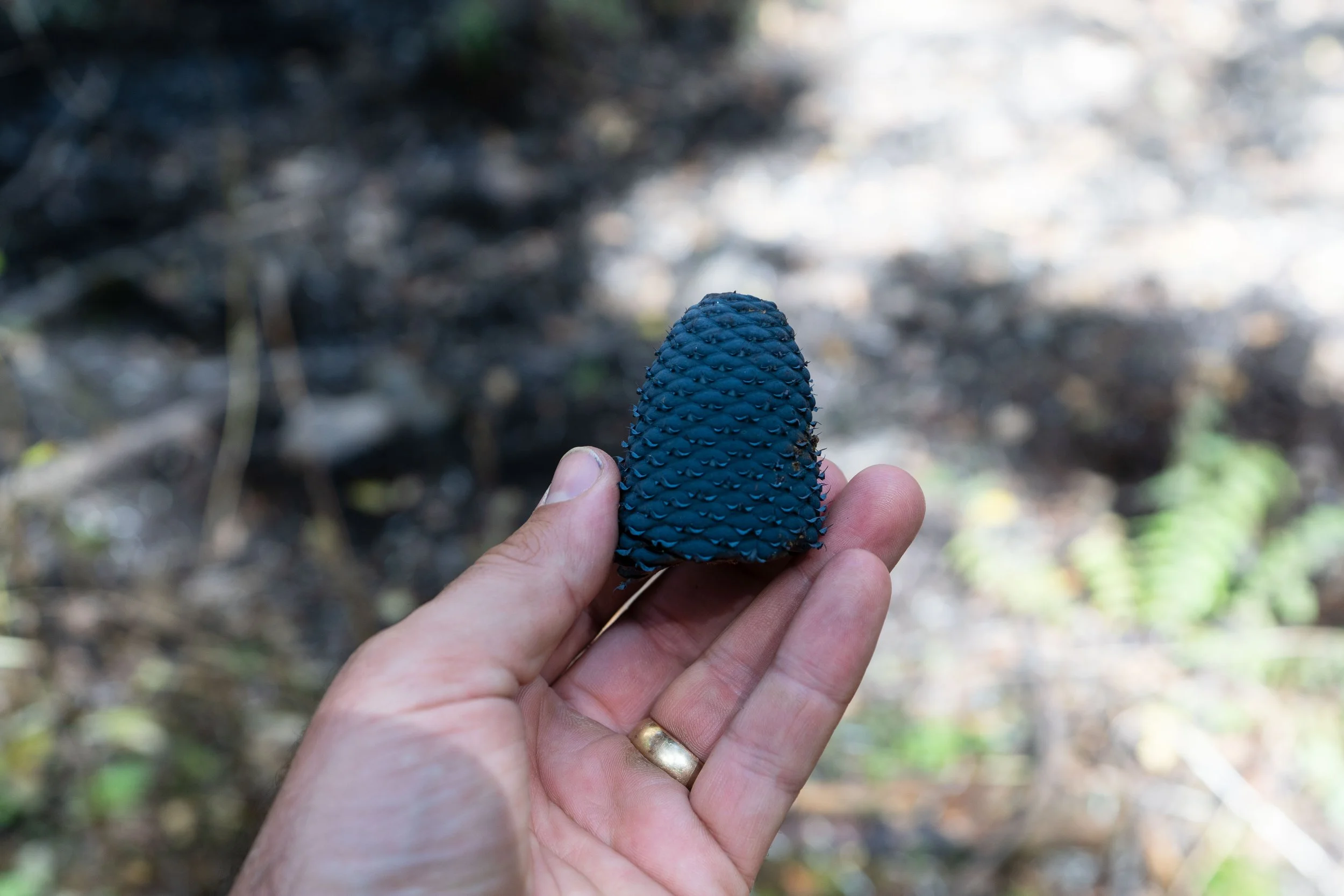
Blue pinecone
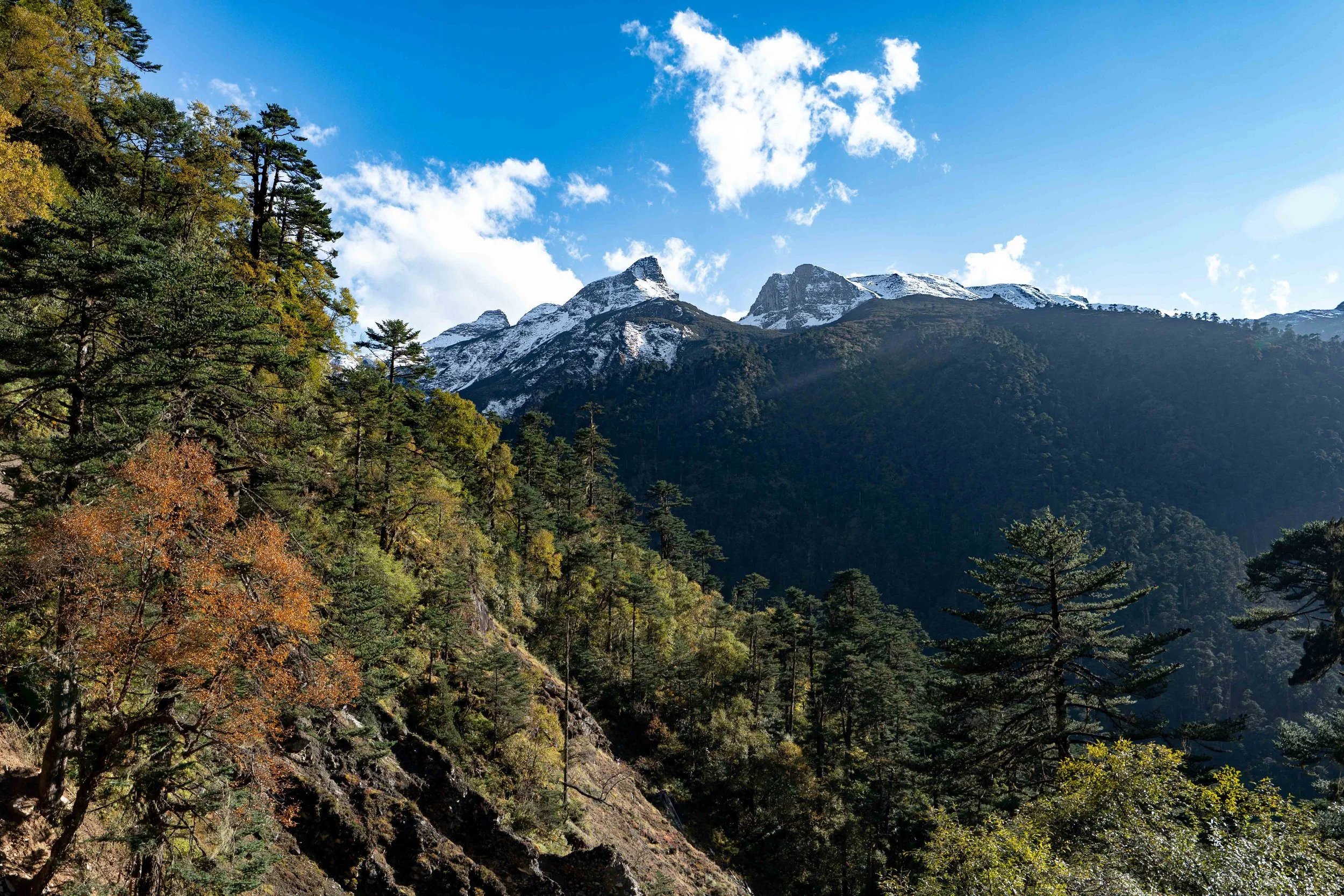
Can still see up onto the big mountains
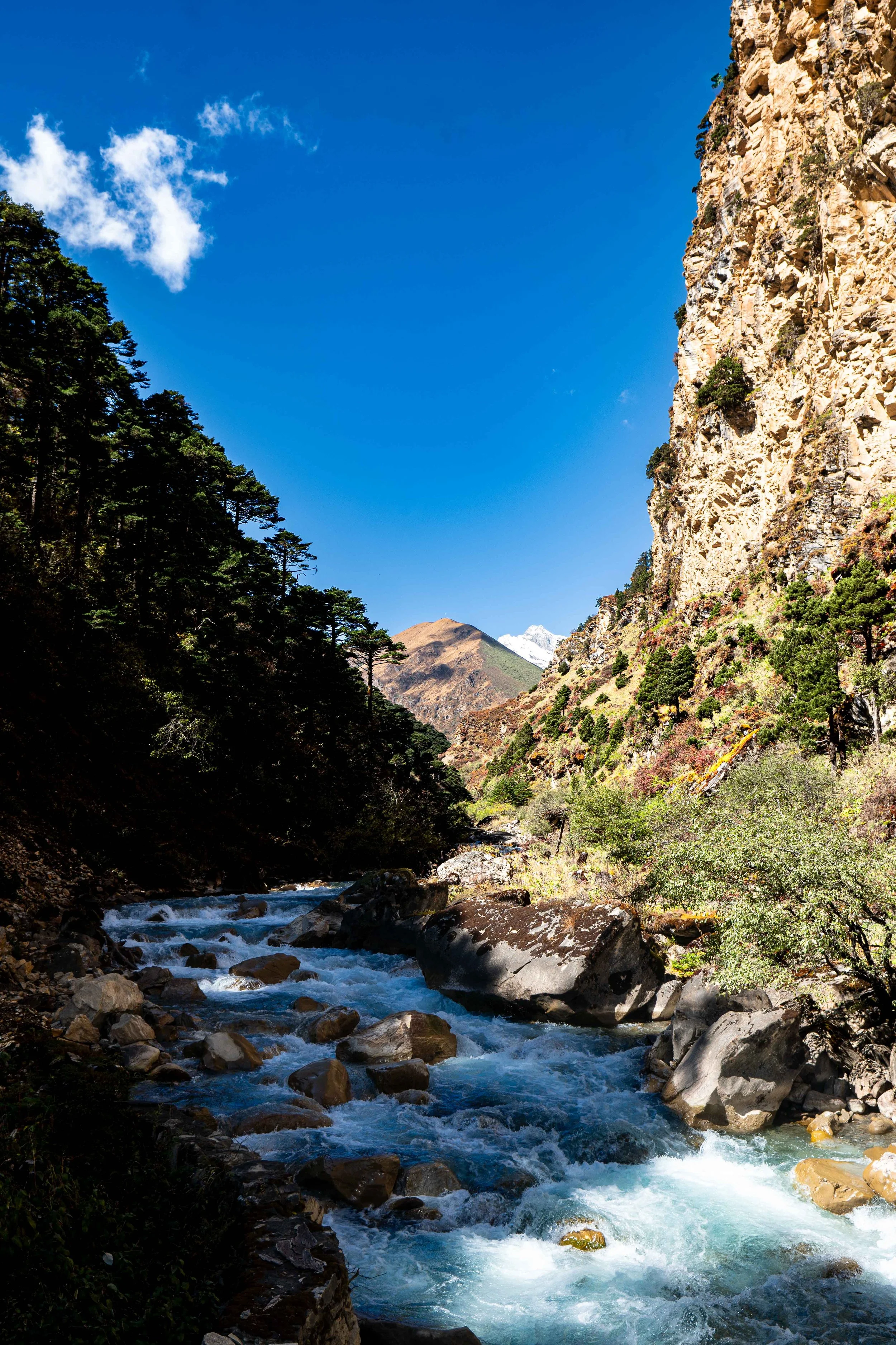
River got really picturesque the lower we went
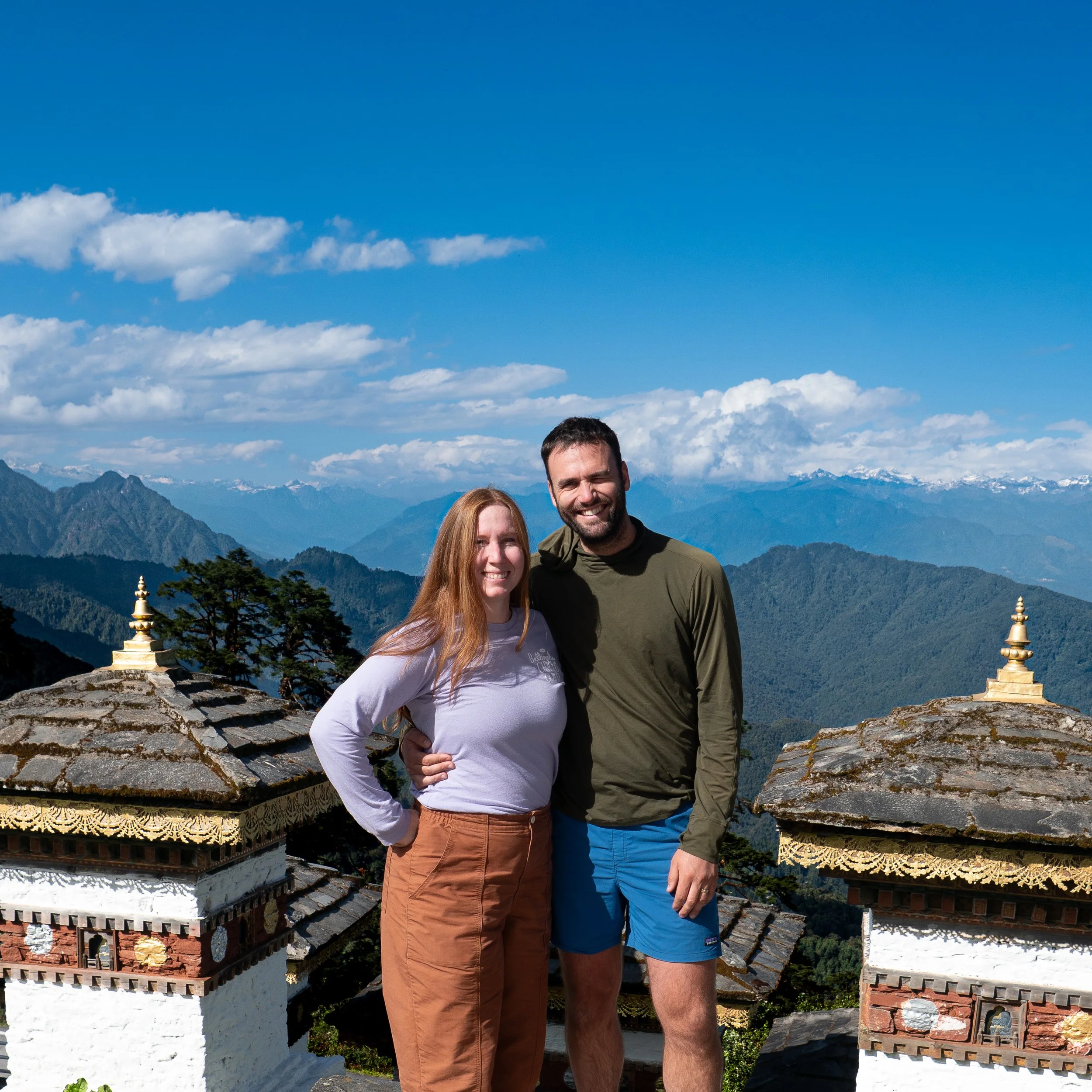
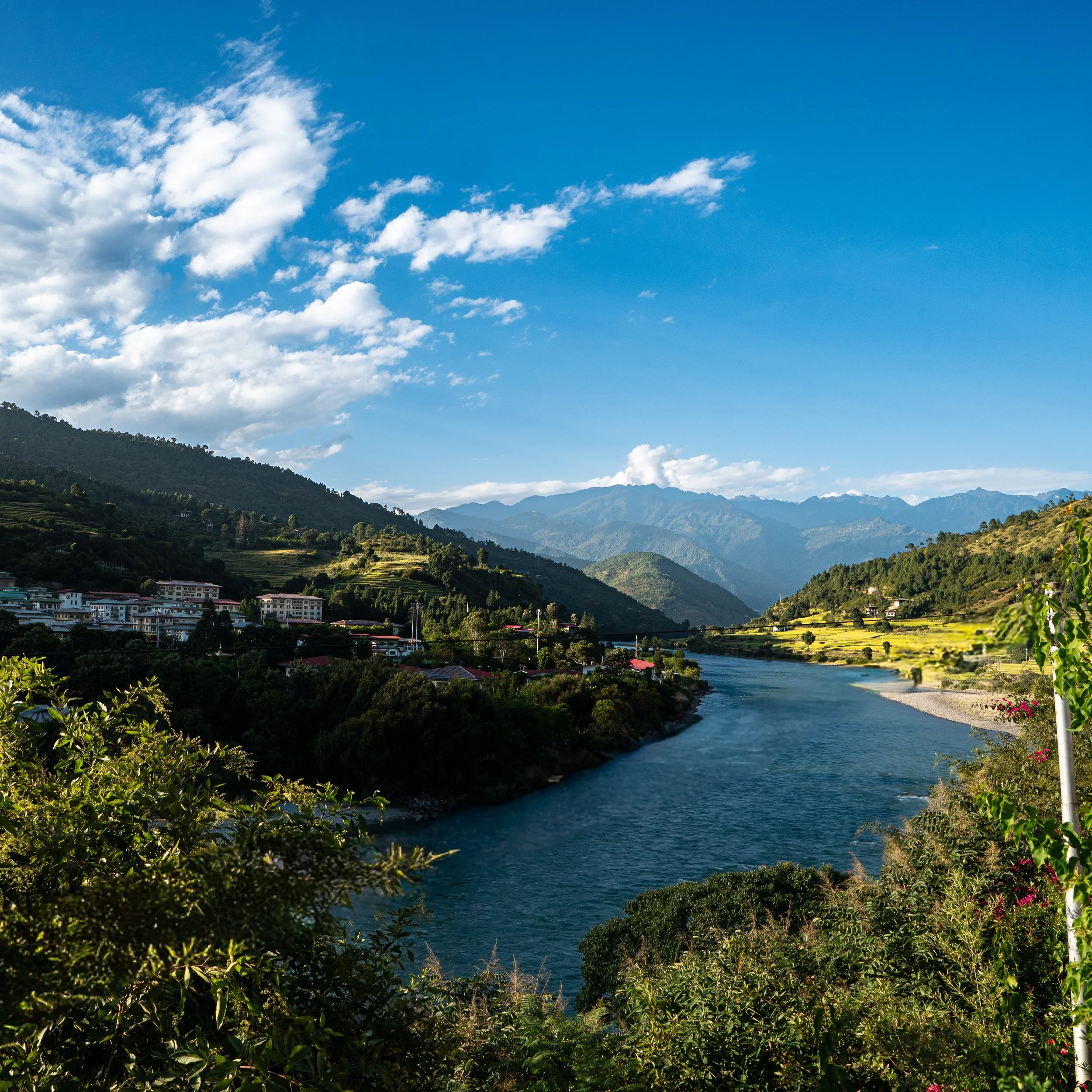
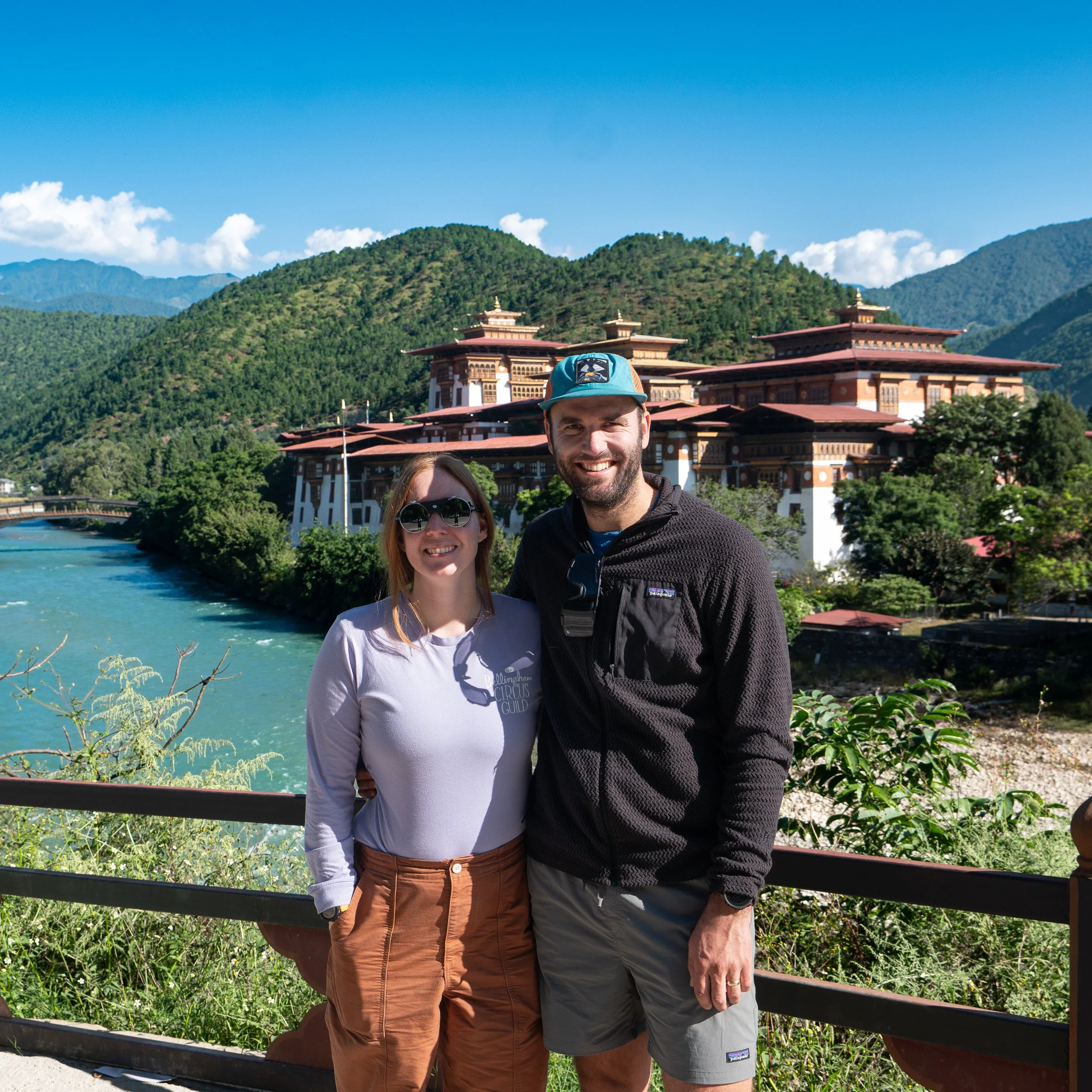
Punakha
Final Thoughts
Leave Some Time on Each Side of Your Trek: Bhutan has some amazing side-quest trips to take across the country that should not be missed, including the Tiger’s Nest Monastery and all the various attractions of Punakha. Yes, they are all semi-tourist traps, but the general cost of visiting Bhutan ensures that even the super hot-spots feel less traveled. A day or so in Paro will give you time to acclimatize before you head up to start the trek.
Pass Contingency Plan: This only came up for me when I thought there was a chance that Amanda and I would not make it over Yeleyla Pass. Typically, your horse team will pass you on the way up the pass and go over before you do. The question that came up for me—and which I, fortunately, did not have to answer—is: what happens if you do not make it over? All of your stuff is on the other side, but you are not. It’s a good thing to ask your guide about before you start out. The entire region is very connected by phone, so it is likely that your guide would just call back the horse team, but it is worth checking since they will have to turn around and head back over the pass if you do not make it.
Breaking Up Day 5: Lingshi to Shodu is a long day at elevation, and you will have just come over a 16,000-foot pass. When Amanda and I looked back on it, we thought it would have been much nicer to sleep at the head of the Moo Chi River before making the 1,500-foot ascent to Yeleyla Pass. You would be sleeping at 14,500 feet, but given that the previous three nights would have been only about 1,000 feet lower, this shouldn’t be an issue. It also would put you on top of the pass in the morning, providing better weather. It may not be an option as there may be rules about where you can sleep, but it is worth checking as it would also allow you to take some more time at Lingshi Dzong in the morning.
Afternoon Cloud Cover: We experienced a lot of late afternoon cloud cover. I believe this is pretty typical for the region, but keep this in mind in case there is something you want to see that your itinerary has you arriving at in the afternoon. Chances are your vantage point will be socked in—try to get to it before noon or arrange your trek so that you wake up nearby, within striking distance.
Tipping: When tipping, it seemed like there were three tiers to consider. The bottom tier is the horseman and the helper; these seemed to get a tip of $75–$100 USD/person. The middle tier is the chef and driver while in the country, who received around $100–$150 USD/person. Then your guide is kinda up to you, but we felt that 2–3x the middle tier was about right. Use your own judgment obviously, based on the service you experience.
Acquiring a Guide: I made contact with about 10 guides via Bhutan’s tourism webpage. All were professional and courteous, even when informing them that I had chosen another guide. In general, the country is extremely serious about protecting its tourists, and I got the feeling that there would be lots of help if I had shown up and my guide had catfished me. In general, though, it’s still tough wiring the kind of money you have to pay to someone you’ve only just been emailing with.
Jomolhari Base Camp Tent Setup: If you do bring your own tent along the way, make sure you try to set it up or have it set up near other tents, especially at Jomolhari Base Camp. The yaks are pretty nimble, but if two of them are fighting, we felt like there was no way anything could have been done to prevent them from destroying ours. They seem to stay away from larger groups of tents—so power in numbers, I guess.
Self-Guided Options: As two people who always prefer self-guided options on our international trekking trips, I can honestly say this is really not possible in Bhutan. The country has a strict approach to trekking in their mountains, and I have to say, it is very professional and beneficial to the local people of Bhutan. While it can be frustrating to have your hand held the entire time at what is, respectively, a very high cost, try to appreciate the value you get and the knowledge that much of the money you pay is highly controlled and directed back into the country you are traveling in.